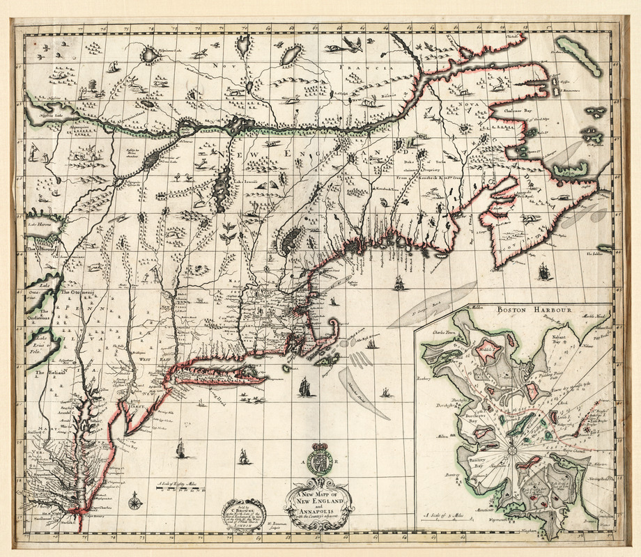
Mapping 17th Century New England: Proportional Reasoning and European Priorities
Information
Overview:
In this lesson, students explore ways that proportional reasoning connects to mapmaking while highlighting the perspectives of the mapmakers. Students consider the scale of maps, thinking about the relationships between quantities, as well as the use of exaggerated and understated map features to glean information about the mapmaker’s perspective. Created by Sarah Thayer, Josiah Quincy School, Boston Public Schools
- Material Type:
- Lesson Plan
- Grade Level:
- 6, 7, 8
- Subjects:
- Colonization and Settlement (1585-1763), American History Across the Eras, Geography, Math and Maps
- Location:
- New England
- Time Period:
- 1585-1763