Toggle navigation
LMEC Home
Exhibitions
Georeferencing
Tools for Teachers
Collections
My Favorites
Sign Up / Log In
Search
Search the map portal
Map Collection
Map Collection
Map Sets
Search
Search
Search for
Search In
All Fields
Creator
Title
Subject
Place
Search All Digital Collections
Advanced Search
182 Results
My Search
Start Over
1885
Remove constraint 1885
Filter your Search
Place
North and Central America
139
United States
80
Costa Rica
17
Boston
16
Suffolk (county)
16
Europe
14
Guanacaste
7
Puntarenas
7
more
Place
»
Topic
Boston (Mass.)--Maps
7
Grant, Ulysses S. (Ulysses Simpson), 1822-1885
5
Fire risk assessment--Massachusetts--Boston--Maps
4
Richmond (Va.)--History--Civil War, 1861-1865--Maps
4
Boston (Mass.)--Aerial views
3
Europe--Maps
3
North Carolina--Maps
3
Bahamas--Maps
2
more
Topic
»
Date
Date range begin
–
Date range end
Current results range from
1694
to
1925
View distribution
Creator
United States. Hydrographic Office
48
O.H. Bailey & Co
21
Franke, M. (Max)
11
Geological Survey (U.S.)
9
Ruebsam, E. A. (E. August)
9
Bachmann, John, fl. 1849-1885
8
Erni, A. (Adolphe)
7
Lesher, C. E. (Carl Eugene), 1885-
7
more
Creator
»
Format
Maps/Atlases
179
Manuscripts
3
Prints
2
Books
1
Georeferenced
Yes
10
No
172
Collection
Norman B. Leventhal Map Center Collection
177
Urban Maps
60
Maritime Charts and Atlases
55
Boston and New England Maps
47
Lucius Beebe Memorial Library Historic Maps
1
Massachusetts Real Estate Atlases
1
Ralph Finos Map Collection at Phillips Academy
1
Sidney R. Knafel Map Collection at Phillips Academy
1
more
Collection
»
Available to use
No known restrictions
180
Search Constraints
Sort by relevance
relevance
title
date (asc)
date (desc)
Number of results to display per page
50 per page
10
per page
20
per page
50
per page
100
per page
View results as:
grid view
map view
Search Results
151.
View of Sea Isle City : New Jersey
152.
View of the city of St. Augustine, Fla : the oldest town in the United States, Juan de Ponce de Leon ldd [?] 1512
153.
General plan of Franklin Park
154.
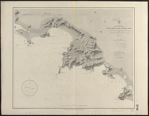
[Plan for proposed Charles River Park]
155.
Atlas of Brookfield, West Brookfield and No. Brookfield towns, Massachusetts : compiled from recent and actual surveys and records
156.
Atlas of Brookfield, West Brookfield and North Brookfield towns, Massachusetts
157.
Atlas of the city of Boston : Charlestown and Brighton, volume six : from actual surveys and official records
158.
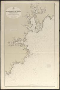
England--south coast, approaches to Falmouth : republished from the British Admiralty chart of 1872
159.
Horta and Pim Bays, Fayal Id. Azores ; Fayal Channel, Azores
160.
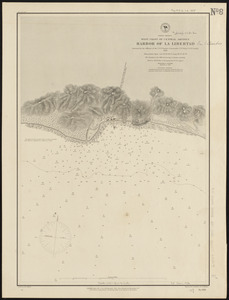
North America, west coast of Central America, harbor of La Libertad
161.
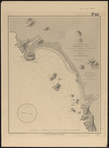
North America, west coast of Mexico, Chacahua Bay
162.
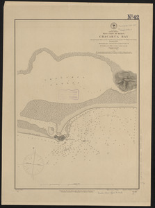
North America, west coast of Mexico, Chamela Bay
163.
North America, west coast of Mexico, Tenacatita and Navidad Bays : surveyed by the officers of the U.S.S. Ranger, Commander...
164.
[Plan of section of proposed Charles River Park]
165.
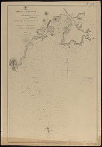
Simoda Harbor, I. of Nippon
166.
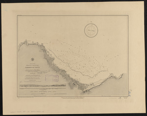
South America, north-west coast of Peru, harbor of Payta
167.
West Indies, island of Santo Domingo, harbor of Jacmel : from an English survey in 1817
168.
West Indies, island of Santo Domingo, the Môle of St. Nicolas : from the latest English survey
169.
West Indies, ports on the north west coast of Haiti : from the most recent surveys
170.
West Indies, ports on the south and west coasts of Haiti : from the most recent surveys
171.
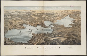
Lake Chautauqua
172.
Ludlow, Vt
173.
Map of Boston : engraved expressly for Clark's Boston blue book
174.
Rutland, Vt
175.
Plat and environs of the property of Atlantic Land Co.
176.
Plan of Dartmouth made by Henry H. Crapo, dated June, 1831
177.
Fostoria, Seneca County, O
178.
Manchester Ship Canal : general map of the district showing canals, rivers, railways, and roads
179.
Map of Boston, for 1888
180.
Pittsfield, Merrimackcounty [sic], N.H : 1884
181.
Whitman, Massachusetts : 1889
182.
Insurance maps of Boston volume one
‹ Prev
Next ›
1
2
3
4


![[Plan for proposed Charles River Park]](https://bpldcassets.blob.core.windows.net/derivatives/images/commonwealth:cf95jc91c/image_thumbnail_300.jpg)


![[Plan of section of proposed Charles River Park]](https://bpldcassets.blob.core.windows.net/derivatives/images/commonwealth:x059cc51b/image_thumbnail_300.jpg)


![Pittsfield, Merrimackcounty [sic], N.H](https://bpldcassets.blob.core.windows.net/derivatives/images/commonwealth:3f463513v/image_thumbnail_300.jpg)

