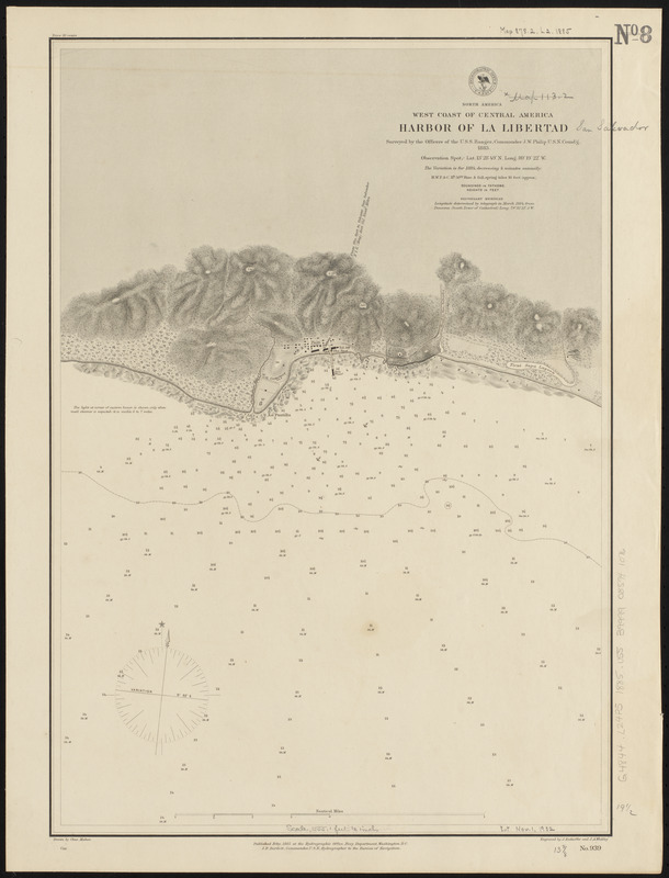
North America, west coast of Central America, harbor of La Libertad
Item Information
- Title:
- North America, west coast of Central America, harbor of La Libertad
- Title (alt.):
-
Harbor of La Libertad
- Issuing body:
- United States. Hydrographic Office
- Engraver:
- Enthoffer, J. (Joseph), 1818-1901
- Draftsman:
- Mahon, Charles
- Engraver:
- Waddey, J. A. (John A.)
- Name on Item:
-
surveyed by the officers of the U.S.S. Ranger, Commander J.W. Philip U.S.N. comd'g, 1883 ; drawn by Chas. Mahon ; engraved by J. Enthoffer and J.A. Waddey
- Date:
-
1885
- Format:
-
Maps/Atlases
- Location:
-
Boston Public Library
Norman B. Leventhal Map & Education Center - Collection (local):
-
Norman B. Leventhal Map & Education Center Collection
- Subjects:
-
Harbors--El Salvador--La Libertad (La Libertad)--Maps
Nautical charts--El Salvador--La Libertad (La Libertad)
La Libertad (La Libertad, El Salvador)--Maps
- Places:
-
El SalvadorLa LibertadLa Libertad
- Extent:
- 1 map ; 50 x 35 cm
- Terms of Use:
-
No known copyright restrictions.
No known restrictions on use.
- Publisher:
-
Washington, D.C. :
Hydrographic Office
- Scale:
-
Scale approximately 1:18,600
- Language:
-
English
- Notes:
-
Relief shown by hachures and spot heights. Depths shown by soundings and isolines.
- Identifier:
-
06_01_015894
- Call #:
-
G9096.P5 svar .U55
- Barcode:
-
39999085941076


