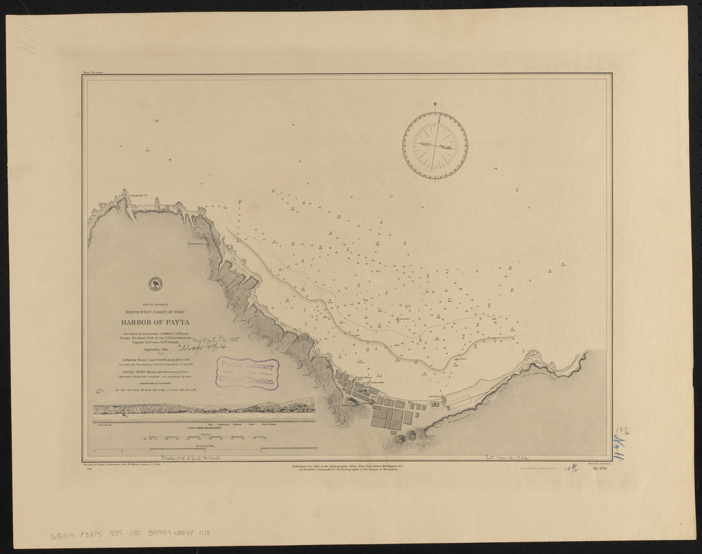
South America, north-west coast of Peru, harbor of Payta
Item Information
- Title:
- South America, north-west coast of Peru, harbor of Payta
- Title (alt.):
-
Harbor of Payta
- Issuing body:
- United States. Hydrographic Office
- Surveyor:
- Miller, J. M. (James M.)
- Draftsman:
- Owen, F. D.
- Surveyor:
- Read, M. L. (Maurice L.)
- Printer:
- Leggo Bros. & Co.
- Name on Item:
-
surveyed by Lieutenant J.M. Miller and Ensign M.L. Read, U.S.N., of the U.S.S. Lackawanna, Captain A.P. Cooke, U.S.N. comd'g, September 1884 ; drawn by F.D. Owen
- Date:
-
1885
- Format:
-
Maps/Atlases
- Location:
-
Boston Public Library
Norman B. Leventhal Map & Education Center - Collection (local):
-
Norman B. Leventhal Map & Education Center Collection
- Subjects:
-
Harbors--Peru--Paita--Maps
Nautical charts--Peru--Paita
Paita (Peru)--Maps
- Places:
-
PeruPiura (region)Paita
- Extent:
- 1 map ; 34 x 47 cm
- Terms of Use:
-
No known copyright restrictions.
No known restrictions on use.
- Publisher:
-
Washington, D.C. :
Hydrogrpahic Office
- Scale:
-
Scale approximately 1:9,300
- Language:
-
English
- Notes:
-
Relief shown by hachures. Depths shown by soundings and isolines.
Includes View from anchorage.
- Identifier:
-
06_01_015890
- Call #:
-
G9096.P5 svar .U55
- Barcode:
-
39999085941118


