Search Constraints
Search Results

1. Becket

2. Brookfield

3. Charlton

4. Chester

5. Clappville
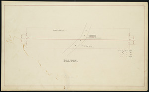
6. Dalton

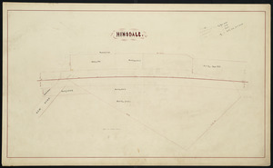
8. Hinsdale
9. Huntington

10. Indian Orchard

11. Palmer

12. Pittsfield
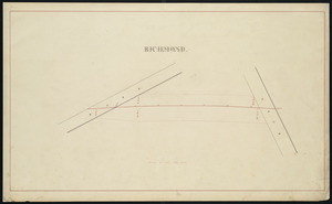
13. Richmond

14. Russell

15. Shaker Village

16. Spencer

17. Springfield

18. Warren

19. Washington
