Toggle navigation
LMEC Home
Exhibitions
Georeferencing
Tools for Teachers
Collections
My Favorites
Sign Up / Log In
Search
Search the map portal
Map Collection
Map Collection
Map Sets
Search
Search
Search for
Search In
All Fields
Creator
Title
Subject
Place
Search All Digital Collections
Advanced Search
250 Results
My Search
Start Over
1831
Remove constraint 1831
Filter your Search
Place
North and Central America
214
United States
190
Middlesex (county)
31
Worcester (county)
23
Hampden (county)
18
Massachusetts
17
Berkshire (county)
16
Essex (county)
15
more
Place
»
Topic
Nautical charts--Ontario, Lake (N.Y. and Ont.)
6
Ontario, Lake (N.Y. and Ont.)--Navigation--Maps
6
Canada--Maps
3
Europe--Maps
3
London (England)--Maps
3
Massachusetts--Maps
3
Nautical charts--Superior, Lake
3
New England--Maps
3
more
Topic
»
Date
Date range begin
–
Date range end
Current results range from
1762
to
1931
View distribution
Creator
Hales, John Groves
29
Comstock, C. B. (Cyrus Ballou), 1831-1910
15
U.S. Lake Survey
14
Conder, Thomas, 1746 or 1747-1831
13
Barber, Luke
7
Bartholomew, John, 1831-1893
7
Nares, George S. (George Strong), 1831-1915
6
United States. Hydrographic Office
6
more
Creator
»
Format
Maps/Atlases
249
Manuscripts
7
Drawings/Illustrations
1
Objects/Artifacts
1
Georeferenced
Yes
14
No
236
Collection
Town plans, 1830
141
Norman B. Leventhal Map Center Collection
82
Boston and New England Maps
24
Maritime Charts and Atlases
22
Urban Maps
22
American Revolutionary War-Era Maps
21
William L. Clements Library Collection
8
New York Public Library Collection
4
more
Collection
»
Available to use
No known restrictions
227
Creative Commons license
9
Search Constraints
Sort by relevance
relevance
title
date (asc)
date (desc)
Number of results to display per page
20 per page
10
per page
20
per page
50
per page
100
per page
View results as:
grid view
map view
Search Results
1.
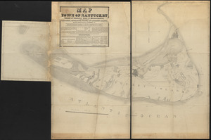
Map of Nantucket made by J. Prescott, dated 1831
2.
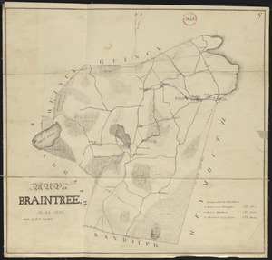
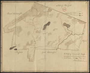
Plan of Braintree, surveyor's name not given, dated 1831
3.
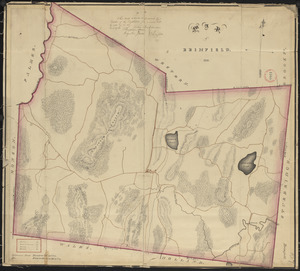
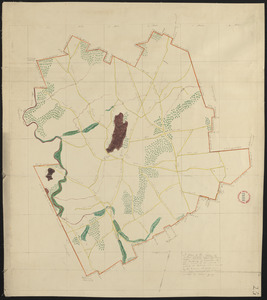
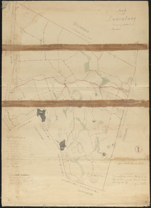
Plan of Brimfield, surveyor's name not given, dated 1831
4.
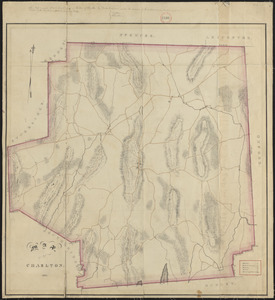
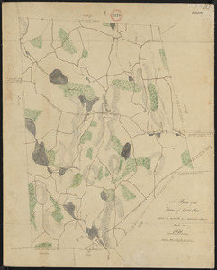
Plan of Charlton made by Barlow Freeman, dated 1831
5.
Plan of Chatham, surveyor's name not given, dated 1831
6.
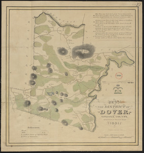
Plan of Dover made by William Ellis, dated 1831
7.
Plan of Egremont made by Moses Loomis, dated 1831
8.
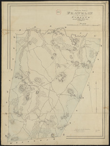
Plan of Franklin, surveyor's name not given, dated 1831
9.
Plan of Freetown, surveyor's name not given, dated 1831
10.
Plan of Gardner made by William Young, dated 1831
11.
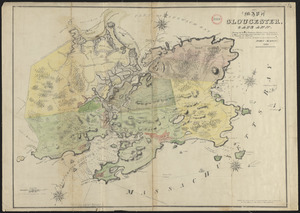
Plan of Gloucester made by John Mason, dated 1831
12.
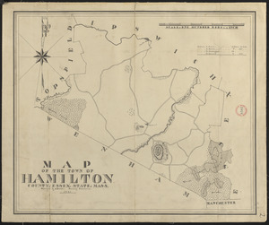
Plan of Hamilton made by A. Brown, dated 1831
13.
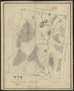
Plan of Holland made by Emerson Johnson, dated 1831
14.
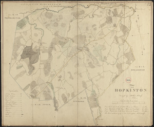
Plan of Hopkinton made by Matthew Metcalf, dated 1831
15.
Plan of Hubbardston made by William Young, dated 1831
16.
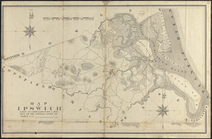
Plan of Ipswich made by Philander Anderson, dated 1831
17.
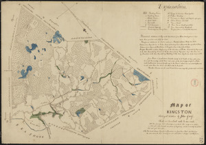
Plan of Kingston made by John Gray, dated 1831
18.
Plan of Leicester, surveyor's name not given, dated 1831
19.
Plan of Lunenburg made by Cyrus Kilburn, dated 1831
20.
Plan of Milford made by Newell Nelson, dated 1831
‹ Prev
Next ›
1
2
3
4
5
…
12
13