Toggle navigation
LMEC Home
Exhibitions
Georeferencing
Tools for Teachers
Collections
My Favorites
Sign Up / Log In
Search
Search the map portal
Map Collection
Map Collection
Map Sets
Search
Search
Search for
Search In
All Fields
Creator
Title
Subject
Place
Search All Digital Collections
Advanced Search
1475 Results
My Search
Start Over
Subject
"Boston (Mass.)--Maps"
Remove constraint Subject: "Boston (Mass.)--Maps"
Filter your Search
Place
North and Central America
1,474
United States
1,472
Suffolk (county)
1,391
Boston
1,387
Massachusetts
1,090
Boston Harbor
125
Roxbury
89
Charlestown
71
more
Place
»
Topic
Boston (Mass.)--Maps
741
City planning--Massachusetts--Boston--Maps
407
Urban renewal--Massachusetts--Boston--Maps
245
Real property--Massachusetts--Boston--Maps
243
Landowners--Massachusetts--Boston--Maps
160
Buildings--Massachusetts--Boston--Maps
121
Land use--Massachusetts--Boston--Maps
98
Roxbury (Boston, Mass.)--Maps
88
more
Topic
»
Date
Date range begin
–
Date range end
Current results range from
1689
to
2023
View distribution
Creator
Boston Redevelopment Authority
386
Bromley, George Washington
69
Bromley, Walter Scott
68
G.W. Bromley & Co.
46
Geo. H. Walker & Co
28
Boston (Mass.). Engineering Dept
21
Boynton, George W., d. 1884
21
Sampson, Davenport & Co
21
more
Creator
»
Format
Maps/Atlases
1,472
Manuscripts
50
Drawings/Illustrations
5
Posters
1
Prints
1
Georeferenced
Yes
140
No
1,335
Collection
Boston and New England Maps
1,200
Urban Maps
1,011
Norman B. Leventhal Map & Education Center Collection
994
Boston Redevelopment Authority Collection
449
American Revolutionary War-Era Maps
129
Mapping Boston Collection
52
Massachusetts Real Estate Atlases
38
Maritime Charts and Atlases
28
more
Collection
»
Available to use
No known restrictions
1,292
Creative Commons license
116
Search Constraints
Sort by relevance
relevance
title
date (asc)
date (desc)
Number of results to display per page
20 per page
10
per page
20
per page
50
per page
100
per page
View results as:
grid view
map view
Search Results
1281.
Back Bay zoning district map
1282.
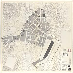
Central business district project no Mass r- : existing land use
1283.
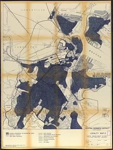
Central business district project no Mass r- : locality map 2
1284.
Central business district urban renewal area Massachusetts r-82 : acquisition plan
1285.
Central business district urban renewal area Massachusetts r-82 : proposed land use
1286.
Central business district urban renewal area Massachusetts r-82 : property map
1287.
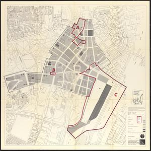
Central business district urban renewal area Massachusetts r-82 A,B,C : proposed land use
1288.
Charlestown project no. Mass r-42 (GN) : existing zoning
1289.
Charlestown urban renewal area r-55 : existing land use
1290.
Downtown project no. Mass. r-46 : existing land use
1291.
Government Center project Mass. r-35 : parcel 7 & subway structure topographic map
1292.
Illustrative site plan : South End urban renewal area, Massachusetts r-56
1293.
Landscaping plan of City Hall Plaza, Boston
1294.
Midtown area plan for the public realm
1295.
Park Plaza urban renewal area : environmental deficiencies and blighting influences map
1296.
Plans of structures next to the end towers of Longfellow Bridge
1297.
Railroad map of all street and steam railroads in Boston and vicinity
1298.
Roxbury-N. Dorchester G.N.R.P. r-50 : existing circulation
1299.
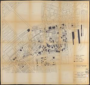
South Cove project no. Mass. r- : existing building condition
1300.
South Cove property ownership 1962
‹ Prev
Next ›
1
2
…
61
62
63
64
65
66
67
68
69
…
73
74