Search Constraints
Search Results
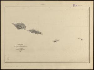
11461. Samoan or Navigator Islands

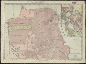
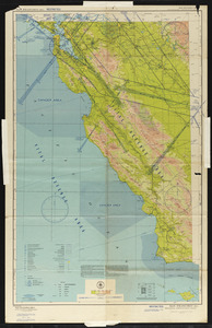
11464. San Francisco
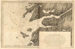
11469. Sandwich Bay
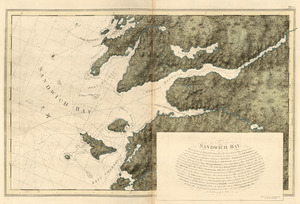
11470. Sandwich Bay

11471. Sandwich Bay ... low water
11473. Sandy Hook, New Jersey

11474. Sandy-Bay, Mass


![Saratoga Victory Mfg. Co., Victory Mill No. 1 (Cotton Mill), Victory Mills, N.Y. [insurance map]](https://bpldcassets.blob.core.windows.net/derivatives/images/commonwealth:4j03dd77t/image_thumbnail_300.jpg)
