Toggle navigation
LMEC Home
Exhibitions
Georeferencing
Tools for Teachers
Collections
My Favorites
Sign Up / Log In
Search
Search the map portal
Map Collection
Map Collection
Map Sets
Search
Search
Search for
Search In
All Fields
Creator
Title
Subject
Place
Search All Digital Collections
Advanced Search
13385 Results
Filter your Search
Place
North and Central America
9,353
United States
7,078
Suffolk (county)
1,664
Boston
1,621
Europe
1,035
Canada
949
Massachusetts
794
New York
532
more
Place
»
Topic
Boston (Mass.)--Maps
741
City planning--Massachusetts--Boston--Maps
418
United States--History--Revolution, 1775-1783--Maps
329
United States--Maps
315
Urban renewal--Massachusetts--Boston--Maps
254
Real property--Massachusetts--Boston--Maps
252
Massachusetts--Maps
219
Insurance surveys
197
more
Topic
»
Date
Date range begin
–
Date range end
Current results range from
1482
to
2023
View distribution
Creator
United States. Hydrographic Office
595
Boston Redevelopment Authority
403
Des Barres, Joseph F. W. (Joseph Frederick Wallet), 1722-1824
247
Royal United Services Institute for Defence and Security Studies
160
Jefferys, Thomas, -1771
154
George, III, King of Great Britain, 1738-1820
152
George, IV, King of Great Britain, 1762-1830
151
O.H. Bailey & Co
148
more
Creator
»
Format
Maps/Atlases
13,205
Manuscripts
985
Prints
102
Books
49
Drawings/Illustrations
44
Photographs
15
Objects/Artifacts
13
Documents
7
more
Format
»
Georeferenced
Yes
979
No
12,406
Collection
Norman B. Leventhal Map Center Collection
8,891
American Revolutionary War-Era Maps
3,305
Boston and New England Maps
2,804
Urban Maps
2,397
Maritime Charts and Atlases
1,150
William L. Clements Library Collection
910
Library of Congress Collection
618
Boston Redevelopment Authority Collection
475
more
Collection
»
Available to use
No known restrictions
9,952
Creative Commons license
1,677
Search Constraints
Sort by relevance
relevance
title
date (asc)
date (desc)
Number of results to display per page
20 per page
10
per page
20
per page
50
per page
100
per page
View results as:
grid view
map view
Search Results
10601.
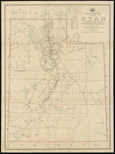
Post route map of the state of Utah showing post offices with the intermediate distances on mail routes in operation on the 1st...
10602.
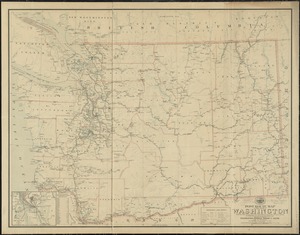
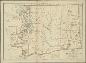
Post route map of the state of Washington showing post offices with the intermediate distances and mail routes in operation on...
10603.
Post route map of the state of Washington showing post offices with the intermediate distances on mail routes in operation on...
10604.
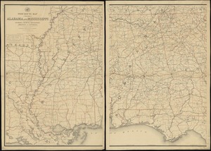
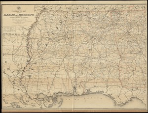
Post route map of the states of Alabama and Mississippi with adjacent parts of Florida, Georgia, Tennessee, Arkansas and...
10605.
Post route map of the states of Alabama and Mississippi with adjacent parts of Florida, Georgia, Tennessee, Arkansas and...
10606.
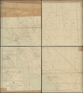
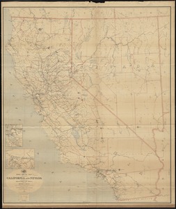
Post route map of the states of California and Nevada showing post offices with the intermediate distances on mail routes in...
10607.
Post route map of the states of California and Nevada showing post offices with the intermediate distances on mail routes in...
10608.
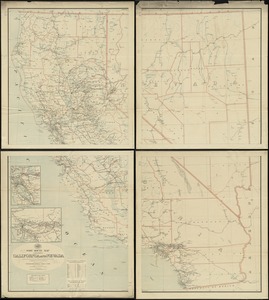
Post route map of the states of California and Nevada with adjacent parts of Oregon, Idaho, Utah, Arizona and of the Republic...
10609.
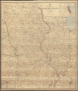
Post route map of the states of Illinois, Iowa, and Missouri with adjacent parts of Indiana, Wisconsin, Minnesota, Nebraska,...
10610.
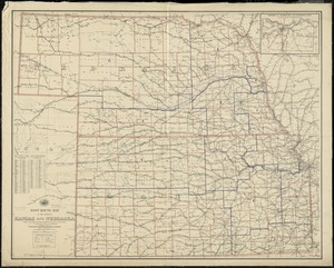
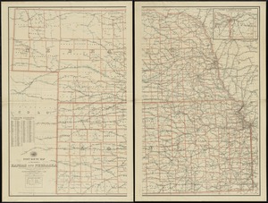
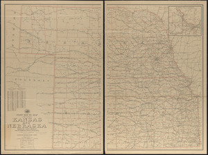
Post route map of the states of Kansas and Nebraska showing post offices with the intermediate distances and mail routes in...
10611.
Post route map of the states of Kansas and Nebraska showing post offices with the intermediate distances on mail routes in...
10612.
Post route map of the states of Kansas and Nebraska showing post offices with the intermediate distances on mail routes in...
10613.
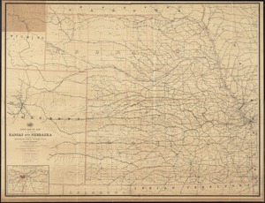
Post route map of the states of Kansas and Nebraska with adjacent parts of Missouri, Iowa, Dakota, Colorado, Texas, and Indian...
10614.
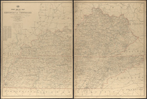
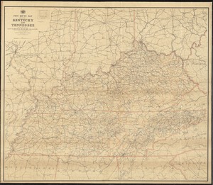
Post route map of the states of Kentucky and Tennessee showing post offices and intermediate distances on mail routes in...
10615.
Post route map of the states of Kentucky and Tennessee showing post offices with the intermediate distances and mail routes in...
10616.
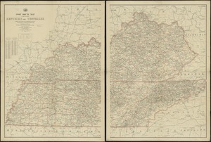
Post route map of the states of Kentucky and Tennessee with adjacent parts of Va., West Va., Ohio, Ind., Ill., Mo., Ark.,...
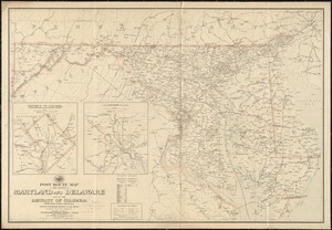
10617.
Post route map of the states of Maryland and Delaware and of the District of Columbia showing post offices with the...
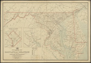
10618.
Post route map of the states of Maryland and Delaware and of the District of Columbia showing post offices with the...
10619.
Post route map of the states of Massachusetts, Rhode Island, Connecticut showing post offices with the intermediate distances...
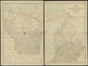
10620.
Post route map of the states of Michigan and Wisconsin showing post offices and the intermediate distances on mail routes in...
‹ Prev
Next ›
1
2
…
527
528
529
530
531
532
533
534
535
…
669
670