Toggle navigation
LMEC Home
Exhibitions
Georeferencing
Tools for Teachers
Collections
My Favorites
Sign Up / Log In
Search
Search the map portal
Map Collection
Map Collection
Map Sets
Search
Search
Search for
Search In
All Fields
Creator
Title
Subject
Place
Search All Digital Collections
Advanced Search
13518 Results
Filter your Search
Place
North and Central America
10,232
United States
8,367
Massachusetts
2,778
Suffolk (county)
1,675
Boston
1,631
Europe
1,386
Canada
949
New York
640
more
Place
»
Topic
Boston (Mass.)--Maps
746
City planning--Massachusetts--Boston--Maps
418
United States--History--Revolution, 1775-1783--Maps
329
United States--Maps
321
Real property--Massachusetts--Boston--Maps
254
Urban renewal--Massachusetts--Boston--Maps
254
Massachusetts--Maps
230
Insurance surveys
197
more
Topic
»
Date
Date range begin
–
Date range end
Current results range from
1482
to
2023
View distribution
Creator
United States. Hydrographic Office
596
Boston Redevelopment Authority
404
Des Barres, Joseph F. W. (Joseph Frederick Wallet), 1722-1824
247
Royal United Services Institute for Defence and Security Studies
160
Jefferys, Thomas, -1771
154
George, III, King of Great Britain, 1738-1820
152
George, IV, King of Great Britain, 1762-1830
151
O.H. Bailey & Co
148
more
Creator
»
Format
Maps/Atlases
13,337
Manuscripts
985
Prints
102
Books
49
Drawings/Illustrations
44
Photographs
15
Objects/Artifacts
13
Documents
7
more
Format
»
Georeferenced
Yes
979
No
12,539
Collection
Norman B. Leventhal Map & Education Center Collection
9,022
American Revolutionary War-Era Maps
3,305
Boston and New England Maps
2,900
Urban Maps
2,425
Maritime Charts and Atlases
1,167
William L. Clements Library Collection
910
Library of Congress Collection
618
Boston Redevelopment Authority Collection
475
more
Collection
»
Available to use
No known restrictions
10,085
Creative Commons license
1,677
Search Constraints
Sort by relevance
relevance
title
date (asc)
date (desc)
Number of results to display per page
20 per page
10
per page
20
per page
50
per page
100
per page
View results as:
grid view
map view
Search Results
10221.
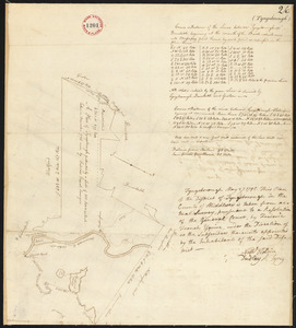
Plan of Tyngsborough surveyed by Fred French, dated May 27, 1795.
10222.
Plan of Tyringham, surveyor's name not given, dated 1830
10223.
Plan of Tyringham, surveyor's name not given, dated May 1795.
10224.
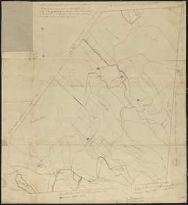
Plan of Union surveyed by Ebenezer Jennison, dated 1794-5.
10225.
Plan of Upton made by Nahum W. Holbrook, dated 1831
10226.
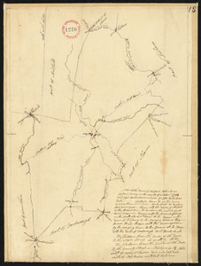
Plan of Upton, surveyor's name not given, dated May 19, 1795.
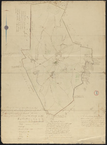
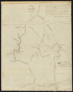
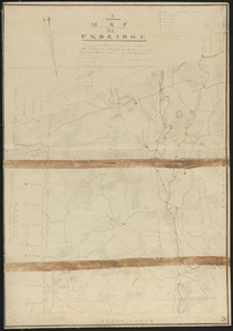
10227.
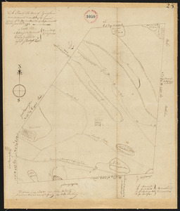
Plan of Uxbridge made by Abiel Jaques, dated 1830
10228.
Plan of Uxbridge, made by Frederic Taft, dated May 25, 1795.
10229.
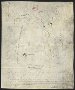
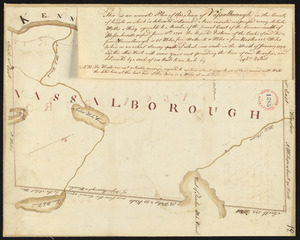
Plan of Vassalborough surveyed by Ephraim Ballard, dated January, 1795.
10230.
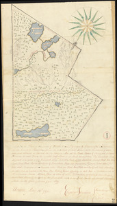
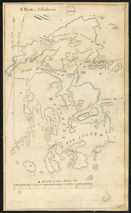
Plan of Vinalhaven made by J. Vinal, in 1786. Scale 200rds to 1".
10231.
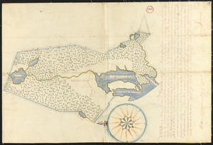
Plan of Waldoborough surveyed by Ebenezer Jennison, dated 1794-5.
10232.
Plan of Wales (South Brimfield), made by Daniel Wright, dated April 1, 1795.
10233.
Plan of Wales surveyed by James Shurtleff, dated 1794.
10234.
Plan of Wales, surveyor's name not given, dated 1830
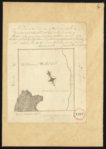
10235.
Plan of Walpole made by Elijah Hewins, dated December, 1832
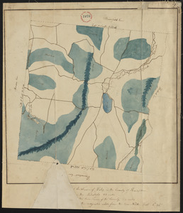
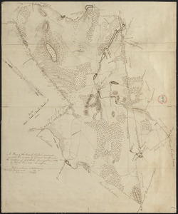
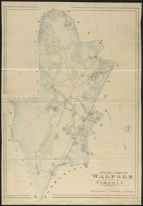
10236.
Plan of Walpole made by John G. Hales, dated 1831
10237.
Plan of Walpole, surveyor's name not given, dated October 1794.
10238.
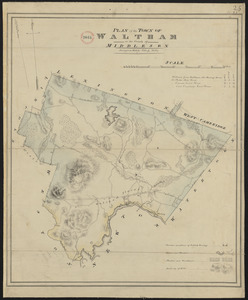
Plan of Waltham made by John G Hales, dated 1831
10239.
Plan of Waquoit Bay in the town of Falmouth
10240.
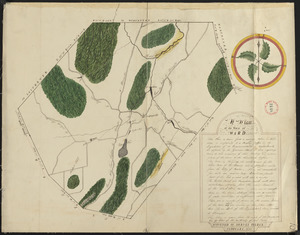
Plan of Ward (Auburn) made by Hervey Peirce, dated February 1831
‹ Prev
Next ›
1
2
…
508
509
510
511
512
513
514
515
516
…
675
676