Toggle navigation
LMEC Home
Exhibitions
Georeferencing
Tools for Teachers
Collections
My Favorites
Sign Up / Log In
Search
Search the map portal
Map Collection
Map Collection
Map Sets
Search
Search
Search for
Search In
All Fields
Creator
Title
Subject
Place
Search All Digital Collections
Advanced Search
14164 Results
Filter your Search
Place
North and Central America
10,832
United States
8,868
Massachusetts
2,832
Suffolk (county)
1,688
Boston
1,644
Europe
1,428
Canada
1,010
New York
684
more
Place
»
Topic
Boston (Mass.)--Maps
753
City planning--Massachusetts--Boston--Maps
419
United States--History--Revolution, 1775-1783--Maps
331
United States--Maps
331
Real property--Massachusetts--Boston--Maps
254
Urban renewal--Massachusetts--Boston--Maps
254
North America--Maps--Early works to 1800
241
Massachusetts--Maps
236
more
Topic
»
Date
Date range begin
–
Date range end
Current results range from
1482
to
2023
View distribution
Creator
United States. Hydrographic Office
597
Boston Redevelopment Authority
404
Des Barres, Joseph F. W. (Joseph Frederick Wallet), 1722-1824
247
Jefferys, Thomas, -1771
172
United States. National Ocean Service
170
Royal United Services Institute for Defence and Security Studies
160
George, III, King of Great Britain, 1738-1820
152
George, IV, King of Great Britain, 1762-1830
151
more
Creator
»
Format
Maps/Atlases
13,978
Manuscripts
985
Prints
102
Books
53
Drawings/Illustrations
44
Photographs
15
Objects/Artifacts
13
Documents
7
more
Format
»
Georeferenced
Yes
979
No
13,185
Collection
Norman B. Leventhal Map & Education Center Collection
9,162
American Revolutionary War-Era Maps
3,629
Boston and New England Maps
2,936
Urban Maps
2,511
Maritime Charts and Atlases
1,169
William L. Clements Library Collection
910
Library of Congress Collection
618
Boston Redevelopment Authority Collection
475
more
Collection
»
Available to use
No known restrictions
10,408
Creative Commons license
1,678
Search Constraints
Sort by relevance
relevance
title
date (asc)
date (desc)
Number of results to display per page
20 per page
10
per page
20
per page
50
per page
100
per page
View results as:
grid view
map view
Search Results
10121.
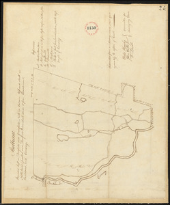
Plan of Shelburne, surveyor's name not given, datd November 1794.
10122.
Plan of Sherborn made by Dalton Goulding, dated 1831
10123.
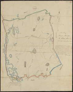
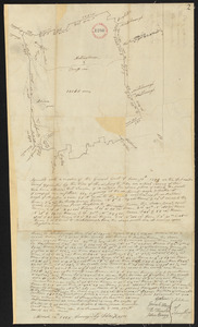
Plan of Sherborn, surveyor's name not given, dated September 1794.
10124.
Plan of Sherburne Bluffs, Nantucket, Mass
10125.
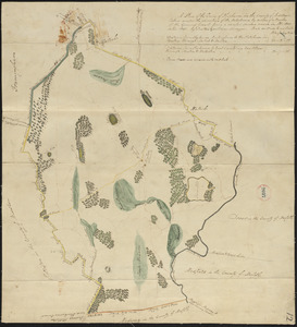
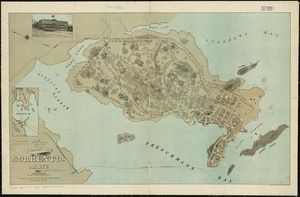
Plan of Shirley made by Caleb Butler, dated 1830
10126.
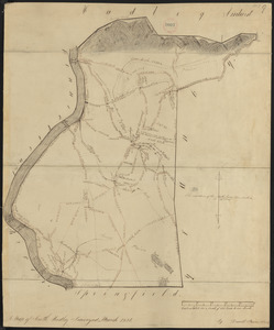
Plan of Shrewsbury made by Henry Snow, dated 1830
10127.
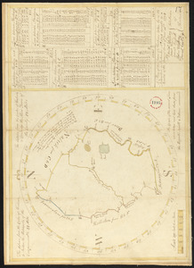
Plan of Shrewsbury surveyed by Silas Keyes, dated 1794-5.
10128.
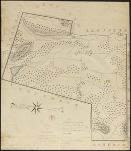
Plan of Shutesbury made by E. S. Darling, dated October 1830
10129.
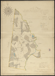
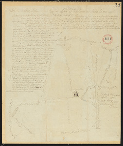
Plan of Shutesbury, surveyor's name not given, dated April 1795.
10130.
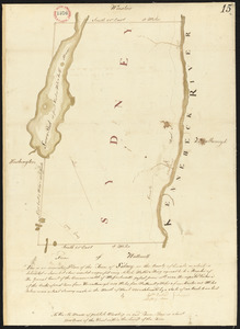
Plan of Sidney surveyed by Sylvester Moore and Ephraim Ballard, dated March 1795.
10131.
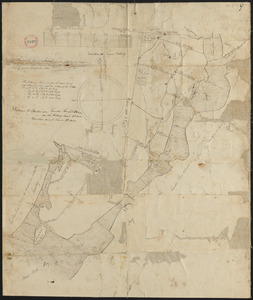
Plan of site for new court house on Pemberton Sq. and Somerset St. for the County of Suffolk : taken by authority of Chapter 377
10132.
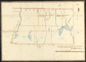
Plan of six townships in Ranges 1 and 2 north of Plymouth Claim, surveyor's name not given, dated February 15, 1794.
10133.
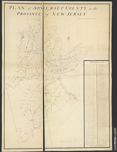
Plan of Somerset County in the province of New Jersey : copied from the original by Lieut. I. Hills, asst. engr
10134.
Plan of Somerset, surveyor's name not given, dated December 1830
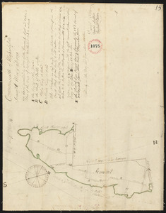
10135.
Plan of Somerset, surveyor's name not given, dated May 23, 1795.
10136.
Plan of Sorrento, Maine
10137.
Plan of South Bay showing the Harbor Commissioners lines
10138.
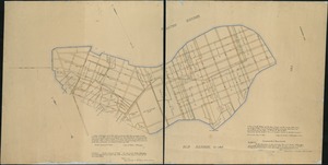
Plan of South Boston
10139.
A plan of South Boston and the owners lands, and the roads, taken from the original plan now in keeping, being the same plan...
10140.
Plan of South Hadley made by Daniel Paine, dated March 1831
‹ Prev
Next ›
1
2
…
503
504
505
506
507
508
509
510
511
…
708
709