Toggle navigation
LMEC Home
Exhibitions
Georeferencing
Tools for Teachers
Collections
My Favorites
Sign Up / Log In
Search
Search the map portal
Map Collection
Map Collection
Map Sets
Search
Search
Search for
Search In
All Fields
Creator
Title
Subject
Place
Search All Digital Collections
Advanced Search
105 Results
My Search
Start Over
Date
1918
Remove constraint Date: <span class='single'>1918</span>
Filter your Search
Place
North and Central America
43
Europe
41
United States
39
Asia
9
Massachusetts
9
France
8
Canada
7
Africa
6
more
Place
»
Topic
France--Maps
6
Hungary--Maps
6
Austria--Maps
5
Balkan Peninsula--Maps
5
Hiking--Vermont--Maps
5
Long Trail (Vt.)--Maps
5
Trails--Vermont--Maps
5
Europe, Central--Maps
4
more
Topic
»
Date
1918
[remove]
105
Date range begin
–
Date range end
Current results range from
1770
to
1999
1918
to
1918
105
Creator
American Geographical Society of New York
34
Congdon, Herbert Wheaton, 1876-1965
5
C.S. Hammond & Company
4
Gross, Alexander, 1879-1958
3
Bromley, George Washington
2
Bromley, Walter Scott
2
Canada. Natural Resources Intelligence Branch
2
Kelly's Directories Ltd.
2
more
Creator
»
Format
Maps/Atlases
104
Photographs
1
Georeferenced
Yes
7
No
98
Collection
Norman B. Leventhal Map & Education Center Collection
99
Boston and New England Maps
3
Massachusetts Real Estate Atlases
3
Urban Maps
3
American Revolutionary War-Era Maps
1
American Textile History Museum Image Collection
1
Robert E. Diefenbach Map Collection at Phillips Academy
1
Sidney R. Knafel Map Collection at Phillips Academy
1
Available to use
No known restrictions
99
Creative Commons license
1
Search Constraints
Sort by relevance
relevance
title
date (asc)
date (desc)
Number of results to display per page
20 per page
10
per page
20
per page
50
per page
100
per page
View results as:
grid view
map view
Search Results
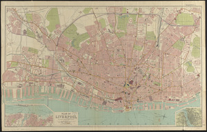
81.
Plan of Liverpool
82.
Plan of the burnt district : showing proposed improvements in streets. Nov. 12th 1872
83.
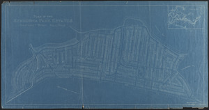
Plan of the Kenberma Park Estates : Nantasket Beach, Hull, Mass.
84.
Poland
85.
Poland & Lithuania
86.
Railroad distance map of the United States, Mexico & Canada
87.
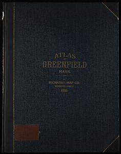
Richards standard atlas of the town of Greenfield, Massachusetts
88.
Romania
89.
Roumania
90.
Siberia
91.
A small map of the sea coast of New England together with the outlines of several of the provinces lying thereon, 1738
92.
South Africa
93.
The south part of New-England, as it is planted this yeare, 1635
94.
Spartanburg, South Carolina : the city of success ; city map and street directory
95.
State of Illinois
96.
Street index map of Oakland, Albany, Berkeley, Emeryville, Piedmont, Alameda, San Leandro, Alameda Co., California
97.
Syria
98.
To his excellency William Shirley Esqr., Captain General and Commander in Chief, in and over his Majesty's province of the...
99.
Town of Nahant
100.
Triangulacion de la provincia de Santa Fé
‹ Prev
Next ›
1
2
3
4
5
6