Toggle navigation
LMEC Home
Exhibitions
Georeferencing
Tools for Teachers
Collections
My Favorites
Sign Up / Log In
Search
Search the map portal
Map Collection
Map Collection
Map Sets
Search
Search
Search for
Search In
All Fields
Creator
Title
Subject
Place
Search All Digital Collections
Advanced Search
13680 Results
Filter your Search
Place
North and Central America
10,344
United States
8,475
Massachusetts
2,789
Suffolk (county)
1,677
Boston
1,633
Europe
1,415
Canada
950
New York
649
more
Place
»
Topic
Boston (Mass.)--Maps
747
City planning--Massachusetts--Boston--Maps
418
United States--History--Revolution, 1775-1783--Maps
329
United States--Maps
322
Real property--Massachusetts--Boston--Maps
254
Urban renewal--Massachusetts--Boston--Maps
254
Massachusetts--Maps
231
Insurance surveys
197
more
Topic
»
Date
Date range begin
–
Date range end
Current results range from
1482
to
2023
View distribution
Creator
United States. Hydrographic Office
597
Boston Redevelopment Authority
404
Des Barres, Joseph F. W. (Joseph Frederick Wallet), 1722-1824
247
Royal United Services Institute for Defence and Security Studies
160
Jefferys, Thomas, -1771
154
George, III, King of Great Britain, 1738-1820
152
George, IV, King of Great Britain, 1762-1830
151
O.H. Bailey & Co
148
more
Creator
»
Format
Maps/Atlases
13,499
Manuscripts
985
Prints
102
Books
49
Drawings/Illustrations
44
Photographs
15
Objects/Artifacts
13
Documents
7
more
Format
»
Georeferenced
Yes
979
No
12,701
Collection
Norman B. Leventhal Map & Education Center Collection
9,096
American Revolutionary War-Era Maps
3,305
Boston and New England Maps
2,915
Urban Maps
2,471
Maritime Charts and Atlases
1,169
William L. Clements Library Collection
910
Library of Congress Collection
618
Boston Redevelopment Authority Collection
475
more
Collection
»
Available to use
No known restrictions
10,246
Creative Commons license
1,678
Search Constraints
Sort by relevance
relevance
title
date (asc)
date (desc)
Number of results to display per page
20 per page
10
per page
20
per page
50
per page
100
per page
View results as:
grid view
map view
Search Results
8941.
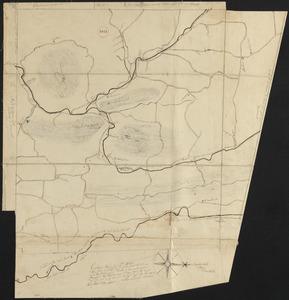
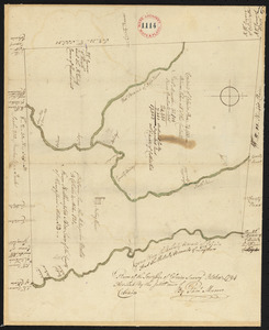
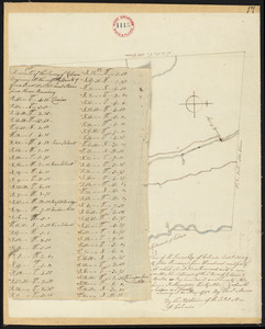
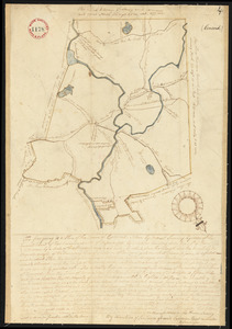
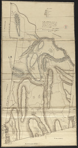
Plan of Chilmark made by Thomas Dunham, dated May 1831
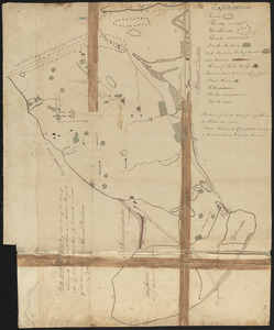
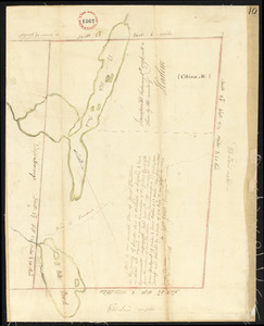
8942.
Plan of China (Harlem), Me, surveyor's name not given, dated December 9, 1795.
8943.
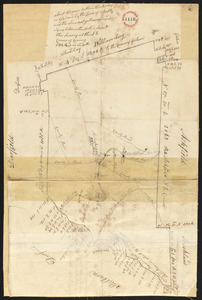
Plan of Church St. district, showing estates and buildings : as proposed to be taken by the city of Boston under the Act of the...
8944.
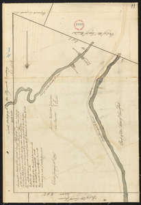
Plan of city lands and streets s.w. of Dover St : prepared from new surveys
8945.
Plan of city lands to be sold Oct. 30th 1850
8946.
Plan of City Wharf in Boston, Mass : shewing 14 lots of land on the side of the south dock of said wharf & Commercial St. : to...
8947.
Plan of Clarksburg, surveyor's name not given, dated 1830
8948.
Plan of Clinton Company's property, "Sawyer's Mills" Boylston, Mass.
8949.
Plan of Clinton, Me., surveyor's name not given, dated 1794.
8950.
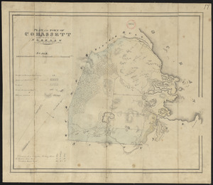
Plan of Cohasset made by John G. Hales, dated 1831
8951.
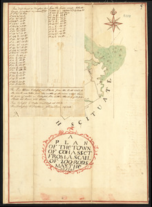
Plan of Cohasset, surveyor's name not given, dated May 30, 1795.
8952.
Plan of Coleman's Farm in Newington containing 13 acres - 125 rods
8953.
Plan of Colrain made by Levi Leonard, dated November 29, 1830
8954.
Plan of Colrain made by Phineas Munn, dated October, 1794.
8955.
Plan of Colrain, surveyor's name not given, dated May, 1798.
8956.
Plan of Concord, made by Ephraim Wood, dated 1794-5.
8957.
Plan of Concord made by John G. Hales, dated 1830
8958.
Plan of Conway made by Arthur W. Hoyt, dated 1830
8959.
Plan of Conway, surveyor's name not given, dated November, 1794.
8960.
Plan of corner of Centry & Beacon St's -- 1741
‹ Prev
Next ›
1
2
…
444
445
446
447
448
449
450
451
452
…
683
684