Toggle navigation
LMEC Home
Exhibitions
Georeferencing
Tools for Teachers
Collections
My Favorites
Sign Up / Log In
Search
Search the map portal
Map Collection
Map Collection
Map Sets
Search
Search
Search for
Search In
All Fields
Creator
Title
Subject
Place
Search All Digital Collections
Advanced Search
13694 Results
My Search
Start Over
Date facet yearly ssim
1550
to
1599
Remove constraint Date facet yearly ssim: <span class='from'>1550</span> to <span class='to'>1599</span>
Filter your Search
Place
North and Central America
10,357
United States
8,484
Massachusetts
2,796
Suffolk (county)
1,678
Boston
1,634
Europe
1,419
Canada
950
New York
650
more
Place
»
Topic
Boston (Mass.)--Maps
748
City planning--Massachusetts--Boston--Maps
418
United States--History--Revolution, 1775-1783--Maps
329
United States--Maps
322
Real property--Massachusetts--Boston--Maps
254
Urban renewal--Massachusetts--Boston--Maps
254
Massachusetts--Maps
233
Insurance surveys
197
more
Topic
»
Date
Date range begin
–
Date range end
Current results range from
1482
to
2023
View distribution
Creator
United States. Hydrographic Office
597
Boston Redevelopment Authority
404
Des Barres, Joseph F. W. (Joseph Frederick Wallet), 1722-1824
247
Royal United Services Institute for Defence and Security Studies
160
Jefferys, Thomas, -1771
154
George, III, King of Great Britain, 1738-1820
152
George, IV, King of Great Britain, 1762-1830
151
O.H. Bailey & Co
148
more
Creator
»
Format
Maps/Atlases
13,513
Manuscripts
985
Prints
102
Books
49
Drawings/Illustrations
44
Photographs
15
Objects/Artifacts
13
Documents
7
more
Format
»
Georeferenced
Yes
979
No
12,715
Collection
Norman B. Leventhal Map & Education Center Collection
9,108
American Revolutionary War-Era Maps
3,305
Boston and New England Maps
2,921
Urban Maps
2,480
Maritime Charts and Atlases
1,169
William L. Clements Library Collection
910
Library of Congress Collection
618
Boston Redevelopment Authority Collection
475
more
Collection
»
Available to use
No known restrictions
10,260
Creative Commons license
1,678
Search Constraints
Sort by relevance
relevance
title
date (asc)
date (desc)
Number of results to display per page
20 per page
10
per page
20
per page
50
per page
100
per page
View results as:
grid view
map view
Search Results
8861.
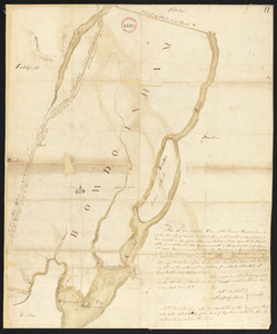
Plan of Bowdoin made by James Shurtleff dated 1794-5.
8862.
Plan of Bowdoinham made by Ephraim Ballard and Sylverster J. Moore, dated April, 1795.
8863.
Plan of Boxborough made by Hoar and Foster, dated September 1, 1831
8864.
Plan of Boxborough made by Silas Holman, dated November, 1794.
8865.
Plan of Boxford made by Moses Dorman, Jr. dated 1830
8866.
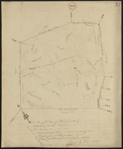
Plan of Boxford surveyor's name not given dated June 16, 1795.
8867.
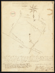
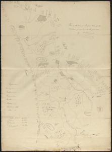
Plan of Boylston made by Aaron Sawyer, Jr. dated May, 1795.
8868.
Plan of Boylston made by G. Smith dated 1830
8869.
Plan of Bradford Estate, Roslindale, Ward 23, Boston
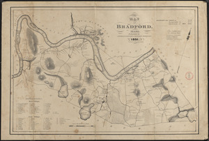
8870.
Plan of Bradford made by Benjamin Greenleaf and Jeremiah Spofford, dated 1831
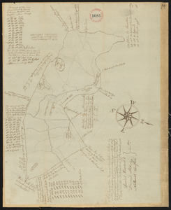
8871.
Plan of Bradford, surveyor's name not given, dated December 2, 1794.
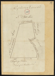
8872.
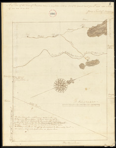
Plan of Bradley's and Eastman's Land (Stow, Me) surveyor's name not given, dated 1794-1795.
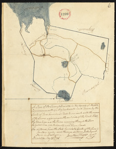
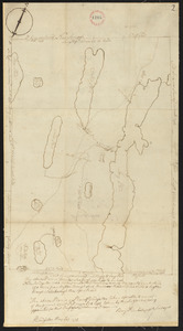
8873.
Plan of Braintree made by Jonathan Thayer, dated May 25, 1795.
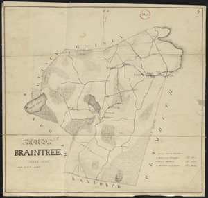
8874.
Plan of Braintree, surveyor's name not given, dated 1831
8875.
Plan of Bridgeton surveyed by Benjamin Kimball, Jr, dated May 21, 1795.
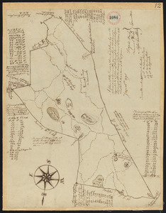
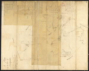
8876.
Plan of Bridgewater, surveyor's name not given, dated 1794.
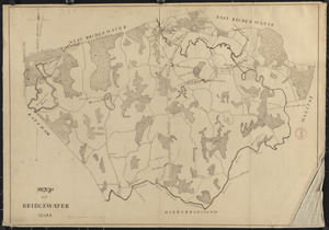
8877.
Plan of Bridgewater, surveyor's name not given, dated 1830
8878.
Plan of Briggs Place, in Newton
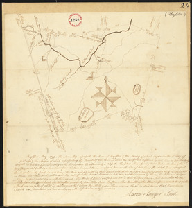
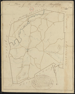
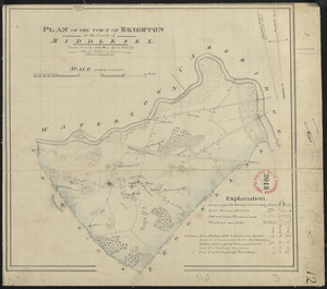
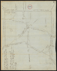
8879.
Plan of Brighton made by John G. Hales, dated April 1830
8880.
Plan of Brimfield, made by Jonas Blodgett, dated December 22, 1794.
‹ Prev
Next ›
1
2
…
440
441
442
443
444
445
446
447
448
…
684
685