Toggle navigation
LMEC Home
Exhibitions
Georeferencing
Tools for Teachers
Collections
My Favorites
Sign Up / Log In
Search
Search the map portal
Map Collection
Map Collection
Map Sets
Search
Search
Search for
Search In
All Fields
Creator
Title
Subject
Place
Search All Digital Collections
Advanced Search
13680 Results
My Search
Start Over
Date facet yearly ssim
2000
to
2019
Remove constraint Date facet yearly ssim: <span class='from'>2000</span> to <span class='to'>2019</span>
Filter your Search
Place
North and Central America
10,344
United States
8,475
Massachusetts
2,789
Suffolk (county)
1,677
Boston
1,633
Europe
1,415
Canada
950
New York
649
more
Place
»
Topic
Boston (Mass.)--Maps
747
City planning--Massachusetts--Boston--Maps
418
United States--History--Revolution, 1775-1783--Maps
329
United States--Maps
322
Real property--Massachusetts--Boston--Maps
254
Urban renewal--Massachusetts--Boston--Maps
254
Massachusetts--Maps
231
Insurance surveys
197
more
Topic
»
Date
Date range begin
–
Date range end
Current results range from
1482
to
2023
View distribution
Creator
United States. Hydrographic Office
597
Boston Redevelopment Authority
404
Des Barres, Joseph F. W. (Joseph Frederick Wallet), 1722-1824
247
Royal United Services Institute for Defence and Security Studies
160
Jefferys, Thomas, -1771
154
George, III, King of Great Britain, 1738-1820
152
George, IV, King of Great Britain, 1762-1830
151
O.H. Bailey & Co
148
more
Creator
»
Format
Maps/Atlases
13,499
Manuscripts
985
Prints
102
Books
49
Drawings/Illustrations
44
Photographs
15
Objects/Artifacts
13
Documents
7
more
Format
»
Georeferenced
Yes
979
No
12,701
Collection
Norman B. Leventhal Map & Education Center Collection
9,096
American Revolutionary War-Era Maps
3,305
Boston and New England Maps
2,915
Urban Maps
2,471
Maritime Charts and Atlases
1,169
William L. Clements Library Collection
910
Library of Congress Collection
618
Boston Redevelopment Authority Collection
475
more
Collection
»
Available to use
No known restrictions
10,246
Creative Commons license
1,678
Search Constraints
Sort by relevance
relevance
title
date (asc)
date (desc)
Number of results to display per page
20 per page
10
per page
20
per page
50
per page
100
per page
View results as:
grid view
map view
Search Results
8841.
Plan of Boston showing existing ways and owners on December 25, 1645
8842.
Plan of Boston showing existing ways and owners on December 25, 1645
8843.
Plan of Boston surveyed by Osgood Carleton, dated 1795.
8844.
Plan of Boston, with additions and corrections
8845.
Plan of Boston, with additions and corrections
8846.
Plan of Boston, with additions and corrections
8847.
Plan of Boston with parts of the adjacent towns
8848.
Plan of Boston with parts of the adjacent towns
8849.
Plan of boundary line between the Commonwealth of Massachusetts and the State of Connecticut : as located defined and marked by...
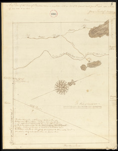
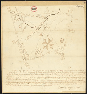
8850.
[Plan of boundary lines in Roxbury and the City of Boston]
8851.
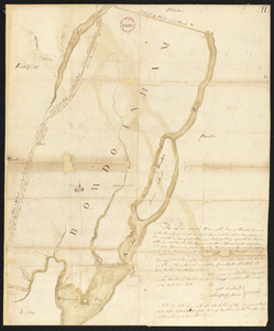
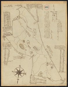
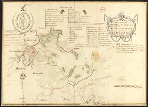
Plan of Bowdoin made by James Shurtleff dated 1794-5.
8852.
Plan of Bowdoinham made by Ephraim Ballard and Sylverster J. Moore, dated April, 1795.
8853.
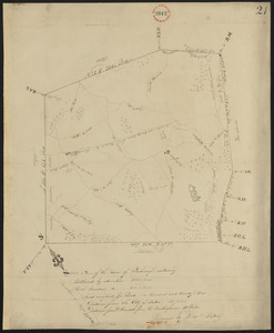
Plan of Boxborough made by Hoar and Foster, dated September 1, 1831
8854.
Plan of Boxborough made by Silas Holman, dated November, 1794.
8855.
Plan of Boxford made by Moses Dorman, Jr. dated 1830
8856.
Plan of Boxford surveyor's name not given dated June 16, 1795.
8857.
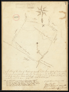
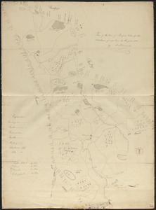
Plan of Boylston made by Aaron Sawyer, Jr. dated May, 1795.
8858.
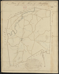
Plan of Boylston made by G. Smith dated 1830
8859.
Plan of Bradford Estate, Roslindale, Ward 23, Boston
8860.
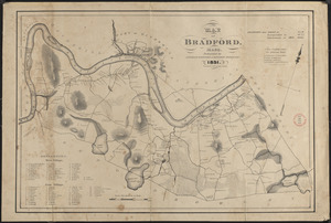
Plan of Bradford made by Benjamin Greenleaf and Jeremiah Spofford, dated 1831
‹ Prev
Next ›
1
2
…
439
440
441
442
443
444
445
446
447
…
683
684


![[Plan of boundary lines in Roxbury and the City of Boston]](https://bpldcassets.blob.core.windows.net/derivatives/images/commonwealth:1257bb127/image_thumbnail_300.jpg)