Toggle navigation
LMEC Home
Exhibitions
Georeferencing
Tools for Teachers
Collections
My Favorites
Sign Up / Log In
Search
Search the map portal
Map Collection
Map Collection
Map Sets
Search
Search
Search for
Search In
All Fields
Creator
Title
Subject
Place
Search All Digital Collections
Advanced Search
13385 Results
My Search
Start Over
Date facet yearly ssim
1800
to
1849
Remove constraint Date facet yearly ssim: <span class='from'>1800</span> to <span class='to'>1849</span>
Filter your Search
Place
North and Central America
10,111
United States
8,249
Massachusetts
2,691
Suffolk (county)
1,664
Boston
1,621
Europe
1,386
Canada
949
New York
640
more
Place
»
Topic
Boston (Mass.)--Maps
741
City planning--Massachusetts--Boston--Maps
418
United States--History--Revolution, 1775-1783--Maps
329
United States--Maps
315
Urban renewal--Massachusetts--Boston--Maps
254
Real property--Massachusetts--Boston--Maps
252
Massachusetts--Maps
219
Insurance surveys
197
more
Topic
»
Date
Date range begin
–
Date range end
Current results range from
1482
to
2023
View distribution
Creator
United States. Hydrographic Office
595
Boston Redevelopment Authority
403
Des Barres, Joseph F. W. (Joseph Frederick Wallet), 1722-1824
247
Royal United Services Institute for Defence and Security Studies
160
Jefferys, Thomas, -1771
154
George, III, King of Great Britain, 1738-1820
152
George, IV, King of Great Britain, 1762-1830
151
O.H. Bailey & Co
148
more
Creator
»
Format
Maps/Atlases
13,205
Manuscripts
985
Prints
102
Books
49
Drawings/Illustrations
44
Photographs
15
Objects/Artifacts
13
Documents
7
more
Format
»
Georeferenced
Yes
979
No
12,406
Collection
Norman B. Leventhal Map & Education Center Collection
8,891
American Revolutionary War-Era Maps
3,305
Boston and New England Maps
2,804
Urban Maps
2,397
Maritime Charts and Atlases
1,150
William L. Clements Library Collection
910
Library of Congress Collection
618
Boston Redevelopment Authority Collection
475
more
Collection
»
Available to use
No known restrictions
9,952
Creative Commons license
1,677
Search Constraints
Sort by relevance
relevance
title
date (asc)
date (desc)
Number of results to display per page
20 per page
10
per page
20
per page
50
per page
100
per page
View results as:
grid view
map view
Search Results
8701.
Plan of Charleston and its defenses 1780
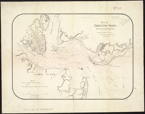
8702.
Plan of Charleston Harbor, and its fortifications
8703.
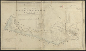
Plan of Charlestown
8704.
Plan of Charlestown
8705.
Plan of Charlestown 1781
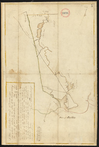
8706.
Plan of Charlestown made by John G. Hales, dated August 1830
8707.
Plan of Charlestown, made by Samuel Thompson, dated December, 1794.
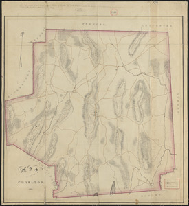
8708.
Plan of Charlestown peninsula in the state of Massachusetts
8709.
Plan of Charlton made by Barlow Freeman, dated 1831
8710.
Plan of Charlton surveyor's name not given, dated May 22, 1795.
8711.
Plan of Chatham, surveyor's name not given, dated 1831
8712.
Plan of Chatham, surveyor's name not given, dated May 22, 1795.
8713.
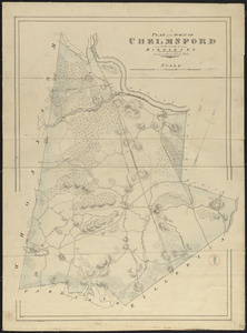
Plan of Chelmsford made by John G. Hales, dated 1831
8714.
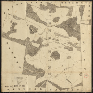
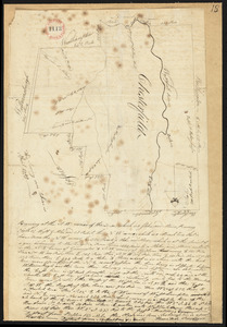
Plan of Cheshire, surveyor's name not given, dated 1830
8715.
Plan of Cheshire, surveyor's name not given, dated May 22, 1795.
8716.
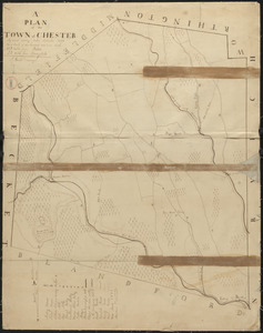
Plan of Chester made by J. Gould, dated September 1831
8717.
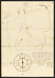
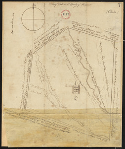
Plan of Chester surveyor's name not given, dated October 8, 1794.
8718.
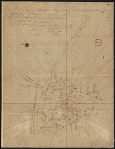
Plan of Chesterfield, surveyor's name not given, dated 1830
8719.
Plan of Chesterfield, surveyor's name not given, dated April, 1795.
8720.
Plan of Chestnut Hill, in Brookline & Newton : August 1856
‹ Prev
Next ›
1
2
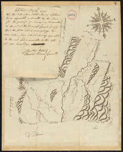
…
432
433
434
435
436
437
438
439
440
…
669
670