Toggle navigation
LMEC Home
Exhibitions
Georeferencing
Tools for Teachers
Collections
My Favorites
Sign Up / Log In
Search
Search the map portal
Map Collection
Map Collection
Map Sets
Search
Search
Search for
Search In
All Fields
Creator
Title
Subject
Place
Search All Digital Collections
Advanced Search
13385 Results
Filter your Search
Place
North and Central America
9,353
United States
7,286
Suffolk (county)
1,664
Boston
1,621
Europe
1,035
Canada
949
Massachusetts
875
New York
534
more
Place
»
Topic
Boston (Mass.)--Maps
741
City planning--Massachusetts--Boston--Maps
418
United States--History--Revolution, 1775-1783--Maps
329
United States--Maps
315
Urban renewal--Massachusetts--Boston--Maps
254
Real property--Massachusetts--Boston--Maps
252
Massachusetts--Maps
219
Insurance surveys
197
more
Topic
»
Date
Date range begin
–
Date range end
Current results range from
1482
to
2023
View distribution
Creator
United States. Hydrographic Office
595
Boston Redevelopment Authority
403
Des Barres, Joseph F. W. (Joseph Frederick Wallet), 1722-1824
247
Royal United Services Institute for Defence and Security Studies
160
Jefferys, Thomas, -1771
154
George, III, King of Great Britain, 1738-1820
152
George, IV, King of Great Britain, 1762-1830
151
O.H. Bailey & Co
148
more
Creator
»
Format
Maps/Atlases
13,205
Manuscripts
985
Prints
102
Books
49
Drawings/Illustrations
44
Photographs
15
Objects/Artifacts
13
Documents
7
more
Format
»
Georeferenced
Yes
979
No
12,406
Collection
Norman B. Leventhal Map Center Collection
8,891
American Revolutionary War-Era Maps
3,305
Boston and New England Maps
2,804
Urban Maps
2,397
Maritime Charts and Atlases
1,150
William L. Clements Library Collection
910
Library of Congress Collection
618
Boston Redevelopment Authority Collection
475
more
Collection
»
Available to use
No known restrictions
9,952
Creative Commons license
1,677
Search Constraints
Sort by date (desc)
relevance
title
date (asc)
date (desc)
Number of results to display per page
20 per page
10
per page
20
per page
50
per page
100
per page
View results as:
grid view
map view
Search Results
8441.
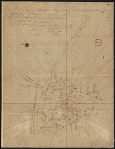
Plan of Buxton, surveyor's name not given, dated June 10, 1795.
8442.
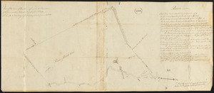
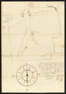
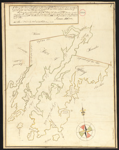
Plan of Cambridge, made by Samuel Thompson, dated April, 1795.
8443.
Plan of Camden, surveyor's name not given, dated May 1795.
8444.
Plan of Canaan surveyed by Samuel Weston, dated May 20, 1795.
8445.
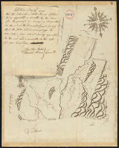
Plan of Charlton surveyor's name not given, dated May 22, 1795.
8446.
Plan of Chatham, surveyor's name not given, dated May 22, 1795.
8447.
Plan of Cheshire, surveyor's name not given, dated May 22, 1795.
8448.
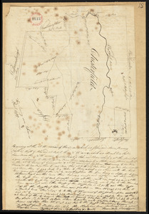
Plan of Chesterfield, surveyor's name not given, dated April, 1795.
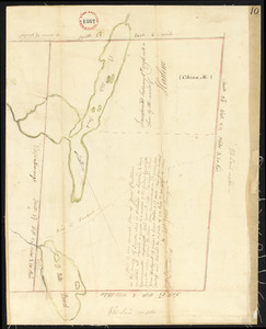
8449.
Plan of China (Harlem), Me, surveyor's name not given, dated December 9, 1795.
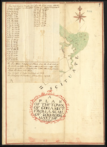
8450.
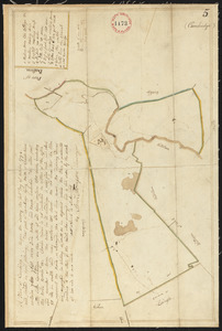
Plan of Cohasset, surveyor's name not given, dated May 30, 1795.
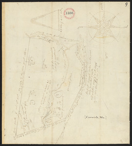
8451.
Plan of Cornish, made by John Wingate, dated May 1, 1795.
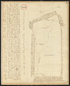
8452.
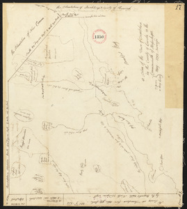
Plan of Cummington, made by Adam Packard, dated May 15, 1795.
8453.
Plan of Cushing surveyed by James Malcolm, dated April 16, 1795.
8454.
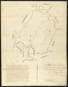
Plan of Danvers surveyed by Gideon Foster, dated May, 1795.
8455.
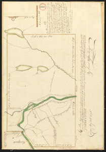
Plan of Dartmouth, made by Zedock Maxfeld, dated May, 1795.
8456.
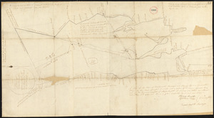
Plan of Dedham, made by Elijah Pond, dated 1795.
8457.
Plan of Deer Island (Isle au Haut), made by John Peters, Jr., dated May 21. 1795.
8458.
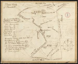
Plan of Dennis surveyed by Elisha Barrett, dated May, 1795.
8459.
Plan of Dresden (West part of Pownalboro) surveyed by Benjamin Poor, dated May 21, 1795.
8460.
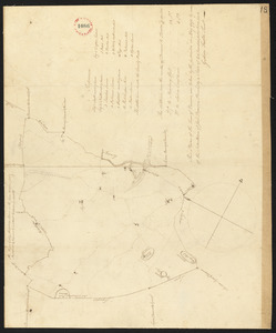
Plan of Dudley surveyed by John Chamberlin dated March 17, 1795.
‹ Prev
Next ›
1
2
…
419
420
421
422
423
424
425
426
427
…
669
670