Toggle navigation
LMEC Home
Exhibitions
Georeferencing
Tools for Teachers
Collections
My Favorites
Sign Up / Log In
Search
Search the map portal
Map Collection
Map Collection
Map Sets
Search
Search
Search for
Search In
All Fields
Creator
Title
Subject
Place
Search All Digital Collections
Advanced Search
2261 Results
My Search
Start Over
london
Remove constraint london
Filter your Search
Place
North and Central America
1,479
United States
921
Europe
363
Canada
347
North America
194
New York
128
Massachusetts
111
New England
104
more
Place
»
Topic
North America--Maps--Early works to 1800
137
Coasts--Nova Scotia--Maps
64
New England--Maps--Early works to 1800
57
United States--History--French and Indian War, 1754-1763--Maps
57
United States--History--French and Indian War, 1754-1763--Maps, Manuscript--Early works to 1800
56
United States--Maps--Early works to 1800
54
United States--History--Revolution, 1775-1783--Maps
40
Nova Scotia--Maps--Early works to 1800
39
more
Topic
»
Date
Date range begin
–
Date range end
Current results range from
1624
to
1999
View distribution
Creator
Des Barres, Joseph F. W. (Joseph Frederick Wallet), 1722-1824
242
Jefferys, Thomas, -1771
167
George, III, King of Great Britain, 1738-1820
149
George, IV, King of Great Britain, 1762-1830
148
Sayer, Robert, 1725-1794
115
Faden, William, 1749-1836
109
Moll, Herman, d. 1732
72
Robert Sayer and John Bennett (Firm)
57
more
Creator
»
Format
Maps/Atlases
2,219
Manuscripts
161
Prints
23
Drawings/Illustrations
15
Books
4
Objects/Artifacts
1
Georeferenced
Yes
137
No
2,124
Collection
American Revolutionary War-Era Maps
1,355
Norman B. Leventhal Map & Education Center Collection
1,305
Maritime Charts and Atlases
263
British Library Collection
163
William L. Clements Library Collection
160
Boston and New England Maps
152
Richard H. Brown Revolutionary War Map Collection at Mount Vernon
146
MacLean Collection Map Library
140
more
Collection
»
Available to use
No known restrictions
1,271
Creative Commons license
569
Search Constraints
Sort by relevance
relevance
title
date (asc)
date (desc)
Number of results to display per page
20 per page
10
per page
20
per page
50
per page
100
per page
View results as:
grid view
map view
Search Results
681.
A map of New England, New York, New Jersey and Pensilvania
682.
A map of the American Indian nations, adjoining to the Missisippi, west & east Florida, Georgia, S. & N. Carolina, Virginia, &c.
683.
A map of the country of the Five Nations, belonging to the province of New York; and of the lakes near which the nations of far...
684.
A new and correct chart of the sea coast of New-England from Cape Codd to Casco Bay
685.
A new chart of the seas surrounding the island of Cuba, with the soundings, currents, ships, courses &c. and a map of the...
686.
New Hampshire, Vermont, &c
687.
A new map of the Brittish Isles shewing their present genl. divisions, cities, and such other towns, or places, as answer to...
688.
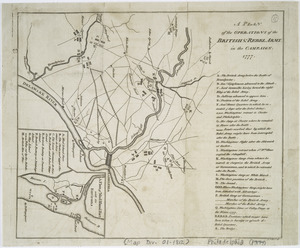
A plan of the operations of the British & Rebel army in the Campaign, 1777
689.
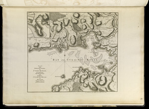
Plan of the town and citadel of Fort Royal, the capital of Martinico : with the Bay of Cul de Sac Royal
690.
Port Amherst ... : Port Haldimand
691.
St. Christophers
692.
[St. Peter's Bay, on the south shore of Cape Breton Island]
693.
[The south east coast of the island of St. John]
694.
An accurate map of Europe from the best authorities
695.
China, divided into it's great provinces according to the best authorities
696.
Georgia, from the latest authorities
697.
Kentucky, reduced from Elihu Barker's large map
698.
Map ninth division railway mail service
699.
Massachusetts
700.
The province of Maine, from the best authorities
‹ Prev
Next ›
1
2
…
31
32
33
34
35
36
37
38
39
…
113
114


![[St. Peter's Bay, on the south shore of Cape Breton Island]](https://bpldcassets.blob.core.windows.net/derivatives/images/commonwealth:ws859h094/image_thumbnail_300.jpg)
![[The south east coast of the island of St. John]](https://bpldcassets.blob.core.windows.net/derivatives/images/commonwealth:7h149v93n/image_thumbnail_300.jpg)


