Toggle navigation
LMEC Home
Exhibitions
Georeferencing
Tools for Teachers
Collections
My Favorites
Sign Up / Log In
Search
Search the map portal
Map Collection
Map Collection
Map Sets
Search
Search
Search for
Search In
All Fields
Creator
Title
Subject
Place
Search All Digital Collections
Advanced Search
245 Results
My Search
Start Over
Date
1905
to
1909
Remove constraint Date: <span class='from'>1905</span> to <span class='to'>1909</span>
Filter your Search
Place
North and Central America
196
United States
178
Massachusetts
77
Suffolk (county)
35
Boston
34
Essex (county)
15
Canada
14
Norfolk (county)
14
more
Place
»
Topic
Boston (Mass.)--Maps
17
Massachusetts--Maps
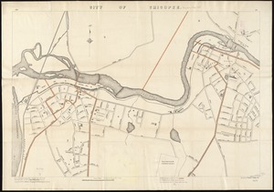
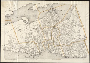
9
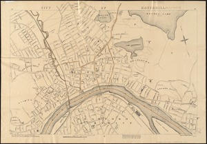
United States--Maps
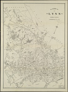
9
Gold mines and mining--Nova Scotia--Maps
8
Real property--Massachusetts--Boston--Maps
8
Landowners--Massachusetts--Boston--Maps
7
Fire risk assessment
6
Insurance surveys
6
more
Topic
»
Date
1905
to
1909
[remove]
245
Date range begin
–
Date range end
Current results range from
1770
to
1999
1905
to
1905
85
1906
to
1906
85
1907
to
1907
72
1908
to
1908
70
1909
to
1909
68
Creator
Fisk, E. F.
14
Walker Lith. & Pub. Co
13
International Correspondence Schools
12
International Textbook Company
12
Geo. H. Walker & Co.
10
Bromley, George Washington
9
Bromley, Walter Scott
9
Geological Survey of Canada
9
more
Creator
»
Format
Maps/Atlases
241
Photographs
3
Prints
2
Books
1
Manuscripts
1
Objects/Artifacts
1
Georeferenced
Yes
31
No
214
Collection
Norman B. Leventhal Map & Education Center Collection
218
Boston and New England Maps
33
Urban Maps
21
Massachusetts Real Estate Atlases
15
American Textile History Museum Image Collection
6
Maritime Charts and Atlases
6
Mapping Boston Collection
4
Robert E. Diefenbach Map Collection at Phillips Academy
4
more
Collection
»
Available to use
No known restrictions
219
Creative Commons license
4
Search Constraints
Sort by relevance
relevance
title
date (asc)
date (desc)
Number of results to display per page
20 per page
10
per page
20
per page
50
per page
100
per page
View results as:
grid view
map view
Search Results
41.
Boston I
42.
Boston II
43.
Boy Peddling Notions, Downtown Boston
44.
Brazil : from official and other sources
45.
Brésil : carte politique et économique
46.
Buzzards Bay
47.
Buzzards Bay, Mass
48.
Carte de voies de communication du Brésil
49.
Carte scolaire de la Suisse
50.
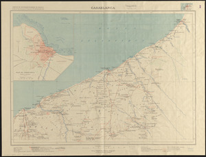
Casablanca
51.
Central part of Boston Elevated Railway system showing connections
52.
A chart of the gulf stream
53.
[Chiapas]
54.
City of Brockton
55.
City of Butte : indexed map showing Butte and vicinity with location of mines, schools, public buildings, streets, etc
56.
City of Chicopee
57.
City of Fall River
58.
City of Haverhill, Massachusetts
59.
City of Lynn, Mass
60.
City of Marlborough
‹ Prev
Next ›
1
2
3
4
5
6
7
…
12
13


![[Chiapas]](https://bpldcassets.blob.core.windows.net/derivatives/images/commonwealth:4m90fj278/image_thumbnail_300.jpg)