Toggle navigation
LMEC Home
Exhibitions
Georeferencing
Tools for Teachers
Collections
My Favorites
Sign Up / Log In
Search
Search the map portal
Map Collection
Map Collection
Map Sets
Search
Search
Search for
Search In
All Fields
Creator
Title
Subject
Place
Search All Digital Collections
Advanced Search
51 Results
My Search
Start Over
1935
Remove constraint 1935
Filter your Search
Place
North and Central America
24
United States
24
Asia
16
China
11
Europe
7
Massachusetts
7
Essex (county)
4
Philippines
3
more
Place
»
Topic
China--Historical geography--Maps
6
United States--Maps
4
Fire risk assessment
3
Insurance surveys
3
Philippines--Maps
3
Telegraph lines--Philippines--Maps
3
Algonquian Indians--Massachusetts--Ipswich--Antiquities--Maps
2
Cables, Submarine--Philippines--Maps
2
more
Topic
»
Date
Date range begin
–
Date range end
Current results range from
1830
to
1966
View distribution
Creator
Herrmann, Albert, 1886-1945
11
Chase, Ernest Dudley, 1878-1966
7
Greely, A. W. (Adolphus Washington), 1844-1935
3
LeBaron, John Francis, 1865-1935
3
United States. Army. Signal Corps
3
Associated Factory Mutual Fire Insurance Companies
2
Bache, A. D. (Alexander Dallas), 1806-1867
2
U.S. Coast and Geodetic Survey
2
more
Creator
»
Format
Maps/Atlases
51
Georeferenced
Yes
5
No
46
Collection
Norman B. Leventhal Map & Education Center Collection
45
Urban Maps
14
Boston and New England Maps
9
American Textile History Museum Image Collection
3
Lucius Beebe Memorial Library Historic Maps
2
David Judkins Weaver Papers
1
Town plans, 1830
1
Available to use
No known restrictions
34
Creative Commons license
2
Search Constraints
Sort by relevance
relevance
title
date (asc)
date (desc)
Number of results to display per page
20 per page
10
per page
20
per page
50
per page
100
per page
View results as:
grid view
map view
Search Results
41.
The United States of America
42.
Van Loon's map of the United States : enlivened by thumbnail sketches of American history
43.
Philips Radio
44.
Transportation map of Manchoukuo
45.
Wallowa National Forest, Oregon
46.
Atlas town of Wellesley
47.
The country of So red the rose, by Stark Young, Scribners
48.
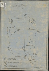
Map of old Reading, Massachusetts Bay Colony, 1651
49.
This map presents a Bostonian's idea of the United States of America
50.
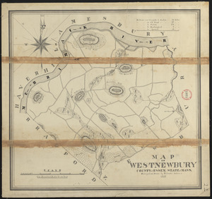
Plan of West Newbury made by Philander Anderson, dated 1830
51.
Boston, Massachusetts
‹ Prev
Next ›
1
2
3