Toggle navigation
LMEC Home
Exhibitions
Georeferencing
Tools for Teachers
Collections
My Favorites
Sign Up / Log In
Search
Search the map portal
Map Collection
Map Collection
Map Sets
Search
Search
Search for
Search In
All Fields
Creator
Title
Subject
Place
Search All Digital Collections
Advanced Search
60 Results
My Search
Start Over
1912
Remove constraint 1912
Filter your Search
Place
North and Central America
48
United States
39
Massachusetts
13
Boston
9
Suffolk (county)
9
Essex (county)
5
Asia
4
Canada
4
more
Place
»
Topic
Landowners--Massachusetts--Boston--Maps
5
Real property--Massachusetts--Boston--Maps
5
Boston (Mass.)--Maps
4
Fire risk assessment
3
Insurance surveys
3
Textile factories
3
Buildings--Massachusetts--Boston--Maps
2
China--Maps
2
more
Topic
»
Date
Date range begin
–
Date range end
Current results range from
1756
to
2022
View distribution
Creator
Geological Survey (U.S.)
6
Bromley, George Washington
5
Bromley, Walter Scott
5
Gray, O. W. (Ormando Wyllis), 1829-1912
4
Argentina. Ejército. Estado Mayor General
3
Associated Mutual Insurance Companies
3
Bartholomew, J. G. (John George), 1860-1920
3
G.W. Bromley & Co.
3
more
Creator
»
Format
Maps/Atlases
60
Books
1
Manuscripts
1
Georeferenced
Yes
9
No
51
Collection
Norman B. Leventhal Map & Education Center Collection
48
Boston and New England Maps
11
Urban Maps
8
Massachusetts Real Estate Atlases
6
American Textile History Museum Image Collection
3
American Revolutionary War-Era Maps
1
British Library Collection
1
Campus Maps from Phillips Academy Archives and Special Collections
1
more
Collection
»
Available to use
No known restrictions
46
Creative Commons license
2
Search Constraints
Sort by relevance
relevance
title
date (asc)
date (desc)
Number of results to display per page
20 per page
10
per page
20
per page
50
per page
100
per page
View results as:
grid view
map view
Search Results
41.
International map of the world on the scale 1:1,000,000
42.
Map of Charleston, S.C
43.
Map of southeastern portion of United States showing the location of battles in the Civil War 1861-1865
44.
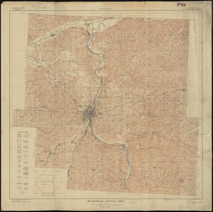
Muskingum County, Ohio
45.
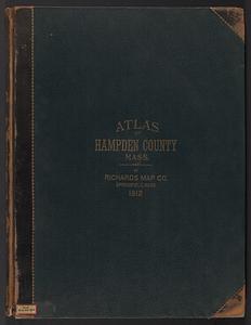
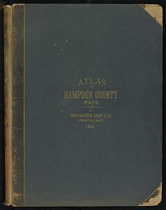
Richards standard atlas of Hampden County, Massachusetts : based upon, and carefully compiled from, the official plans, surveys...
46.
Summer resorts of the coast, lake, and mountain regions along the Boston & Maine Railroad and connections
47.
Topography of Jefferson County, Kentucky : from U.S. Geological Survey topographic atlas sheets surveyed in 1904-1910
48.
Atlas of the city of Boston : Charlestown and East Boston : from actual surveys and official plans
49.
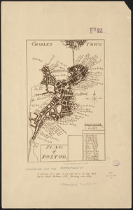
Plan of Boston
50.
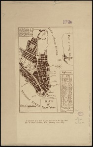
Plan of New York
51.
Atlas of the city of Boston : ward 26 Hyde Park
52.
Atlas of the city of Boston : Boston proper and Back Bay
53.
Atlas of the city of Boston : ward 26, Hyde Park : from actual surveys and official plans
54.
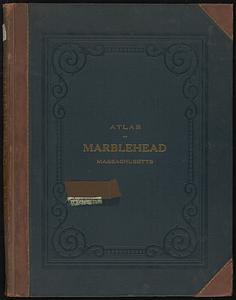
Atlas of the town of Marblehead, Massachusetts : based on plans in the office of the Board of Assessors
55.
Cuatreros
56.
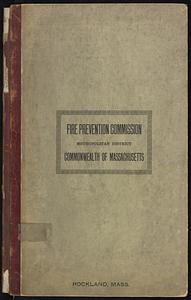
Insurance maps of Rockland, including Hanover, Plymouth County, Massachusetts
57.
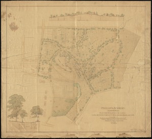
Phillips Academy, Andover, Mass. : plan for development of lands lying between Bartlett, Morton and Highland Sts.
58.
Richards standard atlas of Hampden County, Massachusetts
59.
Canobie Lake Park, Salem N.H.
60.
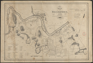
Plan of Bradford made by Benjamin Greenleaf and Jeremiah Spofford, dated 1831
‹ Prev
Next ›
1
2
3