Toggle navigation
LMEC Home
Exhibitions
Georeferencing
Tools for Teachers
Collections
My Favorites
Sign Up / Log In
Search
Search the map portal
Map Collection
Map Collection
Map Sets
Search
Search
Search for
Search In
All Fields
Creator
Title
Subject
Place
Search All Digital Collections
Advanced Search
14164 Results
Filter your Search
Place
North and Central America
10,811
United States
8,818
Massachusetts
2,820
Suffolk (county)
1,688
Boston
1,644
Europe
1,428
Canada
1,010
New York
683
more
Place
»
Topic
Boston (Mass.)--Maps
753
City planning--Massachusetts--Boston--Maps
419
United States--History--Revolution, 1775-1783--Maps
331
United States--Maps
331
Real property--Massachusetts--Boston--Maps
254
Urban renewal--Massachusetts--Boston--Maps
254
North America--Maps--Early works to 1800
241
Massachusetts--Maps
236
more
Topic
»
Date
Date range begin
–
Date range end
Current results range from
1482
to
2023
View distribution
Creator
United States. Hydrographic Office
597
Boston Redevelopment Authority
404
Des Barres, Joseph F. W. (Joseph Frederick Wallet), 1722-1824
247
Jefferys, Thomas, -1771
172
United States. National Ocean Service
170
Royal United Services Institute for Defence and Security Studies
160
George, III, King of Great Britain, 1738-1820
152
George, IV, King of Great Britain, 1762-1830
151
more
Creator
»
Format
Maps/Atlases
13,978
Manuscripts
985
Prints
102
Books
53
Drawings/Illustrations
44
Photographs
15
Objects/Artifacts
13
Documents
7
more
Format
»
Georeferenced
Yes
979
No
13,185
Collection
Norman B. Leventhal Map & Education Center Collection
9,162
American Revolutionary War-Era Maps
3,629
Boston and New England Maps
2,936
Urban Maps
2,511
Maritime Charts and Atlases
1,169
William L. Clements Library Collection
910
Library of Congress Collection
618
Boston Redevelopment Authority Collection
475
more
Collection
»
Available to use
No known restrictions
10,408
Creative Commons license
1,678
Search Constraints
Sort by relevance
relevance
title
date (asc)
date (desc)
Number of results to display per page
20 per page
10
per page
20
per page
50
per page
100
per page
View results as:
grid view
map view
Search Results
341.
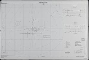
Airport obstruction chart OC 26, The William B. Hartsfield Atlanta International Airport, Georgia
342.
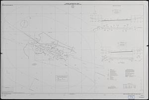
Airport obstruction chart OC 27, Bush Field, Augusta, Georgia
343.
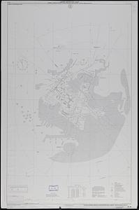
Airport obstruction chart OC 29, Augusta State Airport, Augusta, Maine
344.
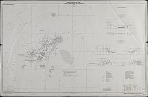
Airport obstruction chart OC 34, Jack McNamara Field, Crescent City, California
345.
Airport obstruction chart OC 34, Jack McNamara Field, Crescent City, California
346.
Airport obstruction chart OC 36, Meadows Field, Bakersfield, California
347.
Airport obstruction chart OC 39, Bangor International Airport, Bangor, Maine
348.
Airport obstruction chart OC 40, Baton Rouge Metropolitan, Ryan Field, Baton Rouge, Louisiana
349.
Airport obstruction chart OC 41, W.K. Kellogg Regional Airport, Battle Creek, Michigan
350.
Airport obstruction chart OC 48, Billings Logan International Airport, Billings, Montana
351.
Airport obstruction chart OC 48, Billings Logan International Airport, Billings, Montana
352.
Airport obstruction chart OC 51, Bismarck Municipal Airport, Bismarck, North Dakota
353.
Airport obstruction chart OC 51, Bismarck Municipal Airport, Bismarck, North Dakota
354.
Airport obstruction chart OC 53, Blythe Airport, Blythe, California
355.
Airport obstruction chart OC 57, Boise Air Terminal-Gowen Field, Boise, Idaho
356.
Airport obstruction chart OC 58, General Edward Lawrence Logan International Airport, Boston, Massachusetts
357.
Airport obstruction chart OC 6, Akron Fulton International Airport, Akron, Ohio
358.
Airport obstruction chart OC 65, Greater Buffalo International Airport, Buffalo, New York
359.
Airport obstruction chart OC 71, Cavern City Air Terminal, Carlsbad, New Mexico
360.
Airport obstruction chart OC 72, Natrona County International Airport, Casper, Wyoming
‹ Prev
Next ›
1
2
…
14
15
16
17
18
19
20
21
22
…
708
709