Toggle navigation
LMEC Home
Exhibitions
Georeferencing
Tools for Teachers
Collections
My Favorites
Sign Up / Log In
Search
Search the map portal
Map Collection
Map Collection
Map Sets
Search
Search
Search for
Search In
All Fields
Creator
Title
Subject
Place
Search All Digital Collections
Advanced Search
391 Results
My Search
Start Over
Date
1900
to
1904
Remove constraint Date: <span class='from'>1900</span> to <span class='to'>1904</span>
Filter your Search
Place
North and Central America
303
United States
247
Massachusetts
100
Boston
60
Suffolk (county)
60
Asia
38
Canada
26
New York
18
more
Place
»
Topic
Boston (Mass.)--Maps
41
Landowners--Massachusetts--Boston--Maps
26
Gold mines and mining--Nova Scotia--Maps
13
United States--Maps
10
Indian reservations--Oklahoma--Maps
9
Massachusetts--Maps
9
Geology--Nova Scotia--Halifax (County)--Maps
8
Halifax (N.S. : County)--Maps
8
more
Topic
»
Date
1900
to
1904
[remove]
391
Date range begin
–
Date range end
Current results range from
1770
to
1999
1900
to
1900
117
1901
to
1901
97
1902
to
1902
79
1903
to
1903
155
1904
to
1904
90
Creator
United States. Post Office Dept
34
Lamb, George
16
United States. War Department
16
Geological Survey of Canada
14
Geo. H. Walker & Co.
13
Geo. H. Walker & Co
11
Bromley, George Washington
10
Bromley, Walter Scott
10
more
Creator
»
Format
Maps/Atlases
386
Manuscripts
4
Prints
3
Books
2
Documents
1
Photographs
1
Posters
1
Georeferenced
Yes
53
No
338
Collection
Norman B. Leventhal Map & Education Center Collection
367
Urban Maps
41
Boston and New England Maps
37
Massachusetts Real Estate Atlases
9
Robert E. Diefenbach Map Collection at Phillips Academy
9
Maritime Charts and Atlases
3
Ralph Finos Map Collection at Phillips Academy
2
American Revolutionary War-Era Maps
1
more
Collection
»
Available to use
No known restrictions
378
Creative Commons license
1
Search Constraints
Sort by relevance
relevance
title
date (asc)
date (desc)
Number of results to display per page
20 per page
10
per page
20
per page
50
per page
100
per page
View results as:
grid view
map view
Search Results
261.
Plan of Boston showing existing ways and owners on December 25, 1634
262.
Plan of Boston showing existing ways and owners on December 25, 1635
263.
Plan of Boston showing existing ways and owners on December 25, 1635
264.
Plan of Boston showing existing ways and owners on December 25, 1636
265.
Plan of Boston showing existing ways and owners on December 25, 1637
266.
Plan of Boston showing existing ways and owners on December 25, 1638
267.
Plan of Boston showing existing ways and owners on December 25, 1639
268.
Plan of Boston showing existing ways and owners on December 25, 1640
269.
Plan of Boston showing existing ways and owners on December 25, 1640
270.
Plan of Boston showing existing ways and owners on December 25, 1641
271.
Plan of Boston showing existing ways and owners on December 25, 1642
272.
Plan of Boston showing existing ways and owners on December 25, 1643
273.
Plan of Boston showing existing ways and owners on December 25, 1644
274.
Plan of Boston showing existing ways and owners on December 25, 1645
275.
Plan of Boston showing existing ways and owners on December 25, 1645
276.
Plan of corner of Centry & Beacon St's -- 1741
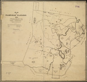
277.
Plan of Framingham Plantation 1699
278.
Plan of location of projected ship canal from Taunton River to Boston Harbor, through Weymouth Fore River ... Frank W. Hodgdon,...
279.
Plan of the burnt district : showing proposed improvements in streets. Nov. 12th 1872
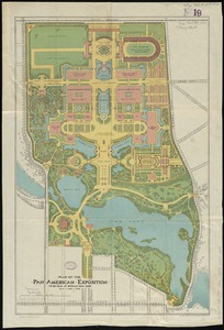
280.
Plan of the Pan-American Exposition to be held at Buffalo, New York, May 1-Nov 1, 1901
‹ Prev
Next ›
1
2
…
10
11
12
13
14
15
16
17
18
19
20