Toggle navigation
LMEC Home
Exhibitions
Georeferencing
Tools for Teachers
Collections
My Favorites
Sign Up / Log In
Search
Search the map portal
Map Collection
Map Collection
Map Sets
Search
Search
Search for
Search In
All Fields
Creator
Title
Subject
Place
Search All Digital Collections
Advanced Search
245 Results
My Search
Start Over
Date
1905
to
1909
Remove constraint Date: <span class='from'>1905</span> to <span class='to'>1909</span>
Filter your Search
Place
North and Central America
196
United States
178
Massachusetts
77
Suffolk (county)
35
Boston
34
Essex (county)
15
Canada
14
Norfolk (county)
14
more
Place
»
Topic
Boston (Mass.)--Maps
17
Massachusetts--Maps
9
United States--Maps
9
Gold mines and mining--Nova Scotia--Maps
8
Real property--Massachusetts--Boston--Maps
8
Landowners--Massachusetts--Boston--Maps
7
Fire risk assessment
6
Insurance surveys
6
more
Topic
»
Date
1905
to
1909
[remove]
245
Date range begin
–
Date range end
Current results range from
1770
to
1999
1905
to
1905
85
1906
to
1906
85
1907
to
1907
72
1908
to
1908
70
1909
to
1909
68
Creator
Fisk, E. F.
14
Walker Lith. & Pub. Co
13
International Correspondence Schools
12
International Textbook Company
12
Geo. H. Walker & Co.
10
Bromley, George Washington
9
Bromley, Walter Scott
9
Geological Survey of Canada
9
more
Creator
»
Format
Maps/Atlases
241
Photographs
3
Prints
2
Books
1
Manuscripts
1
Objects/Artifacts
1
Georeferenced
Yes
31
No
214
Collection
Norman B. Leventhal Map & Education Center Collection
218
Boston and New England Maps
33
Urban Maps
21
Massachusetts Real Estate Atlases
15
American Textile History Museum Image Collection
6
Maritime Charts and Atlases
6
Mapping Boston Collection
4
Robert E. Diefenbach Map Collection at Phillips Academy
4
more
Collection
»
Available to use
No known restrictions
219
Creative Commons license
4
Search Constraints
Sort by relevance
relevance
title
date (asc)
date (desc)
Number of results to display per page
20 per page
10
per page
20
per page
50
per page
100
per page
View results as:
grid view
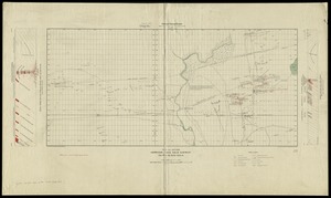
map view
Search Results
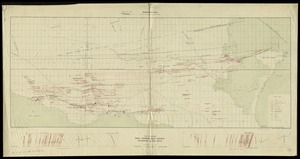
181.
Novi Belgii Novaeque Angliae nec non partis Virginiae tabula
182.
Otis Company, Cotton Mill, Ware, Mass. [insurance map]
183.
Outline map of Massachusetts showing senatorial districts as established by the General Court of 1906 with legal voters...
184.
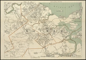
Part of the (Quincy) metropolitan district
185.
Path map of the eastern part of Mount Desert Island, Maine
186.
Path map of the eastern part of Mount Desert Island, Maine
187.
Plan and section, Leipsigate gold district, Lunenburg Co., Nova Scotia
188.
Plan and section, Salmon River gold district, Halifax Co., N.S
189.
Plan and sections, Brookfield gold district, Queens Co., Nova Scotia
190.
Plan and sections, Caribou gold district, Halifax Co., N.S
191.
Plan and sections Harrigan Cove gold district, Halifax Co., Nova Scotia
192.
Plan and sections Malaga gold district, Queens Co., Nova-Scotia
193.
Plan and sections Wine Harbour gold district, Guysborough Co., Nova Scotia
194.
Plan of boundary line between the Commonwealth of Massachusetts and the State of Connecticut : as located defined and marked by...
195.
Plan of corner of Centry & Beacon St's -- 1741
196.
Plan of properties at Galloupe's Point : Swampscott, Mass.
197.
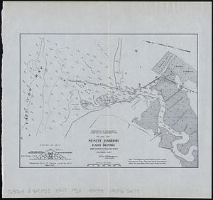
Plan of Sesuit Harbor in East Dennis : under chapter 32 resolves of 1907
198.
Plan of the Arnold Arboretum Jamaica Plain Mass
199.
Plan of the burnt district : showing proposed improvements in streets. Nov. 12th 1872
200.
Plan of the town of Boston
‹ Prev
Next ›
1
2
…
6
7
8
9
10
11
12
13
![Otis Company, Cotton Mill, Ware, Mass. [insurance map]](https://bpldcassets.blob.core.windows.net/derivatives/images/commonwealth:1544br35q/image_thumbnail_300.jpg)