Toggle navigation
LMEC Home
Exhibitions
Georeferencing
Tools for Teachers
Collections
My Favorites
Sign Up / Log In
Search
Search the map portal
Map Collection
Map Collection
Map Sets
Search
Search
Search for
Search In
All Fields
Creator
Title
Subject
Place
Search All Digital Collections
Advanced Search
67 Results
My Search
Start Over
Date
1928
Remove constraint Date: <span class='single'>1928</span>
Filter your Search
Place
North and Central America
51
United States
47
Massachusetts
13
Boston
12
Suffolk (county)
12
Asia
8
Japan
7
Tokyo
7
more
Place
»
Topic
Boston (Mass.)--Maps
6
Fire risk assessment
5
Insurance surveys
5
Tokyo (Japan)--Maps
5
Textile factories
4
Cotton manufacture
3
Landowners--Massachusetts--Boston--Maps
3
New England--Maps--Early works to 1800--Facsimiles
3
more
Topic
»
Date
1928
[remove]
67
Date range begin
–
Date range end
Current results range from
1770
to
1999
1928
to
1928
67
Creator
Associated Factory Mutual Fire Insurance Companies
4
Geological Survey (U.S.)
4
United States. Forest Service
4
Mehurin, E. L.
3
American Geographical Society of New York
2
Chisholm, Ivan A.
2
Fagan, James O. (James Octavius), 1859-
2
G.W. Bromley & Co.
2
more
Creator
»
Format
Maps/Atlases
66
Photographs
1
Georeferenced
Yes
2
No
65
Collection
Norman B. Leventhal Map & Education Center Collection
57
Boston and New England Maps
9
American Textile History Museum Image Collection
5
Urban Maps
5
Massachusetts Real Estate Atlases
2
American Revolutionary War-Era Maps
1
Campus Maps from Phillips Academy Archives and Special Collections
1
Robert E. Diefenbach Map Collection at Phillips Academy
1
more
Collection
»
Available to use
No known restrictions
57
Creative Commons license
1
Search Constraints
Sort by relevance
relevance
title
date (asc)
date (desc)
Number of results to display per page
20 per page
10
per page
20
per page
50
per page
100
per page
View results as:
grid view
map view
Search Results
1.
Atlas of the city of Boston : Boston proper and Back Bay
2.
Atlas of the city of Boston : Boston proper and Back Bay : from actual surveys and official plans
3.
Aviation map of United States : featuring landing fields, improved, unimproved
4.
Caribou National Forest, Idaho
5.
Caucasus, Central Asia and Turkey
6.
A chart of the gulf stream
7.
Dartmouth Manufacturing Corporation (Cotton Mill), New Bedford, Mass.
8.
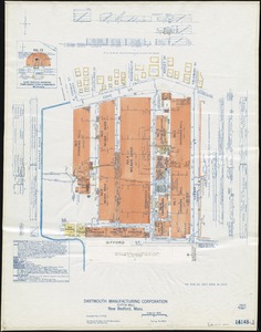
Dartmouth Manufacturing Corporation (Cotton Mill), New Bedford, Mass. [insurance map]
9.
Density of population in greater Tokyo - census of 1926
10.
District within fire limit of Tokyo - 1928
11.
A draught of St. John's harbour : with the soundings
12.
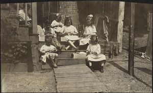
Family of Mrs. Donovan, Roxbury
13.
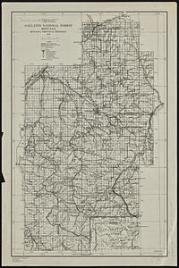
Gallatin National Forest, Montana
14.
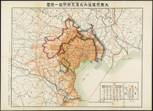
Gas and water-supply in greater Tokyo - 1928
15.
George Washington's map, accompanying his "journal to the Ohio", 1754
16.
Ireland
17.
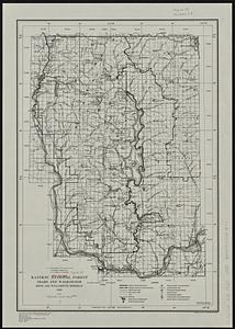
Kaniksu National Forest, Idaho and Washington
18.
Lemhi National Forest, Idaho
19.
Lolo National Forest, Montana
20.
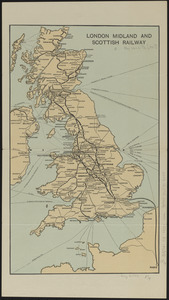
London Midland and Scottish Railway
‹ Prev
Next ›
1
2
3
4


![Dartmouth Manufacturing Corporation (Cotton Mill), New Bedford, Mass. [insurance map]](https://bpldcassets.blob.core.windows.net/derivatives/images/commonwealth:9880vx024/image_thumbnail_300.jpg)