Toggle navigation
LMEC Home
Exhibitions
Georeferencing
Tools for Teachers
Collections
My Favorites
Sign Up / Log In
Search
Search the map portal
Map Collection
Map Collection
Map Sets
Search
Search
Search for
Search In
All Fields
Creator
Title
Subject
Place
Search All Digital Collections
Advanced Search
190 Results
My Search
Start Over
Date
1925
to
1929
Remove constraint Date: <span class='from'>1925</span> to <span class='to'>1929</span>
Filter your Search
Place
North and Central America
163
United States
158
Massachusetts
49
Boston
32
Suffolk (county)
32
Asia
11
Bristol (county)
11
Europe
8
more
Place
»
Topic
Fire risk assessment
23
Insurance surveys
23
Textile factories
19
Boston (Mass.)--Maps
17
Cotton manufacture
9
Pictorial maps
6
Tokyo (Japan)--Maps
5
Landowners--Massachusetts--Boston--Maps
4
more
Topic
»
Date
1925
to
1929
[remove]
190
Date range begin
–
Date range end
Current results range from
1770
to
1999
1925
to
1925
57
1926
to
1926
55
1927
to
1927
56
1928
to
1928
67
1929
to
1929
38
Creator
Geological Survey (U.S.)
23
Associated Factory Mutual Fire Insurance Companies
12
Associated Mutual Insurance Companies
8
United States. Forest Service
7
Boston (Mass.). Department of Parks
6
Good, L. S.
5
Mehurin, E. L.
5
American Geographical Society of New York
4
more
Creator
»
Format
Maps/Atlases
189
Objects/Artifacts
1
Photographs
1
Georeferenced
Yes
6
No
184
Collection
Norman B. Leventhal Map & Education Center Collection
160
Boston and New England Maps
40
American Textile History Museum Image Collection
23
Urban Maps
21
Massachusetts Real Estate Atlases
4
David Judkins Weaver Papers
3
American Revolutionary War-Era Maps
1
Campus Maps from Phillips Academy Archives and Special Collections
1
more
Collection
»
Available to use
No known restrictions
157
Creative Commons license
4
Search Constraints
Sort by relevance
relevance
title
date (asc)
date (desc)
Number of results to display per page
20 per page
10
per page
20
per page
50
per page
100
per page
View results as:
grid view
map view
Search Results
1.
19th annual convention of the National Association of Real Estate Boards : at Tulsa, June 7 to June 11 in 1926
2.
Ashland Cotton Company (Cotton & Rayon), Jewett City, Conn. [insurance map]
3.
Atlas of the city of Boston : Boston proper and Back Bay
4.
Atlas of the city of Boston : Boston proper and Back Bay : from actual surveys and official plans
5.
Atlas of the city of Boston : Brighton : from actual surveys and official plans
6.
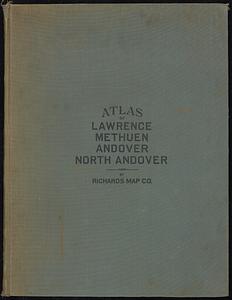
Atlas of the city of Lawrence and the towns of Methuen, Andover and North Andover, Massachusetts
7.
Atlas of the city of Lawrence and the towns of Methuen, Andover and North Andover, Massachusetts
8.
Atlas of the city of Newton, Massachusetts
9.
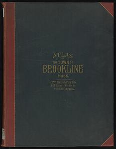
Atlas of the town of Brookline, Norfolk County, Massachusetts
10.
Atlas of the town of Brookline, Norfolk County, Massachusetts : from actual surveys and official plans
11.
The attack on Bunker Hill in the peninsula of Charlestown the 17th of June 1775
12.
Automobile map of New England showing the ideal tour
13.
Aviation map of United States : featuring landing fields, improved, unimproved
14.
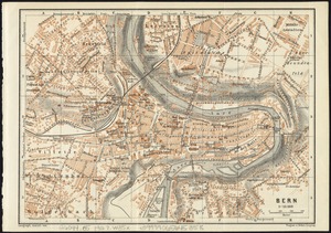
Bern
15.
Boston and surroundings
16.
Boston Elevated Railway lines operated 1925
17.
Boston Elevated Railway system
18.
Bower Mill & Wm. Iselin & Company (Ten.); F.H. Packard (Bldgs.) (Woolen), Lewiston, Me. [insurance map]
19.
Cape Ann and the North Shore : a map displaying the hardy maritime development of these historic parts
20.
Caribou National Forest, Idaho
‹ Prev
Next ›
1
2
3
4
5
…
9
10

![Ashland Cotton Company (Cotton & Rayon), Jewett City, Conn. [insurance map]](https://bpldcassets.blob.core.windows.net/derivatives/images/commonwealth:2r36vc11t/image_thumbnail_300.jpg)


![Bower Mill & Wm. Iselin & Company (Ten.); F.H. Packard (Bldgs.) (Woolen), Lewiston, Me. [insurance map]](https://bpldcassets.blob.core.windows.net/derivatives/images/commonwealth:4j03df29c/image_thumbnail_300.jpg)

