Toggle navigation
LMEC Home
Exhibitions
Georeferencing
Tools for Teachers
Collections
My Favorites
Sign Up / Log In
Search
Search the map portal
Map Collection
Map Collection
Map Sets
Search
Search
Search for
Search In
All Fields
Creator
Title
Subject
Place
Search All Digital Collections
Advanced Search
21 Results
My Search
Start Over
"G1015 .C67 1697x"
Remove constraint "G1015 .C67 1697x"
Filter your Search
Place
North and Central America
4
Europe
3
Africa
2
Asia
2
Canada
2
Cuba
2
Mesoamerica
2
North America
2
more
Place
»
Topic
Planispheres--Maps--Early works to 1800
3
Stars--Maps--Early works to 1800
3
Astronomy, Ancient--Early works to 1800
2
Cuba--Maps--Early works to 1800
2
Eastern Hemisphere--Maps--Early works to 1800
2
Amazon River Valley--Maps--Early works to 1800
1
Arctic regions--Maps--Early works to 1800
1
Astronomy--Charts, diagrams, etc--Early works to 1800
1
more
Topic
»
Date
Date range begin
–
Date range end
Current results range from
1691
to
1697
View distribution
Creator
Coronelli, Vincenzo, 1650-1718
21
Format
Maps/Atlases
21
Georeferenced
Yes
2
No
19
Collection
Norman B. Leventhal Map Center Collection
21
Maritime Charts and Atlases
3
Available to use
No known restrictions
21
Search Constraints
Sort by date (asc)
relevance
title
date (asc)
date (desc)
Number of results to display per page
20 per page
10
per page
20
per page
50
per page
100
per page
View results as:
grid view
map view
Search Results
1.
Ævi veteris usque ad annum salutis nonagesimum supra milles quadringentos cogniti tantum, typus geographica
2.
America Settentrionale : colle nuove scoperte fin alle' anno 1688 divisa nelle sue partu secondo lo stato presente
3.
Corso del fiume dell Amazon
4.
Mare del Nord
5.
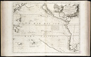
Mare del Svd, detto altrimenti Mare Pacifico
6.
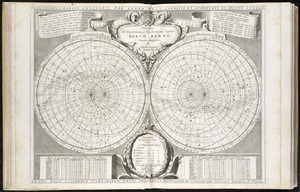
Planisferii celesti, calcolati per l'anno MDCC, corretti, et aumentati di molte stelle, ad uso dell' Accademia Cosmografica...
7.
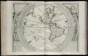
Planisfero del mondo nuovo
8.
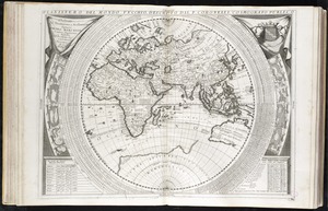
Planisfero del mondo vecchio
9.
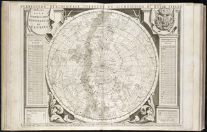
Planisfero meridionale, corretto, et accresciuto di molte stelle calcolato all' epoca dell' anno 1700
10.
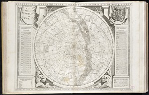
Planisfero settentrionale, corretto, et accresciuto di molte stelle calcolato all' epoca dell' anno 1700
11.
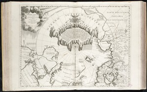
Terre Artiche
12.
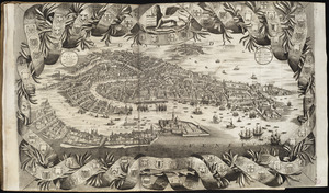
Citta di Venezia
13.
Canada orientale nell' America Settentrionale
14.
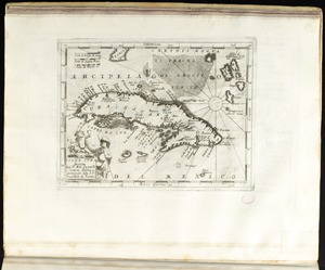
Isola Cuba
15.
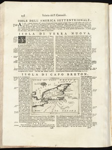
Isola di Capo Breton
16.
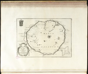
Isola di Maria Galante nelle Antilli, posseduta da S. M. Cristianissima in G. 15 M. 40 sett
17.
Isola e citta di Cartagena nell' America
18.
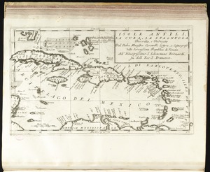
Isole Antili, la Cuba, la Spagnuola
19.
La Louisiana, parte settentrionalle, scoperta sotto la protettione di Luigi XIV, Ré di Francia, etc
20.
[Mexico and Central America]
‹ Prev
Next ›
1
2


![[Mexico and Central America]](https://bpldcassets.blob.core.windows.net/derivatives/images/commonwealth:cj82m4685/image_thumbnail_300.jpg)