Toggle navigation
LMEC Home
Exhibitions
Georeferencing
Tools for Teachers
Collections
My Favorites
Sign Up / Log In
Search
Search the map portal
Map Collection
Map Collection
Map Sets
Search
Search
Search for
Search In
All Fields
Creator
Title
Subject
Place
Search All Digital Collections
Advanced Search
13385 Results
My Search
Start Over
Filter your Search
Place
North and Central America
10,111
United States
8,249
Massachusetts
2,691
Suffolk (county)
1,664
Boston
1,621
Europe
1,386
Canada
949
New York
640
more
Place
»
Topic
Boston (Mass.)--Maps
741
City planning--Massachusetts--Boston--Maps
418
United States--History--Revolution, 1775-1783--Maps
329
United States--Maps
315
Urban renewal--Massachusetts--Boston--Maps
254
Real property--Massachusetts--Boston--Maps
252
Massachusetts--Maps
219
Insurance surveys
197
more
Topic
»
Date
Date range begin
–
Date range end
Current results range from
1482
to
2023
View distribution
Creator
United States. Hydrographic Office
595
Boston Redevelopment Authority
403
Des Barres, Joseph F. W. (Joseph Frederick Wallet), 1722-1824
247
Royal United Services Institute for Defence and Security Studies
160
Jefferys, Thomas, -1771
154
George, III, King of Great Britain, 1738-1820
152
George, IV, King of Great Britain, 1762-1830
151
O.H. Bailey & Co
148
more
Creator
»
Format
Maps/Atlases
13,205
Manuscripts
985
Prints
102
Books
49
Drawings/Illustrations
44
Photographs
15
Objects/Artifacts
13
Documents
7
more
Format
»
Georeferenced
Yes
979
No
12,406
Collection
Norman B. Leventhal Map & Education Center Collection
8,891
American Revolutionary War-Era Maps
3,305
Boston and New England Maps
2,804
Urban Maps
2,397
Maritime Charts and Atlases
1,150
William L. Clements Library Collection
910
Library of Congress Collection
618
Boston Redevelopment Authority Collection
475
more
Collection
»
Available to use
No known restrictions
9,952
Creative Commons license
1,677
Search Constraints
Sort by relevance
relevance
title
date (asc)
date (desc)
Number of results to display per page
20 per page
10
per page
20
per page
50
per page
100
per page
View results as:
grid view
map view
Search Results
641.
Atlas of the city of Cambridge, Massachusetts : from actual surveys and official plans
642.
Atlas of the city of Cambridge, Massachusetts : from actual surveys and official plans
643.
Atlas of the city of Cambridge, Massachusetts : from official records, private plan and actual surveys
644.
Atlas of the city of Cambridge, Massachusetts : from actual surveys and official plans
645.
Atlas of the city of Cambridge, Middlesex Co., Massachusetts
646.
Atlas of the city of Cambridge, Middlesex Co., Massachusetts
647.
Atlas of the city of Chelsea and the towns of Revere & Winthrop, Massachusetts
648.
Atlas of the city of Chelsea and the towns of Revere & Winthrop, Massachusetts : from actual surveys and official plans
649.
Atlas of the city of Chelsea and the towns of Revere & Winthrop, Massachusetts : from actual surveys and official plans
650.
Atlas of the city of Chelsea and the towns of Revere and Winthrop : from actual surveys and official plans
651.
Atlas of the city of Chelsea and the towns of Revere and Winthrop, Massachusetts
652.
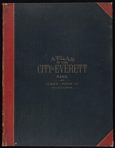
Atlas of the city of Everett, Mass.
653.
Atlas of the city of Fitchburg, Worcester County, Massachusetts : from official records and surveys
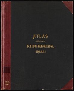
654.
Atlas of the city of Gloucester and town of Rockport, Massachusetts : from official records, private plans and actual surveys
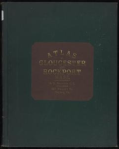
655.
Atlas of the city of Lawrence and the towns of Methuen, Andover and North Andover, Massachusetts
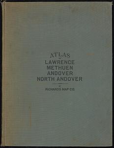
656.
Atlas of the city of Lawrence and the towns of Methuen, Andover and North Andover, Massachusetts
657.
Atlas of the city of Lawrence and the towns of Methuen, Andover and North Andover, Massachusetts
658.
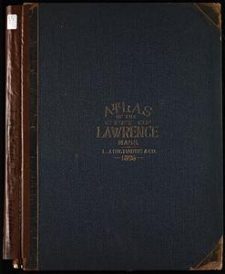
Atlas of the city of Lawrence, Massachusetts : including also the town of Methuen
659.
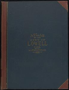
Atlas of the city of Lowell, Massachusetts
660.
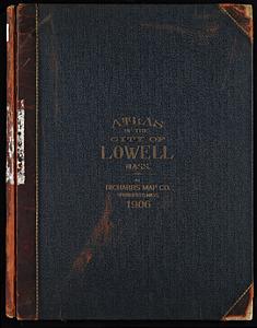
Atlas of the city of Lowell, Massachusetts
‹ Prev
Next ›
1
2
…
29
30
31
32
33
34
35
36
37
…
669
670