Toggle navigation
LMEC Home
Exhibitions
Georeferencing
Tools for Teachers
Collections
My Favorites
Sign Up / Log In
Search
Search the map portal
Map Collection
Map Collection
Map Sets
Search
Search
Search for
Search In
All Fields
Creator
Title
Subject
Place
Search All Digital Collections
Advanced Search
983 Results
My Search
Start Over
More Like
commonwealth-oai:2801td788
Remove constraint More Like: commonwealth-oai:2801td788
Filter your Search
Place
North and Central America
933
United States
638
Canada
209
New York
192
Quebec
111
North America
85
Pennsylvania
60
New Jersey
54
more
Place
»
Topic
United States--History--Revolution, 1775-1783--Maps
306
United States--History--French and Indian War, 1754-1763--Maps
149
North America--Maps
85
Saint Lawrence River--Maps
46
Newport (R.I.)--Maps
27
New York (State)--Maps
24
United States--Maps
23
Hudson River (N.Y. and N.J.)--Maps
21
more
Topic
»
Date
Date range begin
–
Date range end
Current results range from
1700
to
1945
View distribution
Creator
Rocque, Mary Ann
29
Bellin, Jacques Nicolas, 1703-1772
25
Holland, Samuel, 1728-1801
25
Jefferys, Thomas, -1771
25
Montrésor, John, 1736-1799
25
Clinton, Henry, Sir, 1738?-1795
19
Robert Sayer and John Bennett (Firm)
16
Kitchin, Thomas, 1719-1784
14
more
Creator
»
Format
Maps/Atlases
967
Drawings/Illustrations
11
Documents
5
Prints
1
Georeferenced
Yes
13
No
970
Collection
American Revolutionary War-Era Maps
942
William L. Clements Library Collection
909
Norman B. Leventhal Map & Education Center Collection
41
American Antiquarian Society Collection
17
New York Public Library Collection
9
MacLean Collection Map Library
6
Richard H. Brown Revolutionary War Map Collection at Mount Vernon
1
Available to use
No known restrictions
41
Creative Commons license
11
Search Constraints
Sort by relevance
relevance
title
date (asc)
date (desc)
Number of results to display per page
20 per page
10
per page
20
per page
50
per page
100
per page
View results as:
grid view
map view
Search Results
1.
L'Amérique Septentrionale
2.
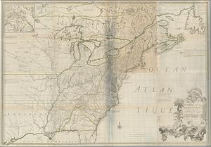
The British colonies in North America
3.
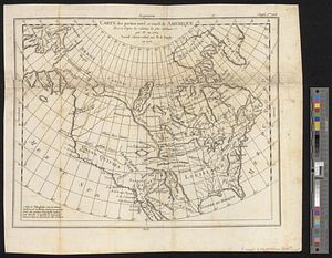
Carte des parties nord et ouest de l'Amérique dressée d'apres les relations les plus authentique par M... en 1764 : nouvelle...
4.
A general map of North America drawn from the best surveys 1795
5.
A new and accurate map of North America laid down according to the latest and most approved observations, and discoveries
6.
North America
7.
North America
8.
North America with the West India islands
9.
Nova orbis sive America Septentrionalis per sua regna provinc. et insul. cura et opera
10.
Specimen trigesimae sextae partis ex globo terrestri trium pedum Parisin cujus nec non globi Coelestis constructio addito...
11.
The United States according to the definitive treaty of peace signed at Paris, Septr. 3d. 1783 ...
12.
An accurate map of North America
13.
America settle
14.
Amerikanisch-Spanischer kriegsschauplatz
15.
Amerique Septentrionale
16.
Amérique Septentrionale
17.
Amerique Septentrionale avec les routes, distances en miles, villages et etablissements françois et anglois = North America
18.
Amerique septentrionale divisée en ses principales parties
19.
Amérique Septentrionale publiée sous les auspices de Monseigneur le Duc d'Orleans prémier prince du sang
20.
British possessions in North America
‹ Prev
Next ›
1
2
3
4
5
…
49
50