Toggle navigation
LMEC Home
Exhibitions
Georeferencing
Tools for Teachers
Collections
My Favorites
Sign Up / Log In
Search
Search the map portal
Map Collection
Map Collection
Map Sets
Search
Search
Search for
Search In
All Fields
Creator
Title
Subject
Place
Search All Digital Collections
Advanced Search
175 Results
My Search
Start Over
More Like
commonwealth:zw131t38b
Remove constraint More Like: commonwealth:zw131t38b
Filter your Search
Place
North and Central America
175
United States
172
Middlesex (county)
57
Suffolk (county)
40
Boston
38
Massachusetts
36
Newton
35
Essex (county)
28
more
Place
»
Topic
Landowners--Massachusetts--Boston--Maps
35
Real property--Massachusetts--Boston--Maps
35
Buildings--Massachusetts--Boston--Maps
34
Newton (Mass.)--Maps
33
Real property--Massachusetts--Newton--Maps
23
Landowners--Massachusetts--Newton--Maps
20
Boston (Mass.)--Maps
12
Buildings--Massachusetts--Brookline--Maps
9
more
Topic
»
Date
Date range begin
–
Date range end
Current results range from
1830
to
1997
View distribution
Creator
Bromley, George Washington
38
Bromley, Walter Scott
38
G.W. Bromley & Co.
38
Geo. H. Walker & Co.
24
Hopkins, Griffith Morgan, Jr.
20
L.J. Richards & Co.
15
Richards Map Company
7
Walker Lith. & Pub. Co.
7
more
Creator
»
Format
Maps/Atlases
175
Manuscripts
1
Georeferenced
Yes
1
No
174
Collection
Massachusetts Real Estate Atlases
143
Norman B. Leventhal Map & Education Center Collection
31
Boston and New England Maps
29
Urban Maps
29
Applied Geographics, Inc. Records
5
Boston Redevelopment Authority Collection
1
Available to use
No known restrictions
32
Search Constraints
Sort by relevance
relevance
title
date (asc)
date (desc)
Number of results to display per page
20 per page
10
per page
20
per page
50
per page
100
per page
View results as:
grid view
map view
Search Results
141.
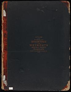
Atlas of the towns of Braintree and Weymouth, Norfolk County, Massachusetts
142.
Atlas of the towns of Needham, Dover, Westwood, Millis and Medfield, Norfolk county, Massachusetts
143.
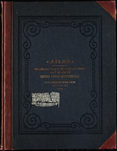
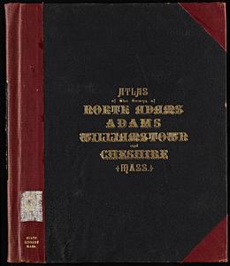
Atlas of the towns of North Adams, Adams, Williamstown and Cheshire, Berkshire County, Massachusetts
144.
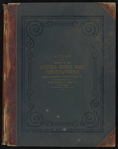
Atlas of the towns of Topsfield, Ipswich, Essex, Hamilton and Wenham, Essex County, Massachusetts
145.
Atlas of Town of Weymouth, Massachusetts
146.
Atlas of Westfield town, Massachusetts
147.
Atlas of Winchendon town, Massachusetts
148.
Atlas of Worcester County, Massachusetts
149.
City atlas of Haverhill, Massachusetts
150.
City atlas of Lawrence, Massachusetts
151.
City atlas of Lowell, Massachusetts
152.
City atlas of Lynn, Massachusetts : from official records, private plans and actual surveys
153.
County atlas of Hampshire, Massachusetts
154.
Insurance maps of Rockland, including Hanover, Plymouth County, Massachusetts
155.
Insurance maps of Stoneham, Middlesex Co., Massachusetts
156.
Insurance maps of Watertown, Middlesex County, Massachusetts
157.
Insurance maps of Winchester, Middlesex County, Massachusetts
158.
Maps of the street-lines of Boston : made for the Selectmen in 1819 and 1820
159.
Marlborough, Middlesex County, Massachusetts
160.
New topographical atlas of surveys Bristol County, Massachusetts
‹ Prev
Next ›
1
2
…
4
5
6
7
8
9