Toggle navigation
LMEC Home
Exhibitions
Georeferencing
Tools for Teachers
Collections
My Favorites
Sign Up / Log In
Search
Search the map portal
Map Collection
Map Collection
Map Sets
Search
Search
Search for
Search In
All Fields
Creator
Title
Subject
Place
Search All Digital Collections
Advanced Search
257 Results
My Search
Start Over
More Like
commonwealth:zg64x938j
Remove constraint More Like: commonwealth:zg64x938j
Filter your Search
Place
North and Central America
257
United States
254
Middlesex (county)
138
Massachusetts
118
Suffolk (county)
54
Boston
51
Cambridge
50
Newton
32
more
Place
»
Topic
Cambridge (Mass.)--Maps
52
Real property--Massachusetts--Boston--Maps
38
Landowners--Massachusetts--Boston--Maps
36
Buildings--Massachusetts--Boston--Maps
34
Newton (Mass.)--Maps
33
Boston (Mass.)--Maps
21
Real property--Massachusetts--Cambridge--Maps
21
Real property--Massachusetts--Newton--Maps
20
more
Topic
»
Date
Date range begin
–
Date range end
Current results range from
1787
to
2008
View distribution
Creator
G.W. Bromley & Co.
43
Bromley, George Washington
42
Bromley, Walter Scott
42
Geo. H. Walker & Co.
28
Hopkins, Griffith Morgan, Jr.
22
L.J. Richards & Co.
15
G.M. Hopkins & Co.
8
Walker Lith. & Pub. Co.
8
more
Creator
»
Format
Maps/Atlases
257
Books
4
Manuscripts
2
Georeferenced
Yes
17
No
240
Collection
Massachusetts Real Estate Atlases
143
Norman B. Leventhal Map & Education Center Collection
110
Boston and New England Maps
98
Urban Maps
90
Applied Geographics, Inc. Records
7
American Revolutionary War-Era Maps
3
William L. Clements Library Collection
3
Boston Redevelopment Authority Collection
1
Available to use
No known restrictions
110
Creative Commons license
1
Search Constraints
Sort by relevance
relevance
title
date (asc)
date (desc)
Number of results to display per page
20 per page
10
per page
20
per page
50
per page
100
per page
View results as:
grid view
map view
Search Results
81.
Plan of house lots in West Newton, belonging to Chester Judson, to be sold by public auction, on Thursday August 12th at 4...
82.
Plan of land belonging to William Kenrick : near the depot of Newton Corner
83.
Plan of Newton & Needham
84.
Plan of Newton Terraces, Newton, Mass
85.
Plan of Woodland Vale, in Newton, belonging to Wm. Kenrick
86.
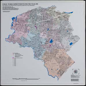
Public works improvements for the year 1995
87.
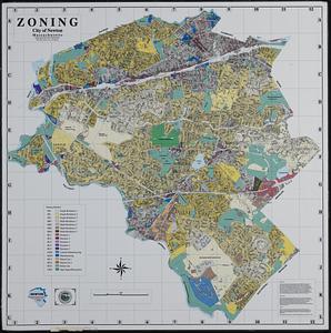
Zoning city of Newton, Massachusetts
88.
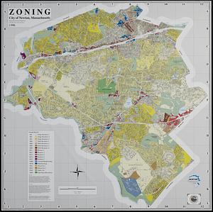
Zoning city of Newton, Massachusetts
89.
Atlas of the city of Cambridge, Massachusetts : from actual surveys and official plans
90.
Atlas of the city of Cambridge, Massachusetts : from actual surveys and official plans
91.
Atlas of the city of Cambridge, Massachusetts : from actual surveys and official plans
92.
Atlas of the city of Cambridge, Massachusetts : from official records, private plan and actual surveys
93.
Atlas of the city of Cambridge, Massachusetts : from actual surveys and official plans
94.
Atlas of the city of Cambridge, Middlesex Co., Massachusetts
95.
Broad Canal, Cambridge : condition of retaining walls and bed of Canal, inspection for Committee on Charles River Dam, Oct. 30,...
96.
Compiled plan, showing Millers Creek and a portion of Charles River
97.
Insurance map of Charlestown : portions of Roxbury (now annexed to Boston) and Cambridge : 1868 : corrected Nov. 1871
98.
Insurance map of Charlestown : portions of Roxbury (now annexed to Boston) and Cambridge
99.
Lechmere Canal, Cambridge : condition of retaining walls and bed of canal, inspection for Committee on Charles River Dam, Nov....
100.
Map of Cambridge
‹ Prev
Next ›
1
2
3
4
5
6
7
8
9
…
12
13