Toggle navigation
LMEC Home
Exhibitions
Georeferencing
Tools for Teachers
Collections
My Favorites
Sign Up / Log In
Search
Search the map portal
Map Collection
Map Collection
Map Sets
Search
Search
Search for
Search In
All Fields
Creator
Title
Subject
Place
Search All Digital Collections
Advanced Search
50 Results
My Search
Start Over
More Like
commonwealth:z603vq44h
Remove constraint More Like: commonwealth:z603vq44h
Filter your Search
Place
North and Central America
43
New York
34
United States
31
New Jersey
12
North America
9
New England
8
Northeastern United States
8
Pennsylvania
5
more
Place
»
Topic
New York (State)--Maps--Early works to 1800
34
New Jersey--Maps--Early works to 1800
12
Northeastern States--Maps--Early works to 1800
9
New England--Maps--Early works to 1800
8
New York (State)--Administrative and political divisions--Maps--Early works to 1800
6
North America--Maps--Early works to 1800
6
Pennsylvania--Maps--Early works to 1800
5
Real property--New York (State)--Maps--Early works to 1800
5
more
Topic
»
Date
Date range begin
–
Date range end
Current results range from
1636
to
1798
View distribution
Creator
Faden, William, 1749-1836
5
Sauthier, Claude Joseph
5
Montrésor, John, 1736-1799
4
Dury, Andrew
3
Kitchin, Thomas, 1719-1784
3
Le Rouge, Georges-Louis
3
Amherst, Jeffery Amherst, Baron, 1717-1797
2
Andrews, Peter, active 1765-1782
2
more
Creator
»
Format
Maps/Atlases
50
Georeferenced
Yes
2
No
48
Collection
American Revolutionary War-Era Maps
44
New York Public Library Collection
23
Norman B. Leventhal Map & Education Center Collection
13
MacLean Collection Map Library
8
Richard H. Brown Revolutionary War Map Collection at Mount Vernon
4
Mapping Boston Collection
2
Sidney R. Knafel Map Collection at Phillips Academy
2
Available to use
Creative Commons license
29
No known restrictions
11
Search Constraints
Sort by relevance
relevance
title
date (asc)
date (desc)
Number of results to display per page
20 per page
10
per page
20
per page
50
per page
100
per page
View results as:
grid view
map view
Search Results
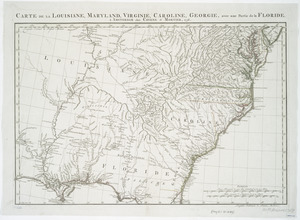
41.
Carte de la Louisiane, Maryland, Virginie, Caroline, Georgie, avec une partie de la Floride
42.
A map of Maryland with the Delaware counties and the southern part of New Jersey &c
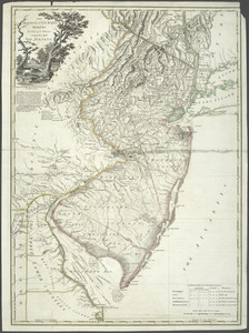
43.
A new and accurate map of New Jersey, Pensilvania, New York and New England : with the adjacent countries. Drawn from surveys,...
44.
A new and accurate map of North America : laid down according to the latest, and most approved observations and discoveries
45.
A new and accurate map of North America : laid down according to the latest, and most approved observations and discoveries
46.
Nouveau Mexique, Louisiane, Canada, et les Etats Unis
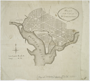
47.
Plan of the city of Washington
48.
The Province of New Jersey : divided into East and West, commonly called the Jerseys
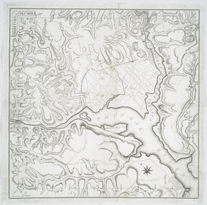
49.
Territory of Columbia
50.
Various plans and draughts of cities, towns, harbours &c
‹ Prev
Next ›
1
2
3