Search Constraints
Search Results
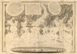
101. Port Campbell
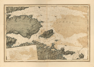
102. Port Jackson
103. Port Jackson
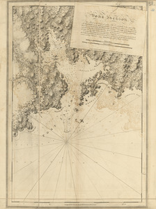
104. Port Jackson
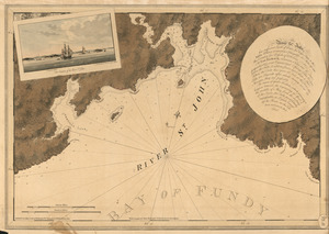
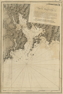
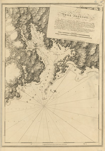
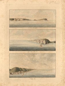
105. The river St. John
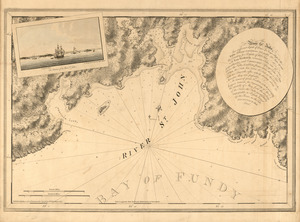
106. The river St. John
![[River St. John]](https://bpldcassets.blob.core.windows.net/derivatives/images/commonwealth:dz010t93f/image_thumbnail_300.jpg)
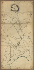
107. [River St. John]
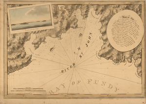
108. The river St. John
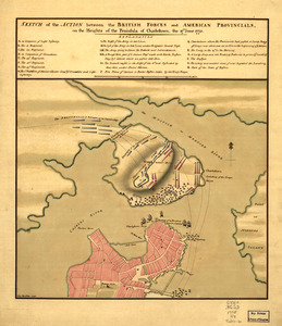
![[Rough draft of Charlestown, in water colour]](https://bpldcassets.blob.core.windows.net/derivatives/images/commonwealth:z603vj49v/image_thumbnail_300.jpg)
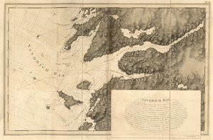
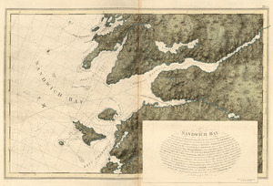
111. Sandwich Bay
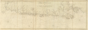
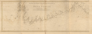
![[Southwest coast of Nova Scotia from Cape Sable to Cape St. Mary]](https://bpldcassets.blob.core.windows.net/derivatives/images/commonwealth:t722hs70t/image_thumbnail_300.jpg)
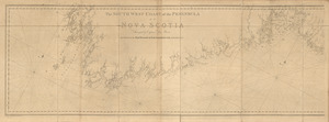
![[Southwest coast of Nova Scotia from Cape Sable to Cape St. Mary]](https://bpldcassets.blob.core.windows.net/derivatives/images/commonwealth:t722hs72c/image_thumbnail_300.jpg)