Toggle navigation
LMEC Home
Exhibitions
Georeferencing
Tools for Teachers
Collections
My Favorites
Sign Up / Log In
Search
Search the map portal
Map Collection
Map Collection
Map Sets
Search
Search
Search for
Search In
All Fields
Creator
Title
Subject
Place
Search All Digital Collections
Advanced Search
8743 Results
My Search
Start Over
More Like
commonwealth:xg94j203c
Remove constraint More Like: commonwealth:xg94j203c
Filter your Search
Place
North and Central America
5,971
United States
4,891
Massachusetts
2,079
Europe
1,396
Suffolk (county)
1,046
Boston
1,019
Canada
462
Asia
438
more
Place
»
Topic
Boston (Mass.)--Maps
586
United States--Maps
330
Real property--Massachusetts--Boston--Maps
175
Massachusetts--Maps
162
Landowners--Massachusetts--Boston--Maps
133
North America--Maps--Early works to 1800
103
New England--Maps
102
Europe--Maps
79
more
Topic
»
Date
Date range begin
–
Date range end
Current results range from
1482
to
2023
View distribution
Creator
United States. Hydrographic Office
595
O.H. Bailey & Co
148
Des Barres, Joseph F. W. (Joseph Frederick Wallet), 1722-1824
123
United States. Post Office Dept
120
Ptolemy, 2nd cent
100
Walling, Henry Francis, 1825-1888
94
Geological Survey (U.S.)
87
Jefferys, Thomas, -1771
85
more
Creator
»
Format
Maps/Atlases
8,683
Manuscripts
215
Prints
56
Books
36
Objects/Artifacts
10
Drawings/Illustrations
8
Posters
5
Georeferenced
Yes
870
No
7,873
Collection
Norman B. Leventhal Map & Education Center Collection
8,700
Boston and New England Maps
2,233
Urban Maps
2,023
Maritime Charts and Atlases
1,083
American Revolutionary War-Era Maps
657
Boston Redevelopment Authority Collection
87
Maps from AAS
20
William L. Clements Library Collection
13
more
Collection
»
Available to use
No known restrictions
8,556
Creative Commons license
50
Search Constraints
Sort by relevance
relevance
title
date (asc)
date (desc)
Number of results to display per page
20 per page
10
per page
20
per page
50
per page
100
per page
View results as:
grid view
map view
Search Results
4801.
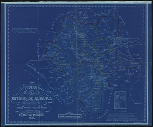
Mapa del estado de Durango, Republica Mexicana
4802.
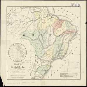
Mapa do Brazil : (esboço) (outline)
4803.
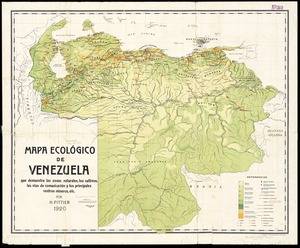
Mapa ecológico de Venezuela que demuestra las zonas naturales, los cultivos, las vías de comunicación y los principales...
4804.
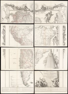
Mapa geográfico de América Meridional
4805.
Mapa geográfico de la mayor parte de la América Meridional que contiene los paises por donde debe trazarse la línia...
4806.
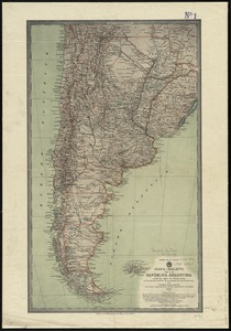
Mapa geográfico de la Republica Argentina : compilado sobre la base de los datos mas recientes
4807.
Mapa itinerario militar de Espana
4808.
Mapa jeografico de la Puna de Atacama
4809.
Mapa-relieve de la República Argentina construido segun los ultimos datos y documentos ineditos de propiedad del establecimiento
4810.
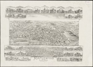
Maplewood and Linden, Massachusetts, 1897
4811.
A mapp of New England
4812.
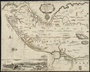
A mapp of New Jersey in America
4813.
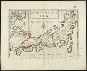
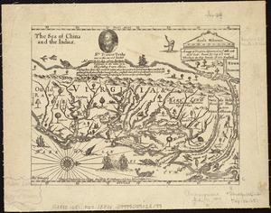
A mapp of the Isles of Iapon
4814.
A mapp of the seat of the warrs in Germany and the Spanish Netherlands, for His Majesties own use
4815.
A mapp of Virginia discouered to ye hills, and in its latt: from 35 deg: & 1/2 neer Florida, to 41 deg: bounds of new England
4816.
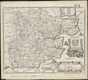
A mapp of ye county of Essex : with its hundreds
4817.
A mapp of ye improved part of Pensilvania in America, divided into countyes, townships, and lotts
4818.
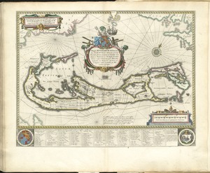
Mappa aestivarum insularum, alias Barmudas dictarum, ad ostia Mexicani aestuarij jacentium in latitudine graduum 32 minutorum...
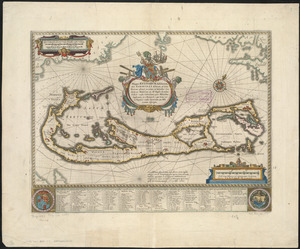
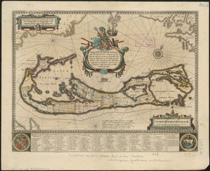
4819.
Mappa aestivarum insularum, alias Barmudas dictarum, ad ostia Mexicani aestuarij jacentium in latitudine graduum 32 minutorum...
4820.
Mappa aestivarum insularum, alias Barmudas dictarum, ad ostia Mexicani aestuarij jacentium in latitudine graduum 32 minutorum...
‹ Prev
Next ›
1
2
…
237
238
239
240
241
242
243
244
245
…
437
438