Search Constraints
Search Results
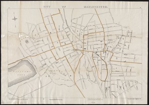
1601. City of Marlborough
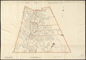
1602. City of Melrose
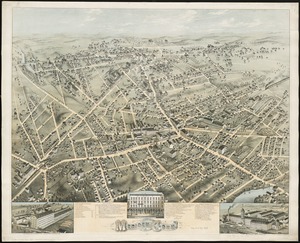
1604. City of Meriden, Conn

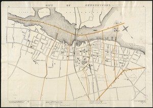
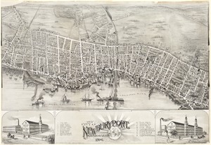
1607. City of Newburyport

1609. City of New-York
![[City of Niagara Falls]](https://bpldcassets.blob.core.windows.net/derivatives/images/commonwealth:4m90f177c/image_thumbnail_300.jpg)
1610. [City of Niagara Falls]
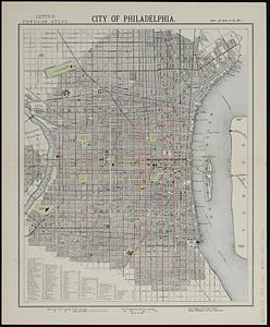
1612. City of Philadelphia
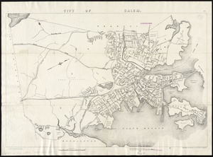
1615. City of Salem