Toggle navigation
LMEC Home
Exhibitions
Georeferencing
Tools for Teachers
Collections
My Favorites
Sign Up / Log In
Search
Search the map portal
Map Collection
Map Collection
Map Sets
Search
Search
Search for
Search In
All Fields
Creator
Title
Subject
Place
Search All Digital Collections
Advanced Search
8926 Results
My Search
Start Over
More Like
commonwealth:x920k4065
Remove constraint More Like: commonwealth:x920k4065
Filter your Search
Place
North and Central America
6,157
United States
5,075
Massachusetts
2,109
Europe
1,396
Suffolk (county)
1,277
Boston
1,250
Canada
449
Asia
438
more
Place
»
Topic
Boston (Mass.)--Maps
647
City planning--Massachusetts--Boston--Maps
297
United States--Maps
282
Urban renewal--Massachusetts--Boston--Maps
253
Real property--Massachusetts--Boston--Maps
195
Massachusetts--Maps
162
Landowners--Massachusetts--Boston--Maps
135
North America--Maps--Early works to 1800
103
more
Topic
»
Date
Date range begin
–
Date range end
Current results range from
1482
to
2023
View distribution
Creator
United States. Hydrographic Office
595
Boston Redevelopment Authority
295
O.H. Bailey & Co
148
Des Barres, Joseph F. W. (Joseph Frederick Wallet), 1722-1824
123
United States. Post Office Dept
120
Ptolemy, 2nd cent
100
Walling, Henry Francis, 1825-1888
94
Geological Survey (U.S.)
86
more
Creator
»
Format
Maps/Atlases
8,866
Manuscripts
215
Prints
56
Books
36
Objects/Artifacts
10
Drawings/Illustrations
8
Posters
5
Georeferenced
Yes
869
No
8,057
Collection
Norman B. Leventhal Map & Education Center Collection
8,694
Boston and New England Maps
2,464
Urban Maps
2,254
Maritime Charts and Atlases
1,083
American Revolutionary War-Era Maps
616
Boston Redevelopment Authority Collection
319
Available to use
No known restrictions
8,784
Creative Commons license
47
Search Constraints
Sort by relevance
relevance
title
date (asc)
date (desc)
Number of results to display per page
20 per page
10
per page
20
per page
50
per page
100
per page
View results as:
grid view
map view
Search Results
61.
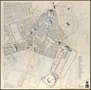
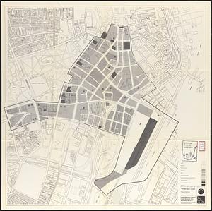
Central business district urban renewal area Massachusetts r-82 : illustrative site plan
62.
Central business district urban renewal area, Massachusetts r-82 : illustrative site plan
63.
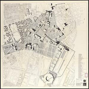
Central business district urban renewal area, Massachusetts r-82 : illustrative site plan
64.
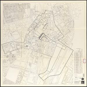
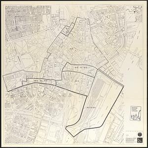
Central business district urban renewal area Massachusetts r-82 : disposition parcels
65.
Central business district urban renewal area Massachusetts r-82 : illustrative site plan
66.
Central business district urban renewal area Massachusetts r-82 : zoning
67.
Central business district urban renewal area Massachusetts r-82 : proposed land use
68.
Central business district urban renewal area Massachusetts r-82 : property map
69.
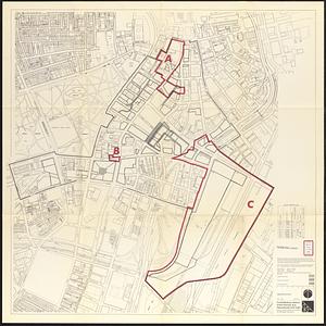
Central business district urban renewal area Massachusetts r-82 A,B,C : disposition parcels
70.
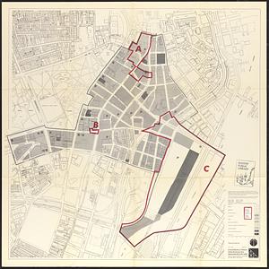
Central business district urban renewal area Massachusetts r-82 A,B,C : proposed land use
71.
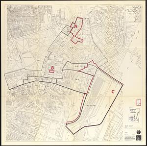
Central business district urban renewal area Massachusetts r-82 A,B,C : zoning
72.
Central business district urban renewal area r-82 : parcel acquisition map
73.
Central business district urban renewal area r-82 : existing land use
74.
Central business district urban renewal area r-82 : building deficiencies
75.
Charlestown project no. Mass r-42 (GN) : existing circulation
76.
Charlestown project no. Mass r-42 (GN) : existing zoning
77.
Charlestown project no. Mass r-42 (GN) : generalized building conditions
78.
Charlestown project no. Mass r-42 (GN) : proposed treatment areas and project boundaries
79.
Charlestown project no. Mass r-42 (GN) : population distribution
80.
Charlestown project no. Mass r-42 (GN) : existing building coverage
‹ Prev
Next ›
1
2
3
4
5
6
7
8
…
446
447