Toggle navigation
LMEC Home
Exhibitions
Georeferencing
Tools for Teachers
Collections
My Favorites
Sign Up / Log In
Search
Search the map portal
Map Collection
Map Collection
Map Sets
Search
Search
Search for
Search In
All Fields
Creator
Title
Subject
Place
Search All Digital Collections
Advanced Search
8939 Results
My Search
Start Over
More Like
commonwealth:wd376704k
Remove constraint More Like: commonwealth:wd376704k
Filter your Search
Place
North and Central America
6,170
United States
5,074
Massachusetts
2,209
Europe
1,396
Suffolk (county)
1,215
Boston
1,188
Canada
450
Asia
438
more
Place
»
Topic
Boston (Mass.)--Maps
752
United States--Maps
282
Massachusetts--Maps
235
Real property--Massachusetts--Boston--Maps
195
City planning--Massachusetts--Boston--Maps
162
Landowners--Massachusetts--Boston--Maps
142
New England--Maps
106
North America--Maps--Early works to 1800
103
more
Topic
»
Date
Date range begin
–
Date range end
Current results range from
1482
to
2023
View distribution
Creator
United States. Hydrographic Office
595
Boston Redevelopment Authority
168
O.H. Bailey & Co
148
Des Barres, Joseph F. W. (Joseph Frederick Wallet), 1722-1824
124
United States. Post Office Dept
120
Ptolemy, 2nd cent
100
Walling, Henry Francis, 1825-1888
95
Geological Survey (U.S.)
92
more
Creator
»
Format
Maps/Atlases
8,878
Manuscripts
217
Prints
56
Books
36
Objects/Artifacts
10
Drawings/Illustrations
8
Posters
5
Ephemera
1
Georeferenced
Yes
894
No
8,045
Collection
Norman B. Leventhal Map & Education Center Collection
8,766
Boston and New England Maps
2,410
Urban Maps
2,148
Maritime Charts and Atlases
1,083
American Revolutionary War-Era Maps
657
Boston Redevelopment Authority Collection
200
David Judkins Weaver Papers
22
Mapping Boston Collection
22
more
Collection
»
Available to use
No known restrictions
8,714
Creative Commons license
73
Search Constraints
Sort by relevance
relevance
title
date (asc)
date (desc)
Number of results to display per page
20 per page
10
per page
20
per page
50
per page
100
per page
View results as:
grid view
map view
Search Results
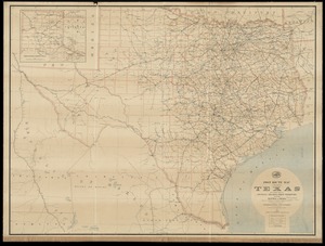
7061.
Post route map of the state of Texas with adjacent parts of Louisiana, Arkansas, Indian Territory and of the Republic of Mexico...
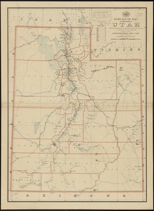
7062.
Post route map of the state of Utah showing post offices with the intermediate distances on mail routes in operation on the...
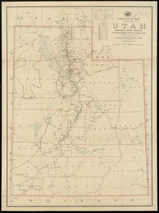
7063.
Post route map of the state of Utah showing post offices with the intermediate distances on mail routes in operation on the 1st...
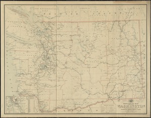
7064.
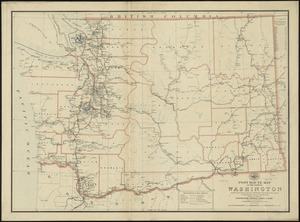
Post route map of the state of Washington showing post offices with the intermediate distances and mail routes in operation on...
7065.
Post route map of the state of Washington showing post offices with the intermediate distances on mail routes in operation on...
7066.
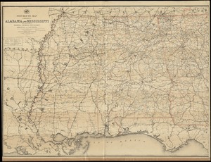
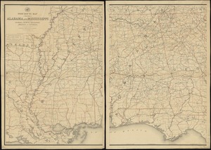
Post route map of the states of Alabama and Mississippi with adjacent parts of Florida, Georgia, Tennessee, Arkansas and...
7067.
Post route map of the states of Alabama and Mississippi with adjacent parts of Florida, Georgia, Tennessee, Arkansas and...
7068.
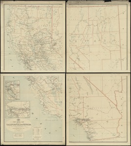
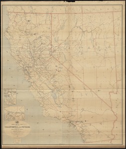
Post route map of the states of California and Nevada showing post offices with the intermediate distances on mail routes in...
7069.
Post route map of the states of California and Nevada showing post offices with the intermediate distances on mail routes in...
7070.
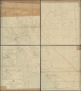
Post route map of the states of California and Nevada with adjacent parts of Oregon, Idaho, Utah, Arizona and of the Republic...
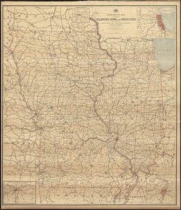
7071.
Post route map of the states of Illinois, Iowa, and Missouri with adjacent parts of Indiana, Wisconsin, Minnesota, Nebraska,...
7072.
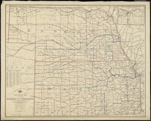
Post route map of the states of Kansas and Nebraska showing post offices with the intermediate distances and mail routes in...
7073.
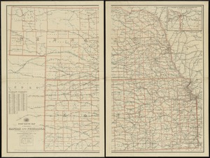
Post route map of the states of Kansas and Nebraska showing post offices with the intermediate distances on mail routes in...
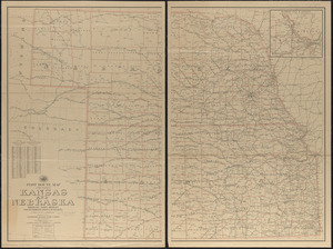
7074.
Post route map of the states of Kansas and Nebraska showing post offices with the intermediate distances on mail routes in...
7075.
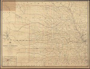
Post route map of the states of Kansas and Nebraska with adjacent parts of Missouri, Iowa, Dakota, Colorado, Texas, and Indian...
7076.
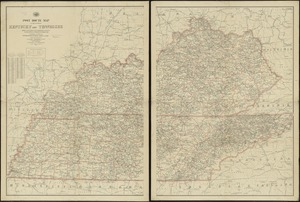
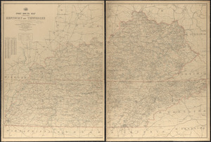
Post route map of the states of Kentucky and Tennessee showing post offices and intermediate distances on mail routes in...
7077.
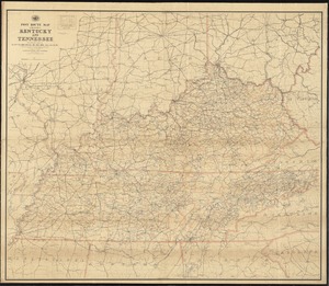
Post route map of the states of Kentucky and Tennessee showing post offices with the intermediate distances and mail routes in...
7078.
Post route map of the states of Kentucky and Tennessee with adjacent parts of Va., West Va., Ohio, Ind., Ill., Mo., Ark.,...
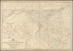
7079.
Post route map of the states of Maryland and Delaware and of the District of Columbia showing post offices with the...
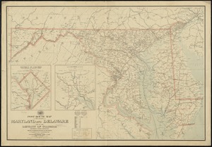
7080.
Post route map of the states of Maryland and Delaware and of the District of Columbia showing post offices with the...
‹ Prev
Next ›
1
2
…
350
351
352
353
354
355
356
357
358
…
446
447