Toggle navigation
LMEC Home
Exhibitions
Georeferencing
Tools for Teachers
Collections
My Favorites
Sign Up / Log In
Search
Search the map portal
Map Collection
Map Collection
Map Sets
Search
Search
Search for
Search In
All Fields
Creator
Title
Subject
Place
Search All Digital Collections
Advanced Search
8740 Results
My Search
Start Over
More Like
commonwealth:wd376438s
Remove constraint More Like: commonwealth:wd376438s
Filter your Search
Place
North and Central America
5,947
United States
4,845
Massachusetts
2,079
Europe
1,396
Suffolk (county)
1,046
Boston
1,019
Canada
449
Asia
438
more
Place
»
Topic
Boston (Mass.)--Maps
586
United States--Maps
283
Real property--Massachusetts--Boston--Maps
175
Massachusetts--Maps
162
Landowners--Massachusetts--Boston--Maps
133
North America--Maps--Early works to 1800
103
New England--Maps
102
North America--Maps
85
more
Topic
»
Date
Date range begin
–
Date range end
Current results range from
1482
to
2023
View distribution
Creator
United States. Hydrographic Office
595
O.H. Bailey & Co
148
Des Barres, Joseph F. W. (Joseph Frederick Wallet), 1722-1824
123
United States. Post Office Dept
120
Ptolemy, 2nd cent
100
Walling, Henry Francis, 1825-1888
94
Jefferys, Thomas, -1771
87
Geological Survey (U.S.)
86
more
Creator
»
Format
Maps/Atlases
8,680
Manuscripts
215
Prints
56
Books
36
Objects/Artifacts
10
Drawings/Illustrations
8
Posters
5
Georeferenced
Yes
872
No
7,868
Collection
Norman B. Leventhal Map & Education Center Collection
8,695
Boston and New England Maps
2,233
Urban Maps
2,023
Maritime Charts and Atlases
1,083
American Revolutionary War-Era Maps
661
Boston Redevelopment Authority Collection
87
American Antiquarian Society Collection
17
William L. Clements Library Collection
12
more
Collection
»
Available to use
No known restrictions
8,553
Creative Commons license
58
Search Constraints
Sort by relevance
relevance
title
date (asc)
date (desc)
Number of results to display per page
20 per page
10
per page
20
per page
50
per page
100
per page
View results as:
grid view
map view
Search Results
6801.
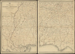
Post route map of the states of Alabama and Mississippi with adjacent parts of Florida, Georgia, Tennessee, Arkansas and...
6802.
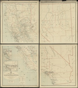
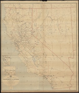
Post route map of the states of California and Nevada showing post offices with the intermediate distances on mail routes in...
6803.
Post route map of the states of California and Nevada showing post offices with the intermediate distances on mail routes in...
6804.
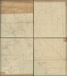
Post route map of the states of California and Nevada with adjacent parts of Oregon, Idaho, Utah, Arizona and of the Republic...
6805.
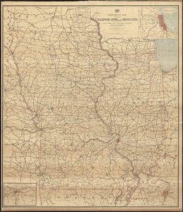
Post route map of the states of Illinois, Iowa, and Missouri with adjacent parts of Indiana, Wisconsin, Minnesota, Nebraska,...
6806.
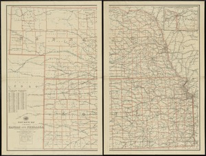
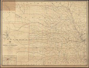
Post route map of the states of Kansas and Nebraska showing post offices with the intermediate distances and mail routes in...
6807.
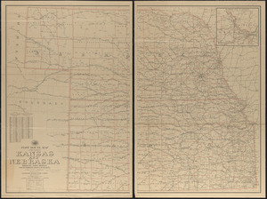
Post route map of the states of Kansas and Nebraska showing post offices with the intermediate distances on mail routes in...
6808.
Post route map of the states of Kansas and Nebraska showing post offices with the intermediate distances on mail routes in...
6809.
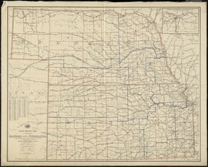
Post route map of the states of Kansas and Nebraska with adjacent parts of Missouri, Iowa, Dakota, Colorado, Texas, and Indian...
6810.
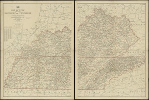
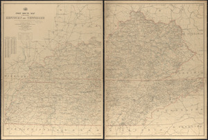
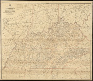
Post route map of the states of Kentucky and Tennessee showing post offices and intermediate distances on mail routes in...
6811.
Post route map of the states of Kentucky and Tennessee showing post offices with the intermediate distances and mail routes in...
6812.
Post route map of the states of Kentucky and Tennessee with adjacent parts of Va., West Va., Ohio, Ind., Ill., Mo., Ark.,...
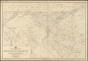
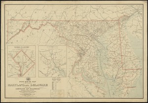
6813.
Post route map of the states of Maryland and Delaware and of the District of Columbia showing post offices with the...
6814.
Post route map of the states of Maryland and Delaware and of the District of Columbia showing post offices with the...
6815.
Post route map of the states of Massachusetts, Rhode Island, Connecticut showing post offices with the intermediate distances...
6816.
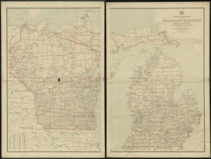
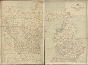
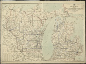
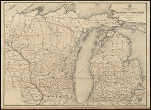
Post route map of the states of Michigan and Wisconsin showing post offices and the intermediate distances on mail routes in...
6817.
Post route map of the states of Michigan and Wisconsin showing post offices with the intermediate distances on mail routes in...
6818.
Post route map of the states of Michigan and Wisconsin with adjacent parts of Ohio, Indiana, Illinois, Iowa and Minnesota...
6819.
Post route map of the states of Michigan and Wisconsin with adjacent parts of Ohio, Indiana, Illinois, Iowa and Minnesota...
6820.
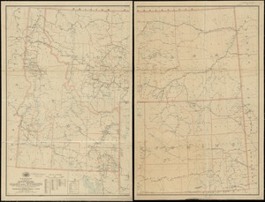
Post route map of the states of Montana, Idaho and Wyoming showing post offices with the intermediate distances and mail routes...
‹ Prev
Next ›
1
2
…
337
338
339
340
341
342
343
344
345
…
436
437