Toggle navigation
LMEC Home
Exhibitions
Georeferencing
Tools for Teachers
Collections
My Favorites
Sign Up / Log In
Search
Search the map portal
Map Collection
Map Collection
Map Sets
Search
Search
Search for
Search In
All Fields
Creator
Title
Subject
Place
Search All Digital Collections
Advanced Search
8941 Results
My Search
Start Over
More Like
commonwealth:w9505s72w
Remove constraint More Like: commonwealth:w9505s72w
Filter your Search
Place
North and Central America
6,092
United States
4,936
Massachusetts
2,079
Europe
1,396
Suffolk (county)
1,046
Boston
1,019
Canada
503
Asia
441
more
Place
»
Topic
Boston (Mass.)--Maps
586
United States--Maps
282
North America--Maps--Early works to 1800
240
Real property--Massachusetts--Boston--Maps
175
Massachusetts--Maps
162
Landowners--Massachusetts--Boston--Maps
133
United States--Maps--Early works to 1800
103
New England--Maps
102
more
Topic
»
Date
Date range begin
–
Date range end
Current results range from
1482
to
2023
View distribution
Creator
United States. Hydrographic Office
595
O.H. Bailey & Co
148
Des Barres, Joseph F. W. (Joseph Frederick Wallet), 1722-1824
123
United States. Post Office Dept
120
Ptolemy, 2nd cent
100
Jefferys, Thomas, -1771
95
Walling, Henry Francis, 1825-1888
94
Sayer, Robert, 1725-1794
87
more
Creator
»
Format
Maps/Atlases
8,881
Manuscripts
219
Prints
56
Books
36
Objects/Artifacts
10
Drawings/Illustrations
8
Posters
5
Georeferenced
Yes
874
No
8,067
Collection
Norman B. Leventhal Map & Education Center Collection
8,706
Boston and New England Maps
2,234
Urban Maps
2,023
Maritime Charts and Atlases
1,083
American Revolutionary War-Era Maps
845
MacLean Collection Map Library
126
Boston Redevelopment Authority Collection
87
New York Public Library Collection
46
more
Collection
»
Available to use
No known restrictions
8,558
Creative Commons license
140
Search Constraints
Sort by relevance
relevance
title
date (asc)
date (desc)
Number of results to display per page
20 per page
10
per page
20
per page
50
per page
100
per page
View results as:
grid view
map view
Search Results
1901.
City of Boston zoning map
1902.
City of Brockton
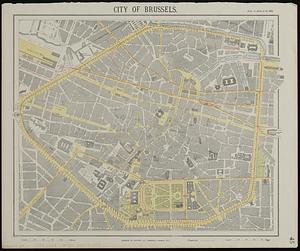
1903.
City of Brussels
1904.
City of Butte : indexed map showing Butte and vicinity with location of mines, schools, public buildings, streets, etc
1905.
City of Cambridge, Mass : 1877
1906.
City of Chelsea with the location of its churches, schools and principal industries
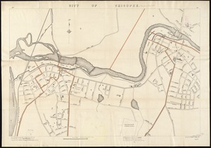
1907.
City of Chicopee
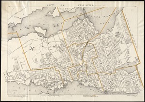
1908.
City of Fall River
1909.
City of Fall River, Mass : 1877
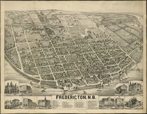
1910.
City of Fredericton, N.B
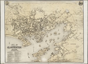
1911.
City of Gloucester, Mass
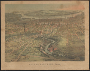
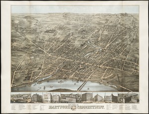
1912.
City of Hartford, Conn.
1913.
The city of Hartford Connecticut : 1877
1914.
City of Haverhill, Massachusetts
1915.
The city of Hoboken : New Jersey, 1881
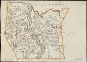
1916.
City of Lawrence
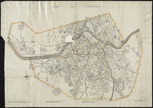
1917.
City of Lowell
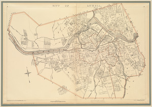
1918.
City of Lowell
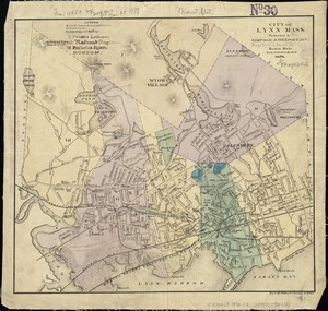
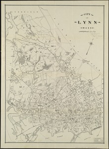
1919.
City of Lynn, Mass
1920.
City of Lynn, Mass
‹ Prev
Next ›
1
2
…
92
93
94
95
96
97
98
99
100
…
447
448