Toggle navigation
LMEC Home
Exhibitions
Georeferencing
Tools for Teachers
Collections
My Favorites
Sign Up / Log In
Search
Search the map portal
Map Collection
Map Collection
Map Sets
Search
Search
Search for
Search In
All Fields
Creator
Title
Subject
Place
Search All Digital Collections
Advanced Search
8811 Results
My Search
Start Over
More Like
commonwealth:w9505s62n
Remove constraint More Like: commonwealth:w9505s62n
Filter your Search
Place
North and Central America
6,011
United States
4,927
Massachusetts
2,079
Europe
1,396
Suffolk (county)
1,046
Boston
1,019
Canada
501
Asia
438
more
Place
»
Topic
Boston (Mass.)--Maps
586
United States--Maps
282
Real property--Massachusetts--Boston--Maps
175
Massachusetts--Maps
162
Landowners--Massachusetts--Boston--Maps
133
North America--Maps--Early works to 1800
111
United States--Maps--Early works to 1800
103
New England--Maps
102
more
Topic
»
Date
Date range begin
–
Date range end
Current results range from
1482
to
2023
View distribution
Creator
United States. Hydrographic Office
595
O.H. Bailey & Co
148
Des Barres, Joseph F. W. (Joseph Frederick Wallet), 1722-1824
123
United States. Post Office Dept
120
Ptolemy, 2nd cent
100
Walling, Henry Francis, 1825-1888
94
Jefferys, Thomas, -1771
88
Geological Survey (U.S.)
86
more
Creator
»
Format
Maps/Atlases
8,751
Manuscripts
217
Prints
56
Books
36
Objects/Artifacts
10
Drawings/Illustrations
8
Posters
5
Georeferenced
Yes
872
No
7,939
Collection
Norman B. Leventhal Map & Education Center Collection
8,696
Boston and New England Maps
2,233
Urban Maps
2,023
Maritime Charts and Atlases
1,083
American Revolutionary War-Era Maps
729
Boston Redevelopment Authority Collection
87
MacLean Collection Map Library
67
New York Public Library Collection
16
more
Collection
»
Available to use
No known restrictions
8,556
Creative Commons license
81
Search Constraints
Sort by relevance
relevance
title
date (asc)
date (desc)
Number of results to display per page
20 per page
10
per page
20
per page
50
per page
100
per page
View results as:
grid view
map view
Search Results
2181.
A draught of the harbour of Hallifax and the adjacent coast in Nova Scotia
2182.
A draught of Virginia from the Capes to York in York River and to Kuiquotan or Hamton in James River
2183.
Dresden
2184.
Driscoll & Knight's map of the City of Edmonton, Province of Alberta
2185.
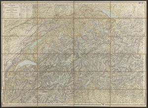
Dritte karte der Schweiz = Troisième carte de la Suisse = Terza carta della Suizzera
2186.
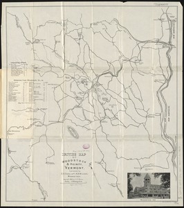
Driving map of Woodstock & vicinity, Vermont
2187.
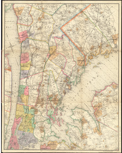
Driving road chart of the country surrounding New York City : embracing the counties (or portions thereof) of New York, Kings,...
2188.
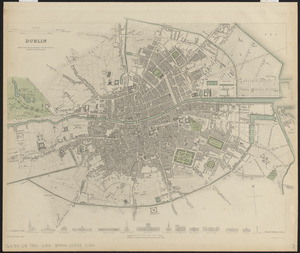
Dublin
2189.
Dublin
2190.
Ducato di Ferrara
2191.
Ducatus Angolismensis = Le Duche d'Angovlesme
2192.
Ducatus Bremae & Ferdae maximaque partis fluminis Visurgis descriptio
2193.
Ducatus Brunsvicensis fere[que] Lunaeburgensis, cum adjacentibus Episcopatibus, Comit. Domin. etc., descriptio geographica
2194.
Ducatus Chablasius et Lacus Lemanus cum regionibus adjacentibus
2195.
Ducatus Eboracensis, anglice Yorkshire
2196.
Ducatus Eboracensis pars borealis = the Northridinge of Yorkeshire
2197.
Ducatus Eboracensis pars occidentalis = the Westriding of York Shire
2198.
Ducatus Eboracensis pars orientalis = The Eastriding of Yorke Shire
2199.
Ducatus Geldriae Tetrachia Arnhemiensis sive Velavia
2200.
Ducatus Holsatiae, summa diligentia accurataque censura noviter
‹ Prev
Next ›
1
2
…
106
107
108
109
110
111
112
113
114
…
440
441


![Ducatus Brunsvicensis fere[que] Lunaeburgensis, cum adjacentibus Episcopatibus, Comit. Domin. etc., descriptio geographica](https://bpldcassets.blob.core.windows.net/derivatives/images/commonwealth:cj82kr74v/image_thumbnail_300.jpg)