Toggle navigation
LMEC Home
Exhibitions
Georeferencing
Tools for Teachers
Collections
My Favorites
Sign Up / Log In
Search
Search the map portal
Map Collection
Map Collection
Map Sets
Search
Search
Search for
Search In
All Fields
Creator
Title
Subject
Place
Search All Digital Collections
Advanced Search
9088 Results
My Search
Start Over
More Like
commonwealth:t722mh264
Remove constraint More Like: commonwealth:t722mh264
Filter your Search
Place
North and Central America
6,319
United States
5,237
Massachusetts
2,151
Suffolk (county)
1,439
Boston
1,412
Europe
1,396
Canada
449
Asia
438
more
Place
»
Topic
Boston (Mass.)--Maps
685
City planning--Massachusetts--Boston--Maps
418
United States--Maps
282
Real property--Massachusetts--Boston--Maps
253
Urban renewal--Massachusetts--Boston--Maps
253
Landowners--Massachusetts--Boston--Maps
169
Massachusetts--Maps
162
Buildings--Massachusetts--Boston--Maps
124
more
Topic
»
Date
Date range begin
–
Date range end
Current results range from
1482
to
2023
1482 : 2024
1482
2024
View distribution
Creator
United States. Hydrographic Office
595
Boston Redevelopment Authority
392
O.H. Bailey & Co
148
Des Barres, Joseph F. W. (Joseph Frederick Wallet), 1722-1824
123
United States. Post Office Dept
120
Ptolemy, 2nd cent
100
Walling, Henry Francis, 1825-1888
94
Geological Survey (U.S.)
86
more
Creator
»
Format
Maps/Atlases
9,028
Manuscripts
215
Prints
56
Books
36
Objects/Artifacts
10
Drawings/Illustrations
8
Posters
5
Georeferenced
Yes
869
No
8,219
Collection
Norman B. Leventhal Map & Education Center Collection
8,695
Boston and New England Maps
2,591
Urban Maps
2,379
Maritime Charts and Atlases
1,083
American Revolutionary War-Era Maps
616
Boston Redevelopment Authority Collection
445
Massachusetts Real Estate Atlases
35
Applied Geographics, Inc. Records
1
Available to use
No known restrictions
8,911
Creative Commons license
47
Search Constraints
Sort by relevance
relevance
title
date (asc)
date (desc)
Number of results to display per page
20 per page
10
per page
20
per page
50
per page
100
per page
View results as:
grid view
map view
Search Results
7201.
Post route map of the states of New Hampshire, Vermont, Massachusetts, Rhode Island, Connecticut and parts of New York and...
7202.
Post route map of the states of New Hampshire, Vermont, Massachusetts, Rhode Island, Connecticut, and parts of New York and Maine
7203.
Post route map of the states of New Hampshire, Vermont, Massachusetts, Rhode Island, Connecticut, and parts of New York and Maine
7204.
Post route map of the states of New Hampshire, Vermont, Massachusetts, Rhode Island, Connecticut showing post offices with the...
7205.
Post route map of the states of New Hampshire, Vermont showing post offices with the intermediate distances on mail routes in...
7206.
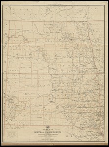
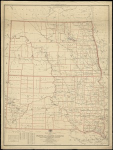
Post route map of the states of North and South Dakota with adjacent parts of Montana, Wyoming, Nebraska, Iowa and Minnesota...
7207.
Post route map of the states of North and South Dakota with adjacent parts of Montana, Wyoming, Nebraska, Iowa and Minnesota...
7208.
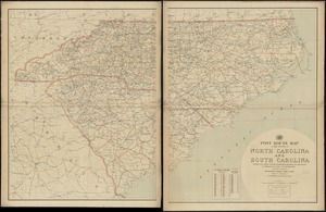
Post route map of the states of North Carolina and South Carolina showing post offices with the intermediate distances and mail...
7209.
Post route map of the states of North Carolina and South Carolina showing post offices with the intermediate distances and mail...
7210.
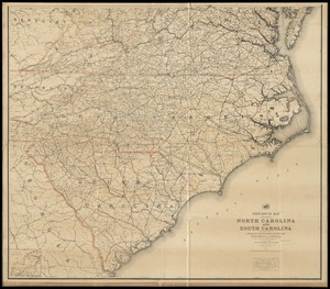
Post route map of the states of North Carolina and South Carolina with adjacent parts of Georgia, Tennessee, Kentucky, West...
7211.
Post route map of the states of Ohio and Indiana with adjacent parts of Pennsylvania, Michigan, Illinois, Kentucky and West...
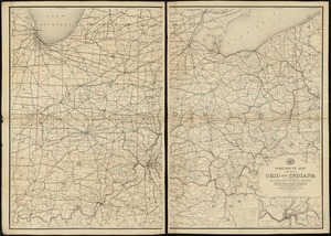
7212.
Post route map of the states of Ohio and Indiana with adjacent parts of Pennsylvania, Michigan, Illinois, Kentucky and West...
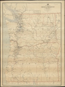
7213.
Post route map of the states of Oregon and Washington with adjacent states of Idaho, Nevada, California and British Columbia :...
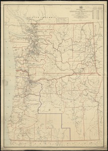
7214.
Post route map of the states of Oregon and Washington with adjacent states of Idaho, Nevada, California and British Columbia :...
7215.
Post route map of the states of Pennsylvania, New Jersey, Delaware, and Maryland and of the District of Columbia with adjacent...
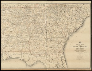
7216.
Post route map of the States of South Carolina and Georgia with adjacent parts of North Carolina, Tennessee, Alabama and...
7217.
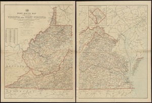
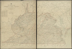
Post route map of the states of Virginia and West Virginia showing post offices with the intermediate distances and mail routes...
7218.
Post route map of the states of Virginia and West Virginia showing post offices with the intermediate distances on mail routes...
7219.
Post route map of the states of Virginia and West Virginia showing post offices with the intermediate distances on mail routes...
7220.
Post route map of the states of Virginia and West Virginia together with Maryland and Delaware with adjacent parts of...
+
-
Redo search here
Search when I move the map
Leaflet
| ©
OpenStreetMap
contributors, ©
CartoDB
‹ Prev
Next ›
1
2
…
357
358
359
360
361
362
363
364
365
…
454
455