Toggle navigation
LMEC Home
Exhibitions
Georeferencing
Tools for Teachers
Collections
My Favorites
Sign Up / Log In
Search
Search the map portal
Map Collection
Map Collection
Map Sets
Search
Search
Search for
Search In
All Fields
Creator
Title
Subject
Place
Search All Digital Collections
Advanced Search
9057 Results
My Search
Start Over
More Like
commonwealth:rv045b15k
Remove constraint More Like: commonwealth:rv045b15k
Filter your Search
Place
North and Central America
6,288
United States
5,206
Massachusetts
2,152
Suffolk (county)
1,408
Europe
1,396
Boston
1,381
Canada
449
Asia
438
more
Place
»
Topic
Boston (Mass.)--Maps
680
City planning--Massachusetts--Boston--Maps
418
United States--Maps
282
Urban renewal--Massachusetts--Boston--Maps
253
Real property--Massachusetts--Boston--Maps
221
Massachusetts--Maps
162
Landowners--Massachusetts--Boston--Maps
140
North America--Maps--Early works to 1800
103
more
Topic
»
Date
Date range begin
–
Date range end
Current results range from
1482
to
2023
View distribution
Creator
United States. Hydrographic Office
595
Boston Redevelopment Authority
393
O.H. Bailey & Co
148
Des Barres, Joseph F. W. (Joseph Frederick Wallet), 1722-1824
123
United States. Post Office Dept
120
Ptolemy, 2nd cent
100
Walling, Henry Francis, 1825-1888
94
Geological Survey (U.S.)
86
more
Creator
»
Format
Maps/Atlases
8,997
Manuscripts
215
Prints
56
Books
36
Objects/Artifacts
10
Drawings/Illustrations
8
Posters
5
Georeferenced
Yes
869
No
8,188
Collection
Norman B. Leventhal Map & Education Center Collection
8,696
Boston and New England Maps
2,590
Urban Maps
2,376
Maritime Charts and Atlases
1,083
American Revolutionary War-Era Maps
616
Boston Redevelopment Authority Collection
442
Massachusetts Real Estate Atlases
5
Applied Geographics, Inc. Records
1
more
Collection
»
Available to use
No known restrictions
8,910
Creative Commons license
47
Search Constraints
Sort by relevance
relevance
title
date (asc)
date (desc)
Number of results to display per page
20 per page
10
per page
20
per page
50
per page
100
per page
View results as:
grid view
map view
Search Results
121.
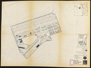
Back Bay urban renewal area r-47 : existing land use
122.
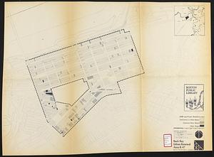
Back Bay urban renewal area r-47 : building conditions
123.
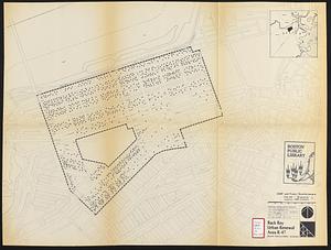
Back Bay urban renewal area r-47 : existing population density
124.
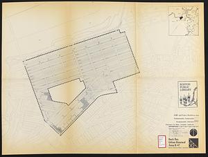
Back Bay urban renewal area r-47 : proposed treatment and title 1 projects
125.
Back Bay urban renewal area r-47 : existing and proposed community facilities
126.
Back Bay zoning district map
127.
Basement plan of terminal station at Boston, Massachusetts, for the N.Y.N.H & H. and B. & A. railroads
128.
Boston Harbor : challenges and opportunities for the 1980's
129.
Boston thorofare plan existing routes and proposals
130.
Campus High School urban renewal area Mass. r- : locality map blighted areas
131.
Campus High School urban renewal area Mass. r- : locality map important features
132.
Campus High School urban renewal area, Mass. r- : land disposition map
133.
Campus High School urban renewal area Mass. r- : existing land use
134.
Campus High School urban renewal area Mass. r- : building conditions
135.
Campus High School urban renewal area Mass. r-129 : proposed land-use
136.
Campus High School urban renewal area Mass. r-129 : property map
137.
Campus High School urban renewal area Mass. r-129 : disposition parcels
138.
Campus High School urban renewal area Mass. r-129 : existing land-use
139.
Campus High School urban renewal area Mass. r-129 : existing and proposed zoning
140.
Central business district project no Mass r- : existing land use
‹ Prev
Next ›
1
2
3
4
5
6
7
8
9
10
11
…
452
453