Search Constraints
Search Results


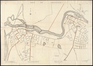
1783. City of Chicopee
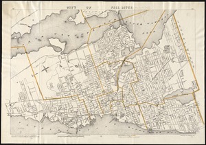
1784. City of Fall River

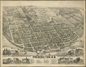
1786. City of Fredericton, N.B
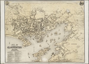
1787. City of Gloucester, Mass
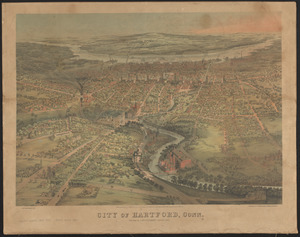
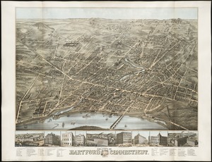
1788. City of Hartford, Conn.
1792. City of Lawrence
1793. City of Lowell
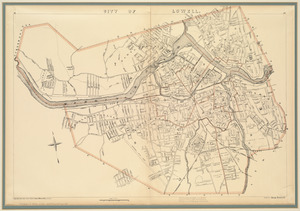
1794. City of Lowell
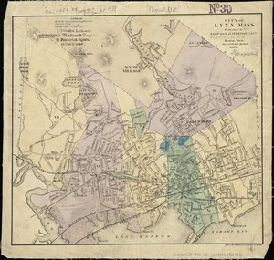
1795. City of Lynn, Mass
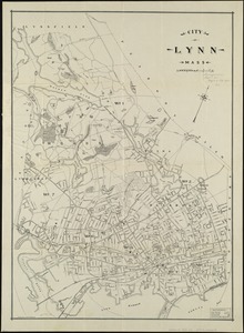
1796. City of Lynn, Mass
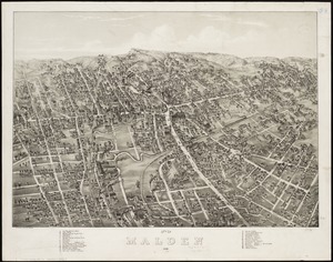
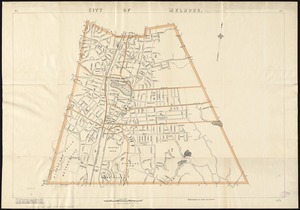
1797. City of Malden : 1881
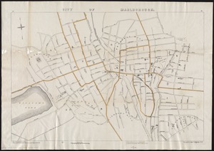
1798. City of Marlborough