Toggle navigation
LMEC Home
Exhibitions
Georeferencing
Tools for Teachers
Collections
My Favorites
Sign Up / Log In
Search
Search the map portal
Map Collection
Map Collection
Map Sets
Search
Search
Search for
Search In
All Fields
Creator
Title
Subject
Place
Search All Digital Collections
Advanced Search
336 Results
My Search
Start Over
More Like
commonwealth:q524mv071
Remove constraint More Like: commonwealth:q524mv071
Filter your Search
Place
North and Central America
269
United States
198
New York
63
Canada
33
Suffolk (county)
31
Boston
29
North America
28
New Jersey
21
more
Place
»
Topic
New York (State)--Maps--Early works to 1800
34
North America--Maps--Early works to 1800
19
Boston (Mass.)--History--Revolution, 1775-1783--Maps--Early works to 1800
16
New England--Maps--Early works to 1800
15
New Jersey--Maps--Early works to 1800
15
Northeastern States--Maps--Early works to 1800
12
Québec (Province)--Maps--Early works to 1800
10
Vues d'optique
10
more
Topic
»
Date
Date range begin
–
Date range end
Current results range from
1636
to
1799
View distribution
Creator
Faden, William, 1749-1836
36
Jefferys, Thomas, -1771
31
Le Rouge, Georges-Louis
26
Des Barres, Joseph F. W. (Joseph Frederick Wallet), 1722-1824
21
Sayer, Robert, 1725-1794
21
Korn, Christoph Heinrich, 1726-1783
11
Raspe, Gabriel Nicolaus, 1712-1785
11
Simcoe, John Graves, 1752-1806
10
more
Creator
»
Format
Maps/Atlases
293
Prints
32
Manuscripts
23
Drawings/Illustrations
9
Books
2
Georeferenced
Yes
15
No
321
Collection
American Revolutionary War-Era Maps
326
Richard H. Brown Revolutionary War Map Collection at Mount Vernon
293
Norman B. Leventhal Map & Education Center Collection
20
MacLean Collection Map Library
10
New York Public Library Collection
9
Boston and New England Maps
5
Maritime Charts and Atlases
3
Mapping Boston Collection
2
more
Collection
»
Available to use
Creative Commons license
306
No known restrictions
18
Search Constraints
Sort by relevance
relevance
title
date (asc)
date (desc)
Number of results to display per page
20 per page
10
per page
20
per page
50
per page
100
per page
View results as:
grid view
map view
Search Results
41.
Province de New-York en 4. feuilles
42.
Province de New-York en 4. feuilles
43.
Province de New-York en 4. feuilles par Montresor
44.
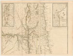
The provinces of New York, and New Jersey; with part of Pensilvania, and the governments of Trois Rivières, and Montreal
45.
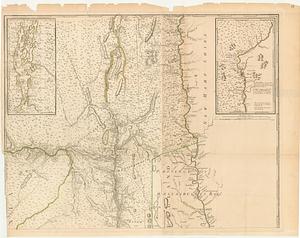
The provinces of New York, and New Jersey; with part of Pensilvania, and the governments of Trois Rivieres, and Montreal
46.
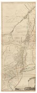
The southern part of the Province of New York : with part of the adjoining colonies
47.
The state of New York, compiled from the most authentic information, 1796
48.
[A map of part of Pennsylvania & Maryland intended to shew, at one view, the several places proposed for opening a...
49.
Abriss der stadt Gibraltar und der darinn befindlichen festen platze, nebst dem meerbusen von Algesiras
50.
An accurate map of His Majesty's province of New-Hampshire in New England : taken from actual surveys of all the inhabited...
51.
An accurate map of Staten Island : with that part of New York, Long Island and the Jerseys, which is the rendesvous of the two...
52.
An accurate map of the country round Boston in New England from the best authorities
53.
Action at Spencer's ordinary : June 26th. 1781
54.
Affair at Quintin's Bridge : 18th March 1778
55.
Allgemeine charte von Nord America als den sitz des krieges zwischen den Konigl. Engl. truppen u:den provinzialen
56.
Ambuscade of the Indians at Kingsbridge : August 31st. 1778
57.
L'Amerique divisée en septentrionale et méridionale, subdivisée en ses principales parties, dressée sur les relations les...
58.
L'Amerique divisée en ses principaux États
59.
L'Amerique Septentrionale
60.
Amérique septentrionale avec les routes, distances en miles, limites et etablissements françois et anglois
‹ Prev
Next ›
1
2
3
4
5
6
7
…
16
17


![[A map of part of Pennsylvania & Maryland intended to shew, at one view, the several places proposed for opening a communication between the waters of the Delaware & Chesopeak Bays]](https://bpldcassets.blob.core.windows.net/derivatives/images/commonwealth:z603vt12v/image_thumbnail_300.jpg)


