Toggle navigation
LMEC Home
Exhibitions
Georeferencing
Tools for Teachers
Collections
My Favorites
Sign Up / Log In
Search
Search the map portal
Map Collection
Map Collection
Map Sets
Search
Search
Search for
Search In
All Fields
Creator
Title
Subject
Place
Search All Digital Collections
Advanced Search
262 Results
My Search
Start Over
More Like
commonwealth:pr76n695t
Remove constraint More Like: commonwealth:pr76n695t
Filter your Search
Place
North and Central America
177
United States
177
Europe
85
France
56
Belgium
18
Germany
18
California
15
Texas
12
more
Place
»
Topic
France--Maps
56
Belgium--Maps
17
Germany--Maps
17
Franco-Prussian War, 1870-1871--Maps
14
Greece--Maps
13
Netherlands--Maps
9
Aeronautical charts--California
8
Airports--California--Maps
7
more
Topic
»
Date
Date range begin
–
Date range end
Current results range from
1720
to
2018
View distribution
Creator
United States. National Ocean Service
168
Gross, Alexander, 1879-1958
8
National Ocean Survey
6
Carey, Mathew, 1760-1839
5
Chatelain, Henri Abraham
3
G.W. Bacon & Co.
3
Geographisches Institut (Weimar, Thuringia, Germany)
3
Gueudeville, Nicolas, approximately 1654-approximately 1721
3
more
Creator
»
Format
Maps/Atlases
259
Books
3
Georeferenced
Yes
5
No
257
Collection
U.S. Government Documents Maps Collection
180
Norman B. Leventhal Map & Education Center Collection
82
Boston and New England Maps
6
Maritime Charts and Atlases
1
Available to use
No known restrictions
262
Search Constraints
Sort by relevance
relevance
title
date (asc)
date (desc)
Number of results to display per page
20 per page
10
per page
20
per page
50
per page
100
per page
View results as:
grid view
map view
Search Results
121.
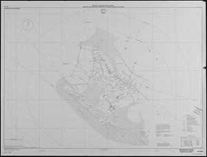
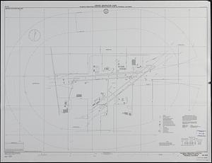
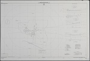
Airport obstruction chart : OC 294, Metropolitan Oakland International Airport, Oakland, California
122.
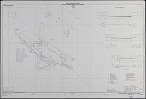
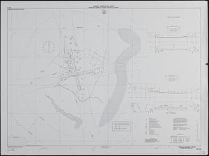
Airport obstruction chart : OC 292, North Platte Regional Airport, North Platte, Nebraska
123.
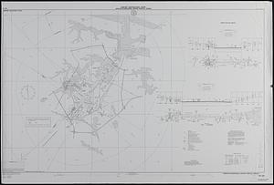
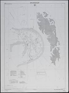
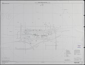
Airport obstruction chart : Norfolk International Airport, Norfolk, Virginia
124.
Airport obstruction chart : OC 294, Metropolitan Oakland International Airport, Oakland, California
125.
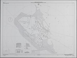
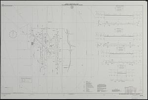
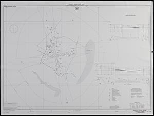
Airport obstruction chart : OC 297, Ogden-Hinckley Airport, Ogden, Utah
126.
Airport obstruction chart : OC 302, Johnson County Industrial Airport, Olathe, Kansas
127.
Airport obstruction chart : OC 301, Will Rogers World Airport, Oklahoma City, Oklahoma
128.
Airport obstruction chart : OC 297, Ogden-Hinkley Airport, Ogden, Utah
129.
Airport obstruction chart : OC 310, Palmdale Production Flight/Test Installation AF Plant 42, Palmdale, California
130.
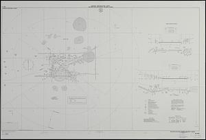
Airport obstruction chart : OC 304, Eppley Airfield, Omaha, Nebraska
131.
Airport obstruction chart : OC 301, Will Rogers World Airport, Oklahoma City, Oklahoma
132.
Airport obstruction chart, : OC 305, Orlando Executive Airport, Orlando, Florida
133.
Airport obstruction chart : OC 316, Pendleton Municipal Airport, Pendleton, Oregon
134.
Airport obstruction chart : OC 318, Pensacola Regional Airport, Pensacola, Florida
135.
Airport obstruction chart : OC 322, Phoenix Sky Harbor International Airport, Phoenix, Arizona
136.
Airport obstruction chart : OC 318, Pensacola Regional Airport, Pensacola, Florida
137.
Airport obstruction chart : OC 219, La Crosse Municipal Airport, La Crosse, Wisconsin
138.
Airport obstruction chart : OC 218, McGhee-Tyson Airport, Knoxville, Tennessee
139.
Airport obstruction chart : OC 203, Indianapolis International Airport, Indianapolis, Indiana
140.
Airport obstruction chart : OC 217, Kirksville Regional Airport, Kirksville, Missouri
‹ Prev
Next ›
1
2
3
4
5
6
7
8
9
10
11
…
13
14