Toggle navigation
LMEC Home
Exhibitions
Georeferencing
Tools for Teachers
Collections
My Favorites
Sign Up / Log In
Search
Search the map portal
Map Collection
Map Collection
Map Sets
Search
Search
Search for
Search In
All Fields
Creator
Title
Subject
Place
Search All Digital Collections
Advanced Search
262 Results
My Search
Start Over
More Like
commonwealth:pr76n695t
Remove constraint More Like: commonwealth:pr76n695t
Filter your Search
Place
North and Central America
177
United States
177
Europe
85
France
56
Belgium
18
Germany
18
California
15
Texas
12
more
Place
»
Topic
France--Maps
56
Belgium--Maps
17
Germany--Maps
17
Franco-Prussian War, 1870-1871--Maps
14
Greece--Maps
13
Netherlands--Maps
9
Aeronautical charts--California
8
Airports--California--Maps
7
more
Topic
»
Date
Date range begin
–
Date range end
Current results range from
1720
to
2018
View distribution
Creator
United States. National Ocean Service
168
Gross, Alexander, 1879-1958
8
National Ocean Survey
6
Carey, Mathew, 1760-1839
5
Chatelain, Henri Abraham
3
G.W. Bacon & Co.
3
Geographisches Institut (Weimar, Thuringia, Germany)
3
Gueudeville, Nicolas, approximately 1654-approximately 1721
3
more
Creator
»
Format
Maps/Atlases
259
Books
3
Georeferenced
Yes
5
No
257
Collection
U.S. Government Documents Maps Collection
180
Norman B. Leventhal Map & Education Center Collection
82
Boston and New England Maps
6
Maritime Charts and Atlases
1
Available to use
No known restrictions
262
Search Constraints
Sort by relevance
relevance
title
date (asc)
date (desc)
Number of results to display per page
20 per page
10
per page
20
per page
50
per page
100
per page
View results as:
grid view
map view
Search Results
101.
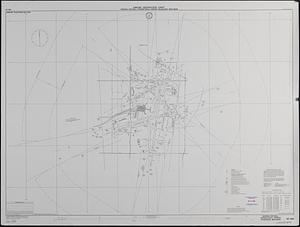
Airport obstruction chart : OC 198, William P. Hobby Airport, Houston, Texas
102.
Airport obstruction chart : OC 198, William P. Hobby Airport, Houston, Texas
103.
Airport obstruction chart : OC 261, Millinocket Municipal Airport, Millinocket, Maine
104.
Airport obstruction chart : OC 262, General Mitchell International Airport, Milwaukee, Wisconsin
105.
Airport obstruction chart : OC 263, St. Paul Downtown Holman Field, St. Paul, Minnesota
106.
Airport obstruction chart : Minneapolis-St. Paul International (Wold-Chamberlain) Airport, Minneapolis, Minnesota
107.
Airport obstruction chart : OC 258, Midland International Airport, Midland, Texas
108.
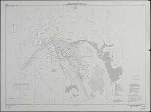
Airport obstruction chart : OC 267, Mobile Regional Airport, Mobile, Alabama
109.
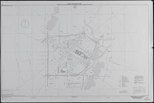
Airport obstruction chart : Monterey Peninsula Airport, Monterey, California
110.
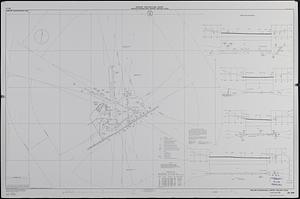
Airport obstruction chart : Muskegon County Airport, Muskegon, Michigan
111.
Airport obstruction chart : OC 269, Quad-City Airport, Moline, Illinois
112.
Airport obstruction chart : OC 272, Dannelly Field, Montgomery, Alabama
113.
Airport obstruction chart : Muscle Shoals Regional Airport, Muscle Shoals, Alabama
114.
Airport obstruction chart : OC 280, Myrtle Beach Jetport, Myrtle Beach, South Carolina
115.
Airport obstruction chart : OC 282, Nashville International Airport, Nashville, Tennessee
116.
Airport obstruction chart : OC 288, Lake Front Airport, New Orleans, Louisiana
117.
Airport obstruction chart : OC 285, Newark International Airport, Newark, New Jersey
118.
Airport obstruction chart : OC 281, Napa County Airport, Napa, California
119.
Airport obstruction chart : OC 289, La Guardia Airport, New York, New York
120.
Airport obstruction chart : OC 286, Dutchess County Airport, Poughkeepsie, New York
‹ Prev
Next ›
1
2
3
4
5
6
7
8
9
10
…
13
14