Toggle navigation
LMEC Home
Exhibitions
Georeferencing
Tools for Teachers
Collections
My Favorites
Sign Up / Log In
Search
Search the map portal
Map Collection
Map Collection
Map Sets
Search
Search
Search for
Search In
All Fields
Creator
Title
Subject
Place
Search All Digital Collections
Advanced Search
183 Results
My Search
Start Over
More Like
commonwealth:ns069g065
Remove constraint More Like: commonwealth:ns069g065
Filter your Search
Place
North and Central America
179
United States
179
California
15
Texas
12
Florida
9
Montana
9
Ohio
8
Michigan
7
more
Place
»
Topic
Aeronautical charts--California
8
Airports--California--Maps
7
Aeronautical charts--Florida
6
Aeronautical charts--Texas
6
Airports--Texas--Maps
6
Airports--Florida--Maps
5
Runways (Aeronautics)--California
5
Aeronautical charts--New York (State)
4
more
Topic
»
Date
Date range begin
–
Date range end
Current results range from
1720
to
2018
View distribution
Creator
United States. National Ocean Service
168
National Ocean Survey
6
Chatelain, Henri Abraham
4
Gueudeville, Nicolas, approximately 1654-approximately 1721
4
Boston Redevelopment Authority
2
Chatelain, Zacharias, 1690-1754
2
l'Honoré & Châtelain
2
Boston (Mass.). City Planning Board
1
more
Creator
»
Format
Maps/Atlases
179
Books
4
Georeferenced
No
183
Collection
U.S. Government Documents Maps Collection
180
Boston and New England Maps
8
Urban Maps
3
Boston Redevelopment Authority Collection
2
Norman B. Leventhal Map & Education Center Collection
2
Available to use
No known restrictions
183
Search Constraints
Sort by relevance
relevance
title
date (asc)
date (desc)
Number of results to display per page
20 per page
10
per page
20
per page
50
per page
100
per page
View results as:
grid view
map view
Search Results
121.
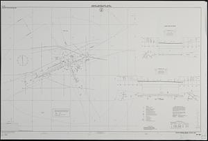
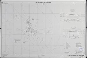
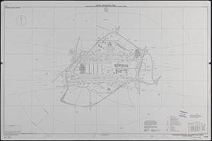
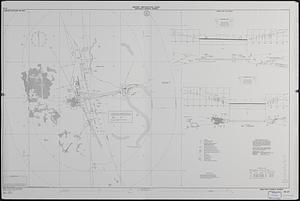
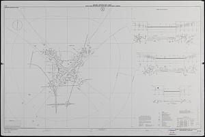
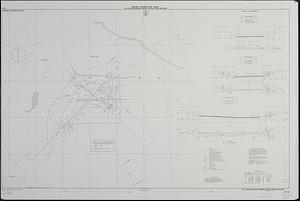
Airport obstruction chart OC 173, Central Nebraska Regional Airport, Grand Island, Nebraska
122.
Airport obstruction chart OC 175, Great Bend Municipal Airport, Great Bend, Kansas
123.
Airport obstruction chart OC 177, Great Falls International Airport, Great Falls, Montana
124.
Airport obstruction chart OC 178, Greensboro-Highpoint-Winston Salem Regional Airport, Greensboro, North Carolina
125.
Airport obstruction chart OC 178, Piedmont Triad International Airport, Greensboro, North Carolina
126.
Airport obstruction chart OC 18, San Luis Valley Regional/Bergman Field, Alamosa, Colorado
127.
Airport obstruction chart OC 180, Greenville Downtown Airport, Greenville, South Carolina
128.
Airport obstruction chart OC 181, Greenwood-Leflore Airport, Greenwood, Mississippi
129.
Airport obstruction chart OC 184, Toledo Express Airport, Toledo, Ohio
130.
Airport obstruction chart OC 20, Edwin A. Link Field-Broome County Airport, Binghamton, New York
131.
Airport obstruction chart OC 22, Ardmore Municipal Airport, Ardmore, Oklahoma
132.
Airport obstruction chart OC 26, The William B. Hartsfield Atlanta International Airport, Georgia
133.
Airport obstruction chart OC 27, Bush Field, Augusta, Georgia
134.
Airport obstruction chart OC 29, Augusta State Airport, Augusta, Maine
135.
Airport obstruction chart OC 34, Jack McNamara Field, Crescent City, California
136.
Airport obstruction chart OC 34, Jack McNamara Field, Crescent City, California
137.
Airport obstruction chart OC 36, Meadows Field, Bakersfield, California
138.
Airport obstruction chart OC 39, Bangor International Airport, Bangor, Maine
139.
Airport obstruction chart OC 40, Baton Rouge Metropolitan, Ryan Field, Baton Rouge, Louisiana
140.
Airport obstruction chart OC 41, W.K. Kellogg Regional Airport, Battle Creek, Michigan
‹ Prev
Next ›
1
2
3
4
5
6
7
8
9
10