Toggle navigation
LMEC Home
Exhibitions
Georeferencing
Tools for Teachers
Collections
My Favorites
Sign Up / Log In
Search
Search the map portal
Map Collection
Map Collection
Map Sets
Search
Search
Search for
Search In
All Fields
Creator
Title
Subject
Place
Search All Digital Collections
Advanced Search
183 Results
My Search
Start Over
More Like
commonwealth:ns069g065
Remove constraint More Like: commonwealth:ns069g065
Filter your Search
Place
North and Central America
179
United States
179
California
15
Texas
12
Florida
9
Montana
9
Ohio
8
Michigan
7
more
Place
»
Topic
Aeronautical charts--California
8
Airports--California--Maps
7
Aeronautical charts--Florida
6
Aeronautical charts--Texas
6
Airports--Texas--Maps
6
Airports--Florida--Maps
5
Runways (Aeronautics)--California
5
Aeronautical charts--New York (State)
4
more
Topic
»
Date
Date range begin
–
Date range end
Current results range from
1720
to
2018
View distribution
Creator
United States. National Ocean Service
168
National Ocean Survey
6
Chatelain, Henri Abraham
4
Gueudeville, Nicolas, approximately 1654-approximately 1721
4
Boston Redevelopment Authority
2
Chatelain, Zacharias, 1690-1754
2
l'Honoré & Châtelain
2
Boston (Mass.). City Planning Board
1
more
Creator
»
Format
Maps/Atlases
179
Books
4
Georeferenced
No
183
Collection
U.S. Government Documents Maps Collection
180
Boston and New England Maps
8
Urban Maps
3
Boston Redevelopment Authority Collection
2
Norman B. Leventhal Map & Education Center Collection
2
Available to use
No known restrictions
183
Search Constraints
Sort by relevance
relevance
title
date (asc)
date (desc)
Number of results to display per page
20 per page
10
per page
20
per page
50
per page
100
per page
View results as:
grid view
map view
Search Results
61.
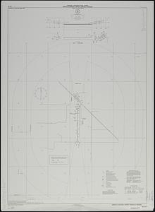
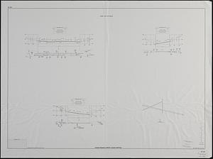
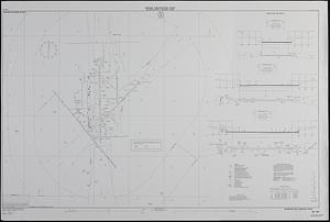
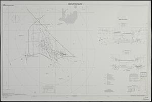
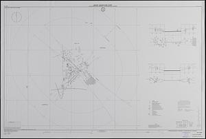
Airport obstruction chart : OC 217, Kirksville Regional Airport, Kirksville, Missouri
62.
Airport obstruction chart : OC 225, Laramie Regional Airport, Laramie, Wyoming
63.
Airport obstruction chart : OC 226, Laredo International Airport, Laredo, Texas
64.
Airport obstruction chart : OC 233, Adams Field, Little Rock, Arkansas
65.
Airport obstruction chart : OC 233, Adams Field, Little Rock, Arkansas
66.
Airport obstruction chart : OC 249, Eastern West Virginia Regional Airport/Shepherd Field, Martinsburg, West Virginia
67.
Airport obstruction chart : OC 245, Dane County Regional--Traux Field, Madison, Wisconsin
68.
Airport obstruction chart : Cedar Rapids Municipal Airport, Cedar Rapids, Iowa
69.
Airport obstruction chart : OC 246, Manchester Airport--Grenier Industrial Airpark, Manchester, New Hampshire
70.
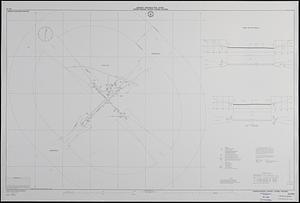
Airport obstruction chart : OC 241, Lubbock International Airport, Lubbock, Texas
71.
Airport obstruction chart : OC 237, Los Angeles International Airport, Los Angeles, California
72.
Airport obstruction chart : OC 241, Lubbock International Airport, Lubbock, Texas
73.
Airport obstruction chart : OC 243, Lewis B. Wilson Airport, Macon, Georgia
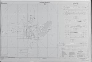
74.
Airport obstruction chart : OC 246, Manchester Airport, Manchester, New Hampshire
75.
Airport obstruction chart : OC 184, Toledo Express Airport, Toledo, Ohio
76.
Airport obstruction chart : OC 192, Helena Regional Airport, Helena, Montana
77.
Airport obstruction chart : OC 192, Helena Regional Airport, Helena, Montana
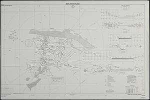
78.
Airport obstruction chart : Ellington Field, Houston, Texas
79.
Airport obstruction chart : OC 206, Hawkins Field, Jackson, Mississippi
80.
Airport obstruction chart : OC 208, Craig Municipal Airport, Jacksonville, Florida
‹ Prev
Next ›
1
2
3
4
5
6
7
8
9
10