Toggle navigation
LMEC Home
Exhibitions
Georeferencing
Tools for Teachers
Collections
My Favorites
Sign Up / Log In
Search
Search the map portal
Map Collection
Map Collection
Map Sets
Search
Search
Search for
Search In
All Fields
Creator
Title
Subject
Place
Search All Digital Collections
Advanced Search
489 Results
My Search
Start Over
More Like
commonwealth:n8712578b
Remove constraint More Like: commonwealth:n8712578b
Filter your Search
Place
North and Central America
486
United States
483
Suffolk (county)
475
Boston
474
Massachusetts
175
South End
61
Roxbury
49
Downtown Boston
40
more
Place
»
Topic
City planning--Massachusetts--Boston--Maps
418
Urban renewal--Massachusetts--Boston--Maps
253
Boston (Mass.)--Maps
134
Land use--Massachusetts--Boston--Maps
102
Buildings--Massachusetts--Boston--Maps
81
South End (Boston, Mass.)--Maps
56
Real property--Massachusetts--Boston--Maps
55
Roxbury (Boston, Mass.)--Maps
45
more
Topic
»
Date
Date range begin
–
Date range end
Current results range from
1835
to
2016
View distribution
Creator
Boston Redevelopment Authority
368
Downtown Waterfront Corporation
10
Victor Gruen Associates
10
Boston (Mass.). Parks and Recreation Department
9
Sasaki Associates
6
Boston (Mass.). Department of Parks
5
Charles A. Maguire and Associates
5
Davis, Thomas W., surveyor
5
more
Creator
»
Format
Maps/Atlases
488
Drawings/Illustrations
3
Manuscripts
2
Prints
1
Georeferenced
Yes
6
No
483
Collection
Boston and New England Maps
482
Urban Maps
464
Boston Redevelopment Authority Collection
439
Norman B. Leventhal Map & Education Center Collection
103
Applied Geographics, Inc. Records
1
Available to use
No known restrictions
486
Creative Commons license
2
Search Constraints
Sort by relevance
relevance
title
date (asc)
date (desc)
Number of results to display per page
20 per page
10
per page
20
per page
50
per page
100
per page
View results as:
grid view
map view
Search Results
161.
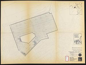
Back Bay urban renewal area r-47 : proposed treatment and title 1 projects
162.
Back Bay urban renewal area r-47 : existing and proposed community facilities
163.
Basement plan of terminal station at Boston, Massachusetts, for the N.Y.N.H & H. and B. & A. railroads
164.
Boston Harbor : challenges and opportunities for the 1980's
165.
Boston thorofare plan existing routes and proposals
166.
Campus High School urban renewal area Mass. r- : locality map blighted areas
167.
Campus High School urban renewal area Mass. r- : locality map important features
168.
Campus High School urban renewal area, Mass. r- : land disposition map
169.
Campus High School urban renewal area Mass. r- : building conditions
170.
Campus High School urban renewal area Mass. r-129 : property map
171.
Campus High School urban renewal area Mass. r-129 : disposition parcels
172.
Campus High School urban renewal area Mass. r-129 : existing and proposed zoning
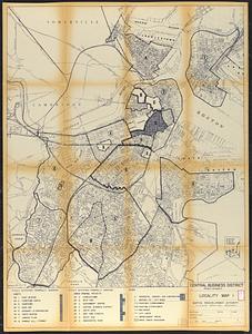
173.
Central business district project no Mass r- : existing building condition
174.
Central business district project no Mass r- : locality map 1
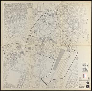
175.
Central business district urban renewal area Massachusetts r-82 : pedestrian circulation
176.
Central business district urban renewal area Massachusetts r-82 : vehicular circulation
177.
Central business district urban renewal area Massachusetts r-82 : disposition parcels
178.
Central business district urban renewal area Massachusetts r-82 : acquisition plan
179.
Central business district urban renewal area Massachusetts r-82 : street adjustments
180.
Central business district urban renewal area Massachusetts r-82 : zoning plan
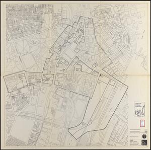
‹ Prev
Next ›
1
2
…
5
6
7
8
9
10
11
12
13
…
24
25