Toggle navigation
LMEC Home
Exhibitions
Georeferencing
Tools for Teachers
Collections
My Favorites
Sign Up / Log In
Search
Search the map portal
Map Collection
Map Collection
Map Sets
Search
Search
Search for
Search In
All Fields
Creator
Title
Subject
Place
Search All Digital Collections
Advanced Search
8750 Results
My Search
Start Over
More Like
commonwealth:n2971615q
Remove constraint More Like: commonwealth:n2971615q
Filter your Search
Place
North and Central America
5,981
United States
4,898
Massachusetts
2,084
Europe
1,396
Suffolk (county)
1,046
Boston
1,019
Canada
451
Asia
438
more
Place
»
Topic
Boston (Mass.)--Maps
586
United States--Maps
282
Real property--Massachusetts--Boston--Maps
175
Massachusetts--Maps
168
Landowners--Massachusetts--Boston--Maps
133
New England--Maps
107
North America--Maps--Early works to 1800
103
Europe--Maps
79
more
Topic
»
Date
Date range begin
–
Date range end
Current results range from
1482
to
2023
View distribution
Creator
United States. Hydrographic Office
595
O.H. Bailey & Co
148
Des Barres, Joseph F. W. (Joseph Frederick Wallet), 1722-1824
123
United States. Post Office Dept
120
Ptolemy, 2nd cent
100
Walling, Henry Francis, 1825-1888
94
Geological Survey (U.S.)
91
Jefferys, Thomas, -1771
86
more
Creator
»
Format
Maps/Atlases
8,690
Manuscripts
217
Prints
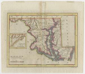
56
Books
36
Objects/Artifacts
10
Drawings/Illustrations
8
Posters
5
Georeferenced
Yes
871
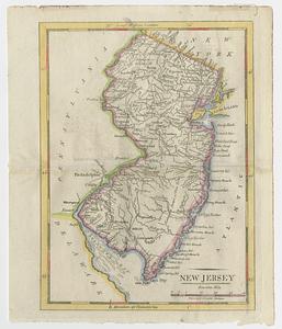
No
7,879
Collection
Norman B. Leventhal Map & Education Center Collection
8,702
Boston and New England Maps
2,239
Urban Maps
2,023
Maritime Charts and Atlases
1,083
American Revolutionary War-Era Maps
664
Boston Redevelopment Authority Collection
87
William L. Clements Library Collection
26
Maps from AAS
16
more
Collection
»
Available to use
No known restrictions
8,560
Creative Commons license
48
Search Constraints
Sort by relevance
relevance
title
date (asc)
date (desc)
Number of results to display per page
20 per page
10
per page
20
per page
50
per page
100
per page
View results as:
grid view
map view
Search Results
101.
Delaware Bay and Chesapeake Bay
102.
Delaware Bay and Chesapeake Bay
103.
A draft of the Ohio from an Indian account
104.
A map of part of Pennsylvania & Maryland intended to shew, at one view, the several places ...
105.
A map of the country between Will's Creek & Monongahela River shewing the rout and encampments of the English army, in 1755
106.
Maryland
107.
The States of Maryland and Delaware, from the latest surveys
108.
The states of Maryland and Delaware from the latest surveys, 1799
109.
Bridge from Staten Island to the Jersies, by Cn. Laird's description
110.
Carte du theatre de la guerre presente en Amerique
111.
A compleat plan of part of the province of Pennsylvania East and West Jersey shewing the transactions of the royal army under...
112.
An Exact map of New England, New York, Pensylvania & New Jersey, : from the latest surveys
113.
From Freehold toward Trenton
114.
Krigs theatren i America = Seat of war in America
115.
Map of American camp in New Jersey and surrounding countryside
116.
[Map of parts of Pennsylvania, New York and New Jersey]
117.
A new and accurate map of New Jersey, from the best authorities
118.
New Jersey
119.
Northern New Jersey
120.
Part of the modern counties of Monmouth, Middlesex, Somerset, Hunterdon, Mercer, Burlington, and Ocean in New Jersey and...
‹ Prev
Next ›
1
2
3
4
5
6
7
8
9
10
…
437
438


![[Map of parts of Pennsylvania, New York and New Jersey]](https://bpldcassets.blob.core.windows.net/derivatives/images/commonwealth:6108vt40m/image_thumbnail_300.jpg)